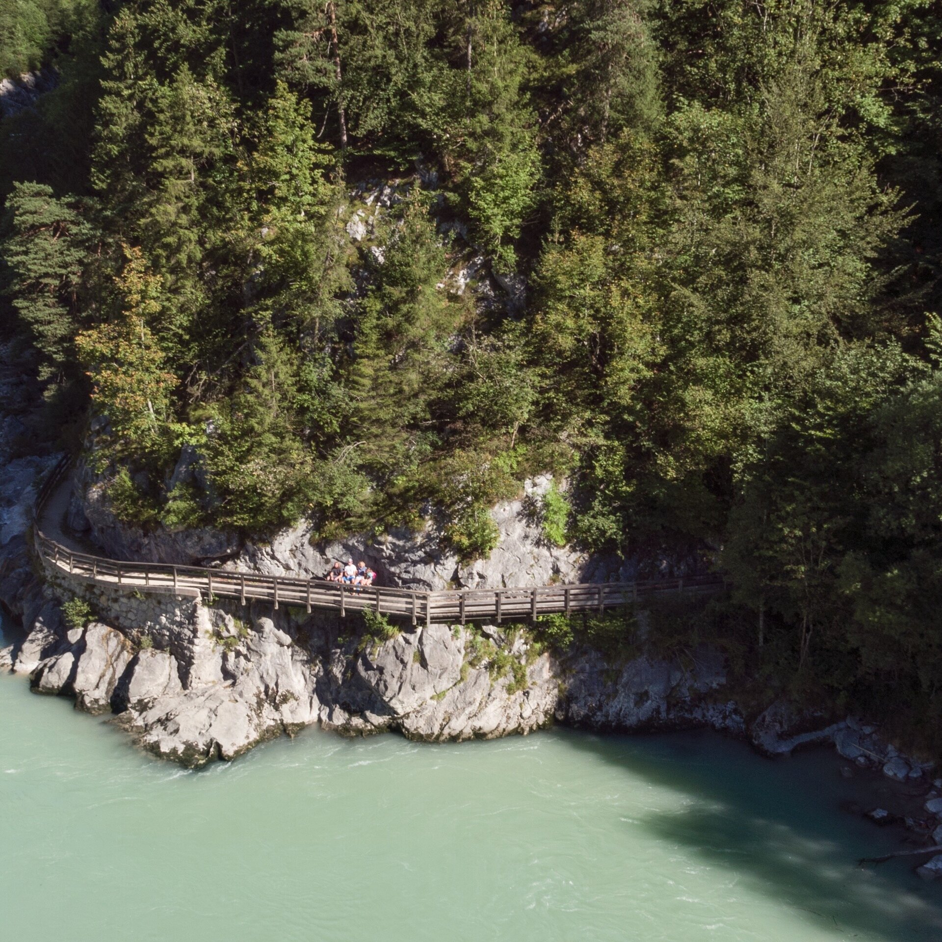
From Unken via the Gaissteig and through the Innersbachklamm to Reith. Return via the Klebertal and the Gaissteig to Unken.
Physical condition: The hike is mostly flat along the Saalach. The total walking time for the nearly 7 kilometres is ca. 2 hours.
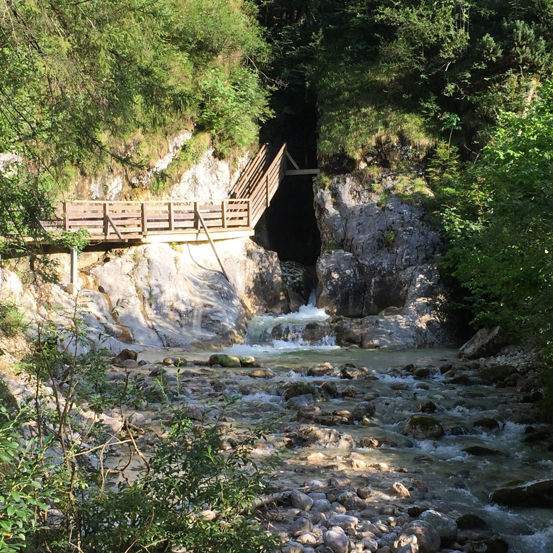
In brief: The hike follows well-maintained hiking paths at the start from Unken via the Gaissteig along the Saalach to Reith. In the Innersbachklamm there are a few staircases with steps. After a short circuit in Reith, return along the same path to Unken. Refreshments available at the "Vitaloase Drei Brüder" in Reith, at the Landhotel Schütterbad at the beginning of the Gaissteig or other restaurants in the village centre of Unken.
Tour highlights: The Innersbachklamm in Reith at the halfway point of the tour as well as the opportunities to cool off in the wild bathing spots Gaissteig and Innersbachklamm.
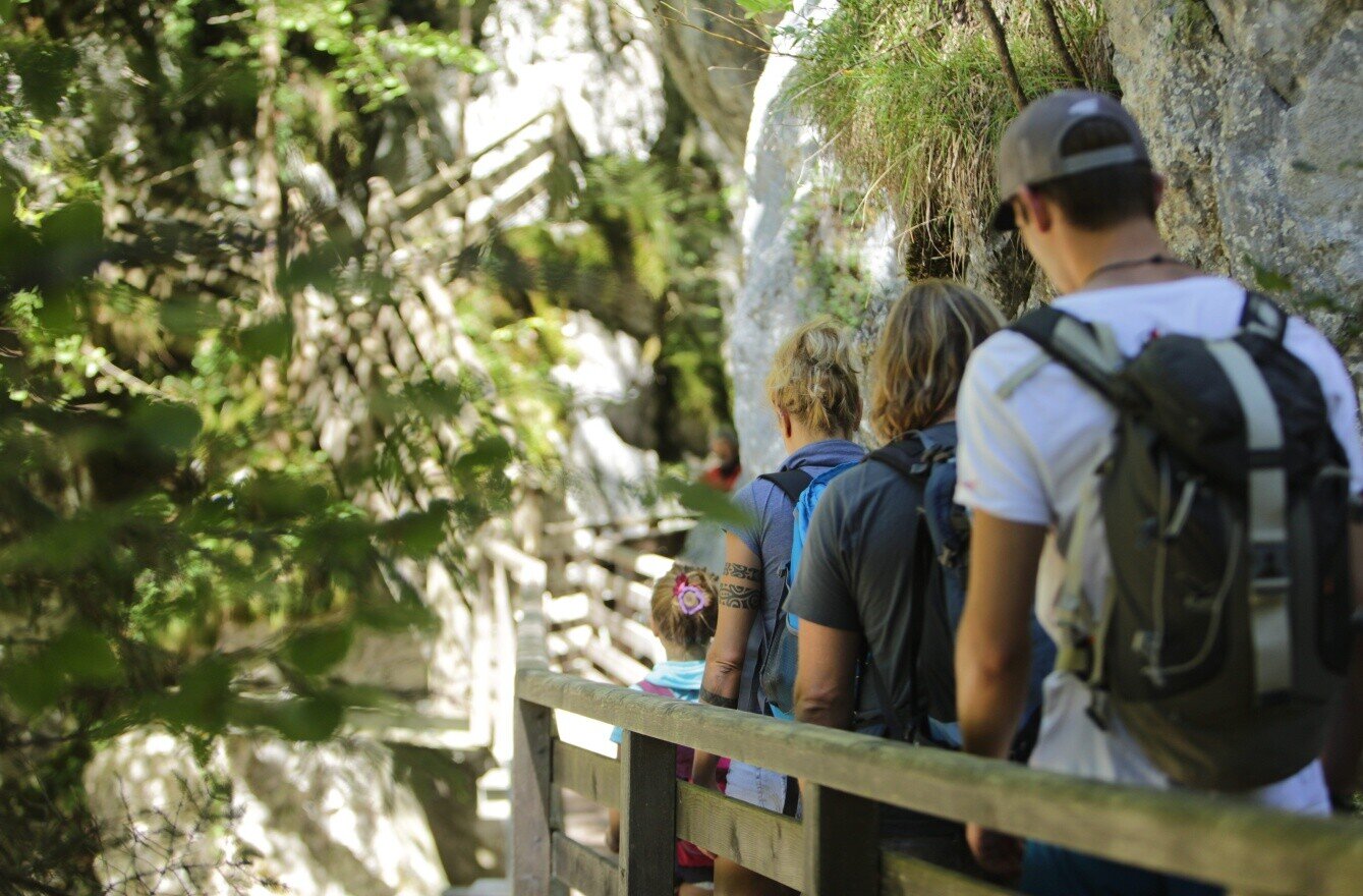
The tour is part of “Hiking with Kids” in the Salzburger Saalachtal. The duration and difficulty are suitable for children/families.
From the hiking starting point in the village centre of Unken, cross the main road, pass the Metzgerei Dornauer (butcher) and cross over the bridge to the other side of the river. Follow the Saalach upstream to the Landhotel Schütterbad. Pass this on the left and continue on the Gaissteig towards Reith. A special highlight is the hike through the Innersbachklamm just before Reith. Here, either a short way to the right for refreshments at the Drei Brüder or left along the road. Just after the “Reith swimming pool” turn left into the Klebertal. The trail joins up with the Gaissteig where you can hike the first part of the route back again in the opposite direction.
Alternative: From Reith you can also walk to the main road and take the bus 260 (free with the Salzburger Saalachtal Card) back to Unken. This reduces the hiking time for the tour by half.
- Start
- Unken - Wanderdorfstartplatz
- Goal
- Unken - Wanderdorfstartplatz
Directions & Parking
Possible car parking in the centre of Unken, in front of the Municipal Office. (free of charge)
Public transport: With the bus 260 (timetable) to the stop Unken - Ortsmitte.
Coordinates:
WGS: 47.65004, 12.72975
GMS: 47° 39' 0.1" N, 12° 43' 47.1" E