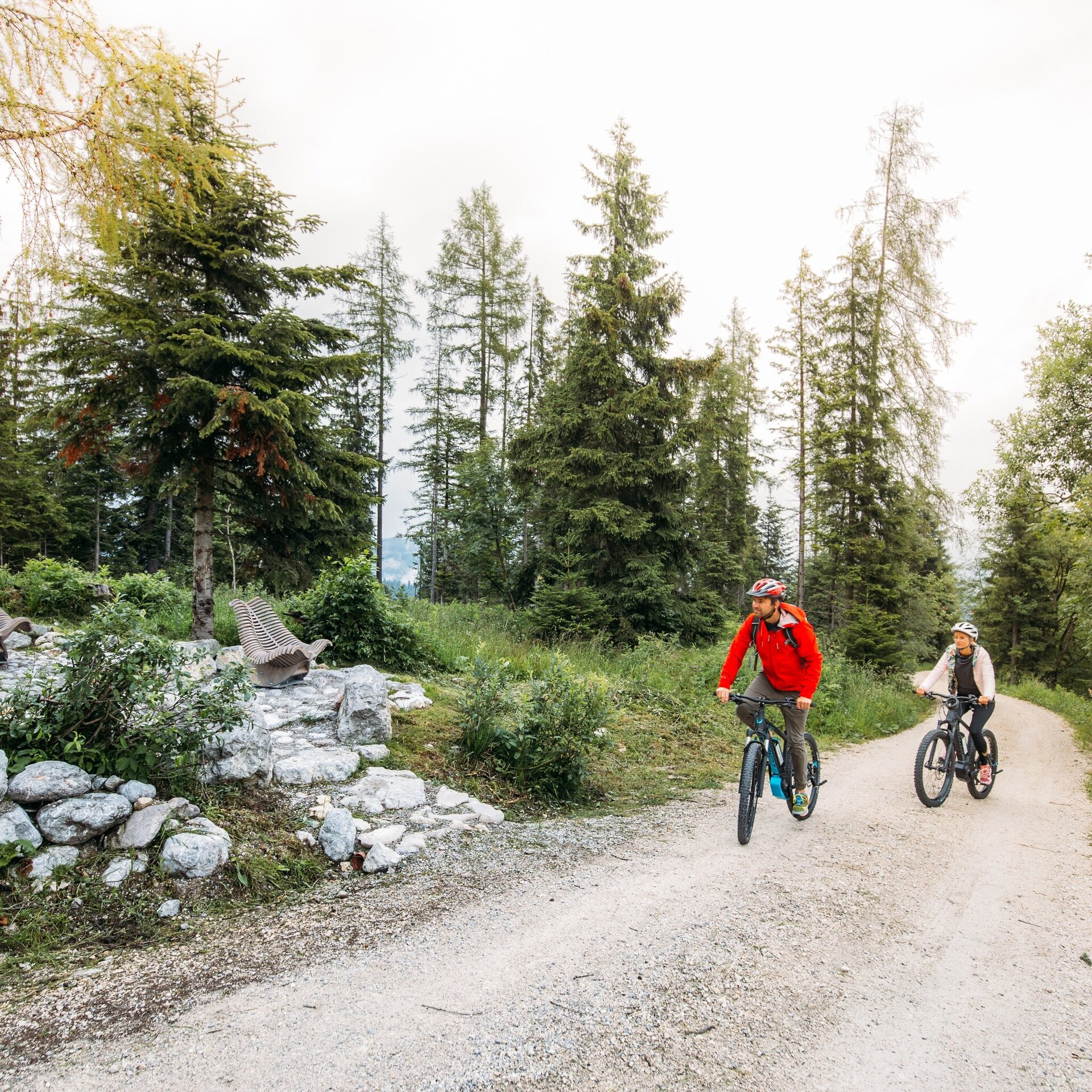
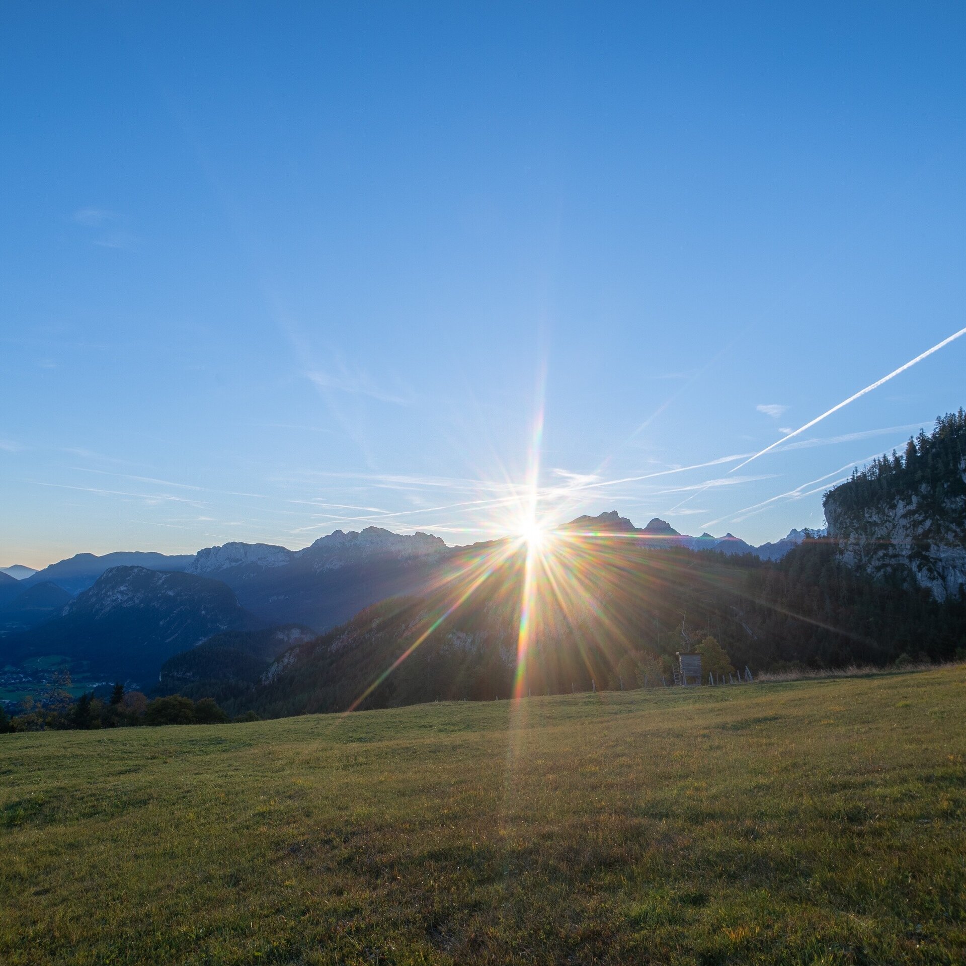
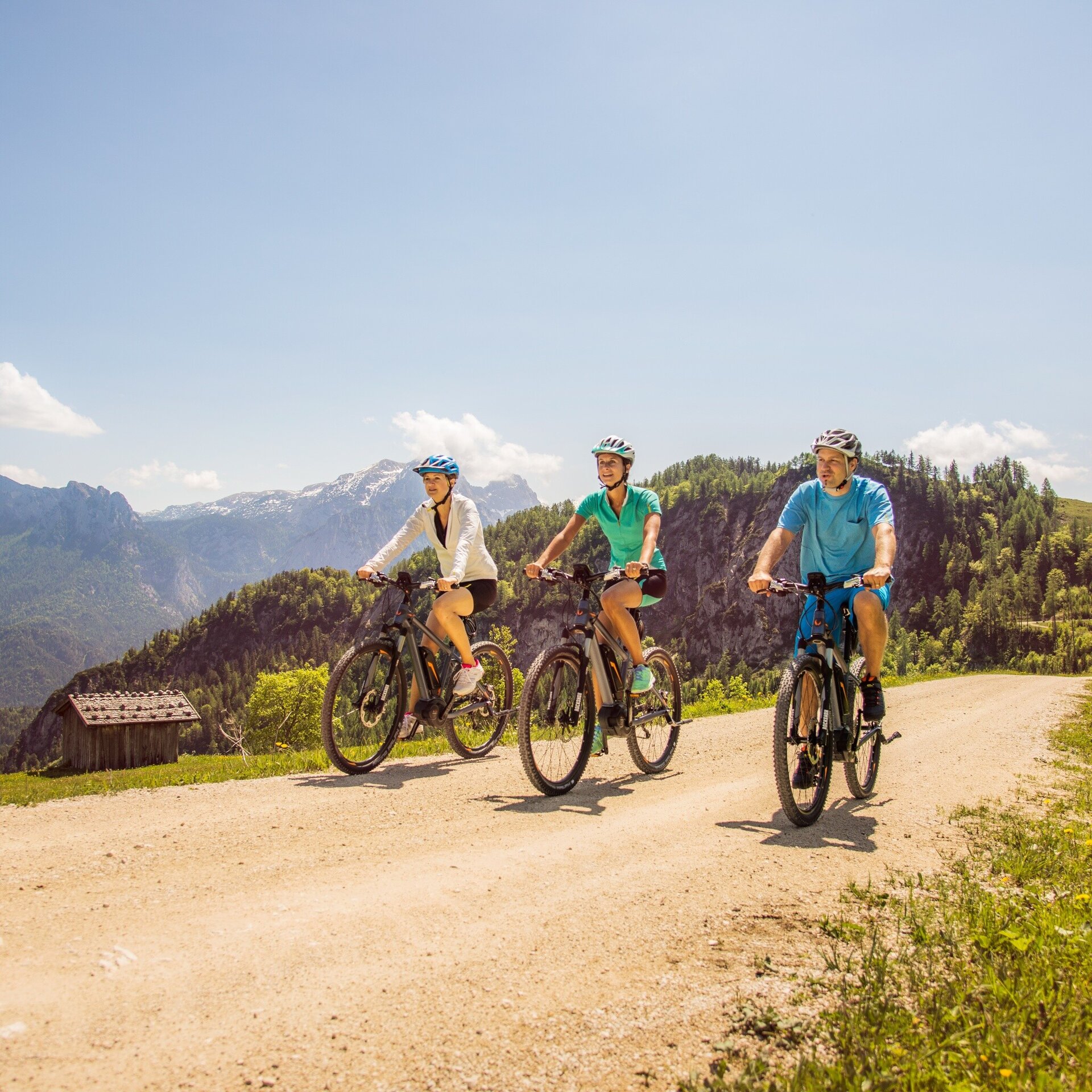
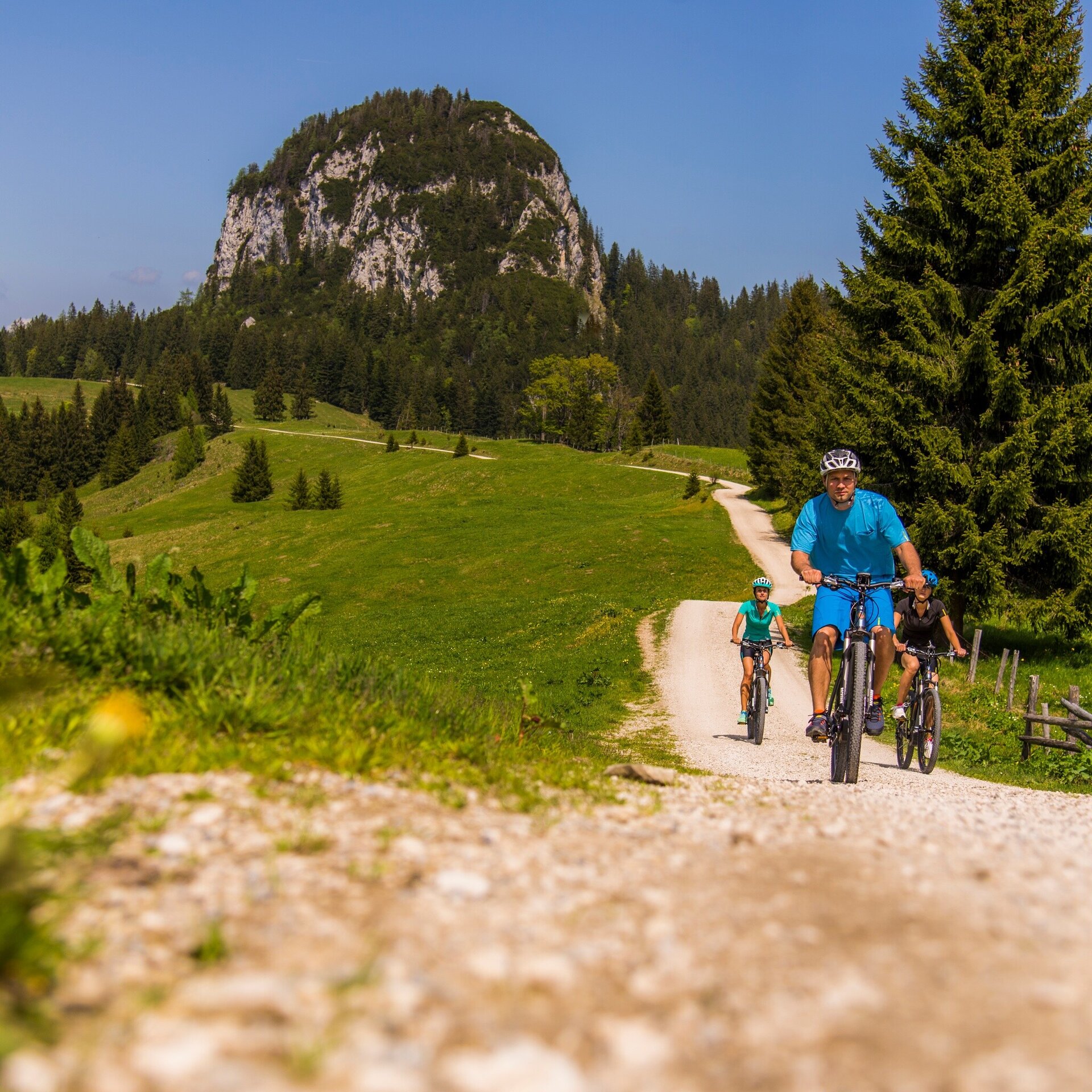
Mountain bike tour from Lofer along the Saalach to Reith and on via the Liedersberg and the Unkenberger Mähder to the Schwarzeck in the Almenwelt Lofer.
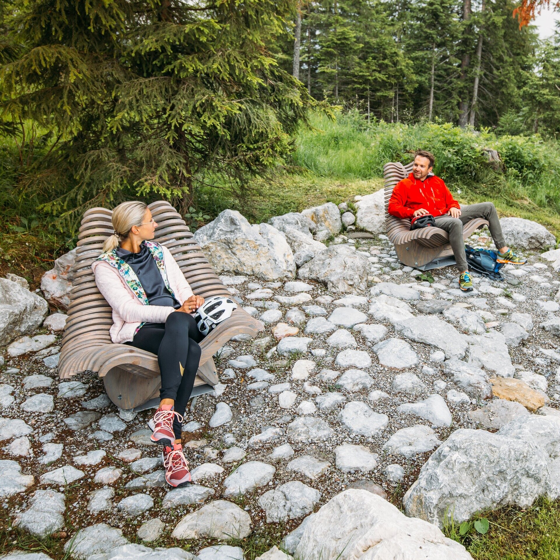
The first six kilometres are ideal to warm up and lead along the Tauern Cycle Path along the Saalach from Lofer to Reith. In Reith you cross the main road and the climb begins: Via the "Liedersberg-Forststraße" it is 4 kilometres uphill to the "Dax". From here it is another 6 kilometres and 500 metres in altitude through the "Unkenberger Mähder" and past the top spot to the highest point of the tour, the Schwarzeck in the Almenwelt Lofer. The last 8 kilometres are downhill along the asphalt high-altitude road to Lofer.Lofer - Auer Brücke - Reith - Liederseberg - Dax - Unkenberger Mähder - Top Spot - Dietrichshorn - Schwarzeck - Almenwelt Lofer - Loderbichl - Lofer.
- Start
- Lofer tourist information office
- Goal
- Lofer tourist information office
Best Time of Year
Jän
Feb
Mär
Apr
Mai
Jun
Jul
Aug
Sep
Okt
Nov
Dez
Directions & Parking
Parking:
Take the B311 or B178 to Lofer, at the roundabout continue in the direction of Salzburg. 300 metres later you will find the large car park at the tourist office (5090 Lofer, Lofer 310).
At the large car park in Lofer (address: 5090 Lofer, Lofer 310)
Public transport: Take bus 260 (timetable) or 810 (timetable) to Lofer (secondary school/tourism association).
Coordinates:
WGS: 47.58677, 12.6951
GMS: 47° 35' 12.4" N, 12° 41' 42.4" E
At the large car park in Lofer (address: 5090 Lofer, Lofer 310)
Public transport: Take bus 260 (timetable) or 810 (timetable) to Lofer (secondary school/tourism association).
Coordinates:
WGS: 47.58677, 12.6951
GMS: 47° 35' 12.4" N, 12° 41' 42.4" E
Equipment
MTB-Equipment