Circular hike via the Bim- and Schwarzeckalm to the viewing tower on Schwarzeck.
Physical condition: Strength for ca. 1.5 hours hiking uphill with a height difference of 280 m. Total hiking time ca. 2.5 hours.
In brief: The entire circuit leads along well-maintained hiking paths or forest roads through the alpine pasture area of the Almenwelt Lofer. The section Bimalm - Schwarzeckalm is an easily walkable meadow path. Refreshments available at the Kechtalm at the halfway point of the tour or at Haus Schönblick and Restaurant Soderkaser at the mountain station Almenwelt II.
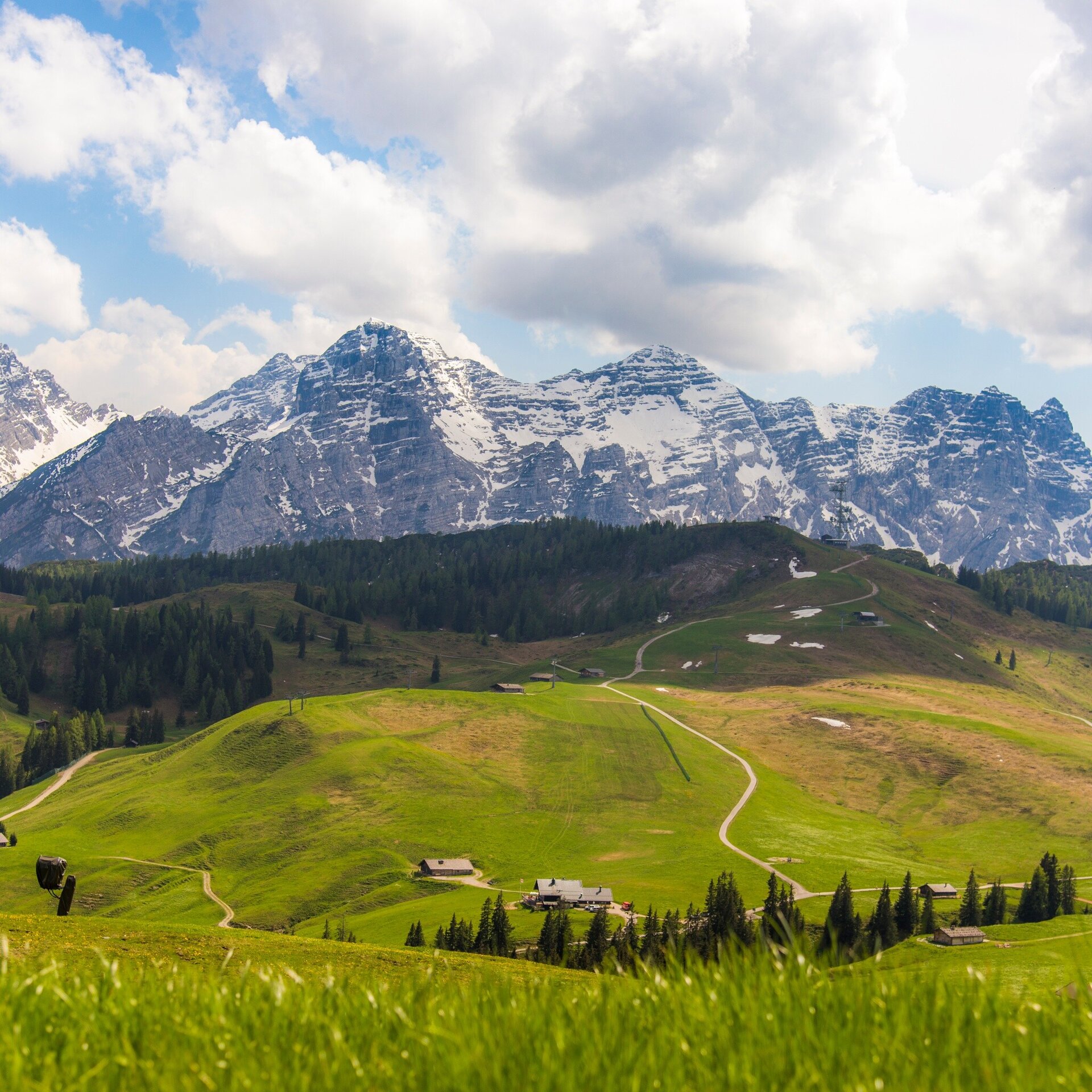
Tour highlights: The viewing tower Schwarzeck awaits at the highest point of the tour with a magnificent view of the alm landscape and further on to Tyrol and Germany. Further highlights are the numerous alm huts and cows in the Almenwelt Lofer.
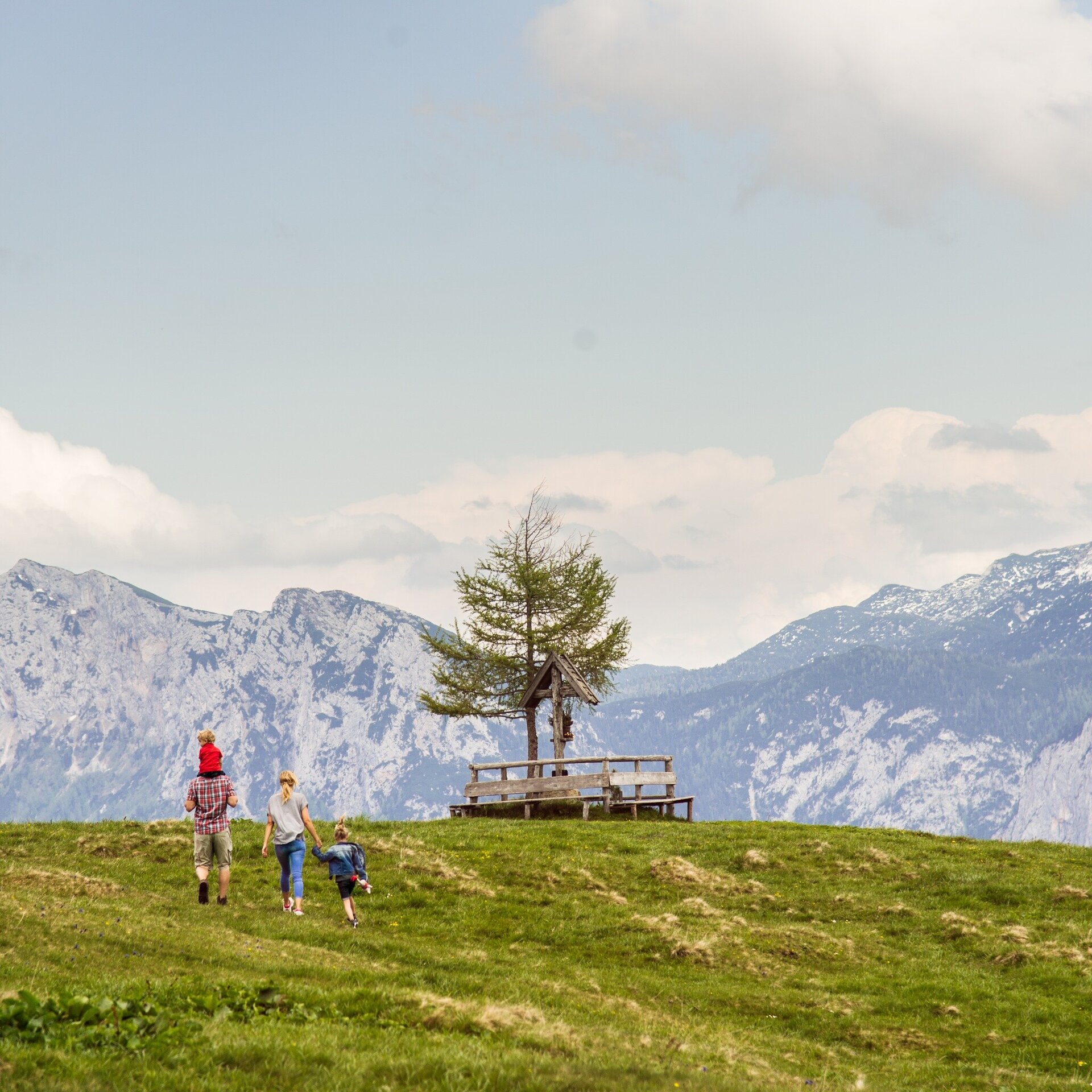
The tour is part of “Hiking with Kids” in the Salzburger Saalachtal. The duration and difficulty are suitable for children/families.
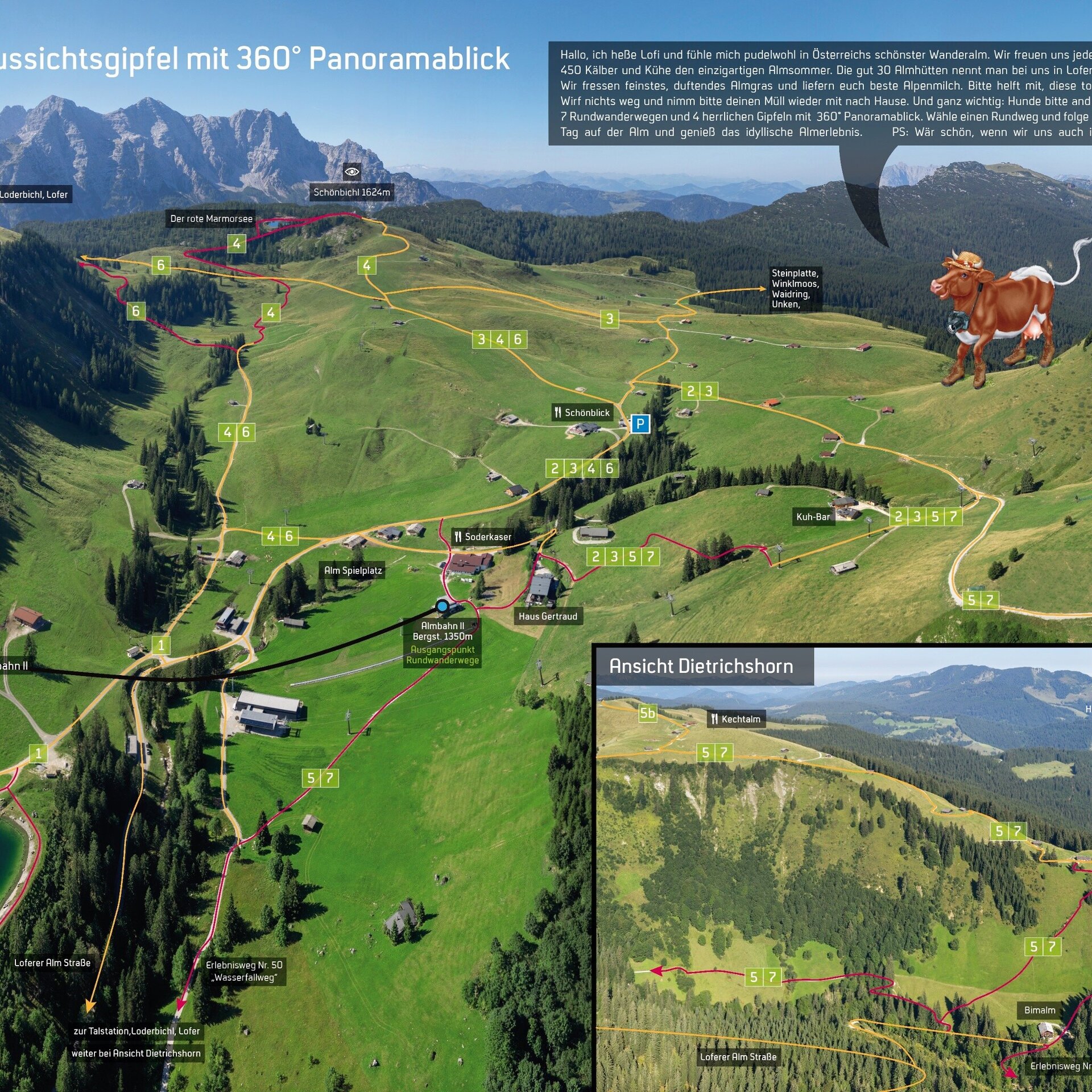
From the mountain station Almbahn II follow the Waterfall Trail (hiking path nr. 50) gently up hill to Bimalm. There, crosswise uphill along the meadow path to the high plateau and then turn left toward Schwarzeckalm. Continue uphill in zig-zags to the restaurant Kechtalm and to Schwarzeck with the viewing tower. Along the hiking path below the Schwarzeck chairlift to the forest road and over the Loferer Alm, past the Kuhbar and Haus Schönblick back to the mountain station, the start and end point of the tour.
- Start
- Mountain station Almbahn II - Almenwelt Lofer
- Goal
- Mountain station Almbahn II - Almenwelt Lofer
Directions & Parking
Car park at the valley station of the Almenwelt Lofer or the large car park at the Tourist Office (free of charge).
Public transport: Take the 260 Zell am See - Salzburg (timetable) or 4012 Kitzbühel - Lofer (timetable) bus to the Lofer Mittelschule/Tourismusverband stop.
From here it is about a 5-minute walk to the valley station of the Almenwelt Lofer. Take the Almbahn I and Almbahn II gondolas to the start of the tour.
Coordinates:
WGS: 47.60807, 12.65411
GMS: 47° 36' 29.1" N, 12° 39' 14.8" E
More Information & Links
Tips
Tour Highlights: Am höchsten Punkt der Tour wartet der Aussichtsturm Schwarzeck mit seinem grandiosen Blick über die Almlandschaft und weiter bis nach Tirol und Deutschland.Equipment