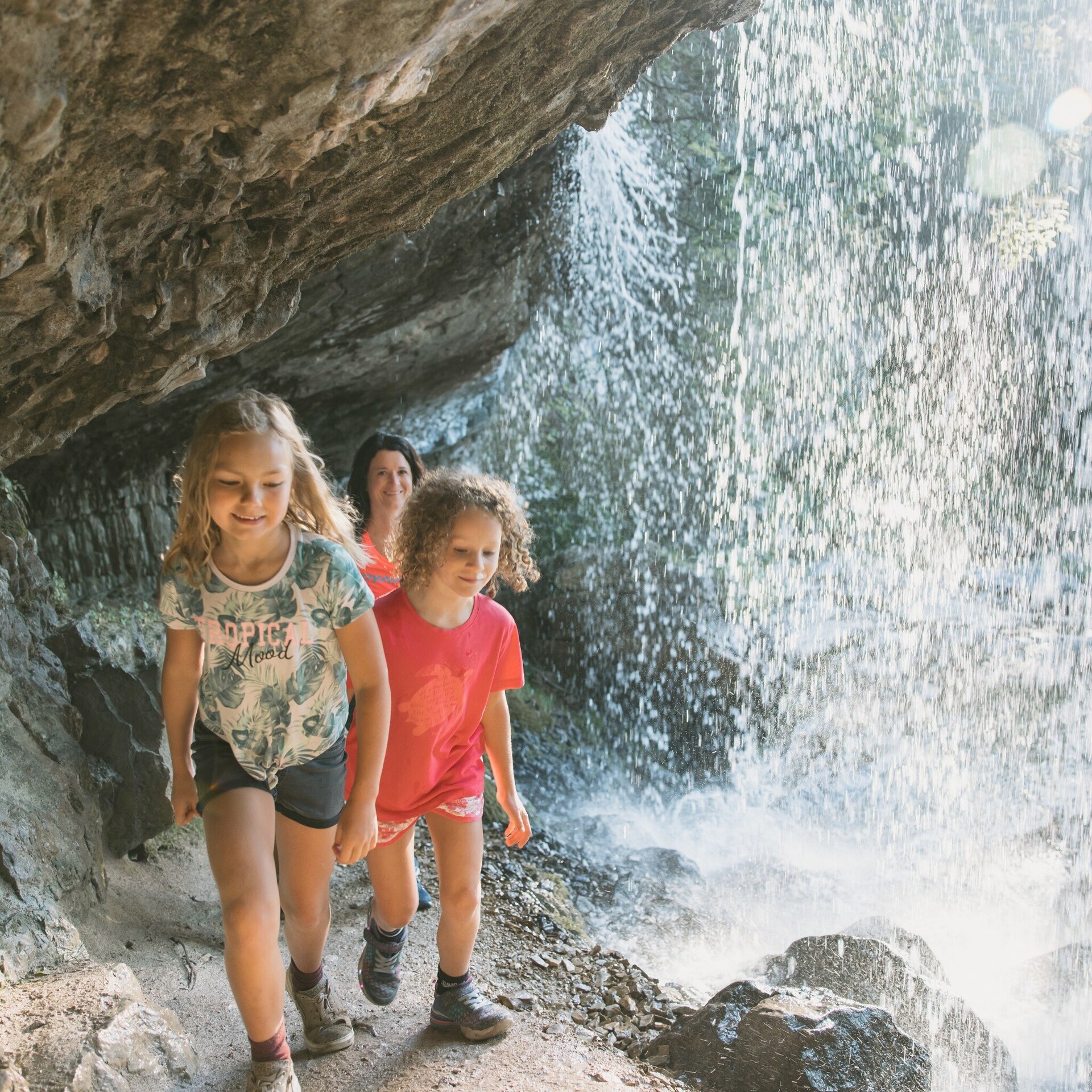
A varied hike along the adventure trail up to the Loferer Alm.
Physical condition: Strength for hiking ca. 2 hours up hill with an ascent of 350 m.
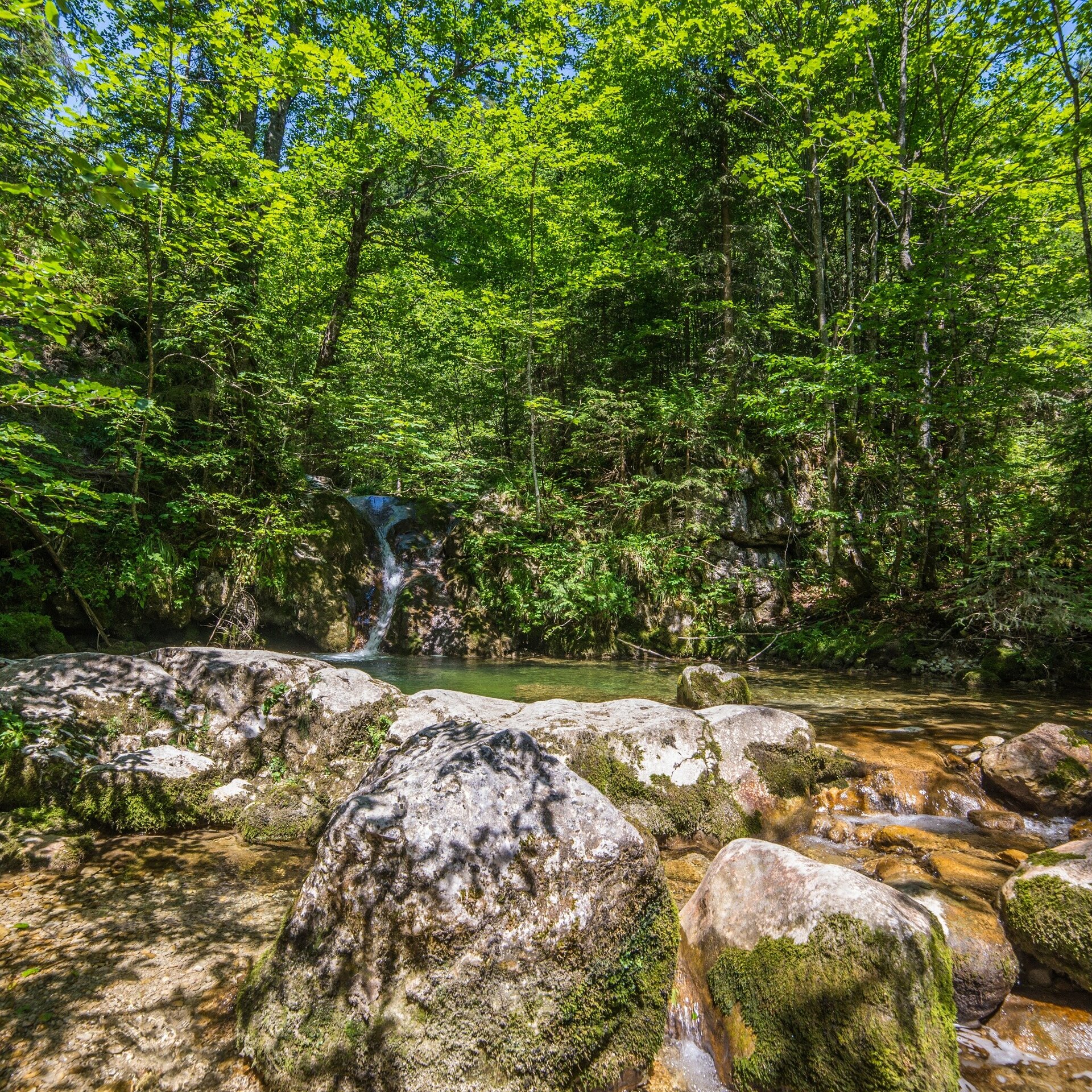
In brief: The entire hike leads along well-maintained hiking trails. First through the forest and over small clearings; in the second part past rushing waterfalls and countless small pools. Refreshments are available at the end of the trail in the restaurants of the Almenwelt Lofer or at the beginning of the tour at the Restaurant Loderbichl (middle station of the Almbahn).
Tour highlights: The game and puzzle stations on the adventure trail; the waterfalls in the second part of the hike and the big alm playground at the end of the tour.
The tour is part of “Hiking with Kids” in the Salzburger Saalachtal. The duration and difficulty are suitable for children/families.
The starting point for the hike along the Waterfall Trail is the middle station of the Loferer Almbahn at ca. 1000 m above sea level. Follow the sign “Wasserfallweg Nr. 50”. The trail first leads through the forest towards the north in the direction of the Würmbach stream with its rushing waterfall. From there it climbs in zig-zags and offers wonderful views of the lower lying Sodervokenalm. After you have crossed the stream, you reach the picturesque Bimalm, from where the path continues further up across steep alpine pastures. You reach the Loferer Alm from below and cross another small meadow or follow the road to the mountain station of the Almbahn II.
Return: Either the same way or with the cable cars Almbahn II and Almbahn I back to Lofer.
- Start
- Mountain station Almbahn I (Loderbichl)
- Goal
- Mountain station Almbahn II (Soderkaser)
Directions & Parking
Parking is possible directly at the valley station of the Loferer Almbahn or in the large car park at the Salzburger Saalachtal Tourist Office.
Public transport: Use public transportation for an eco-friendly and convenient way to reach our tours. Detailed information about available transportation options can be found on our Arrival & Mobility page.
Coordinates:
WGS: 47.60404, 12.68338
GMS: 47° 36' 14.5" N, 12° 41' 0.2" E
More Information & Links
Tips
Tour Highlights: Die Spiel- und Rätselstationen am Erlebnisweg, die Wasserfälle im zweiten Abschnitt der Wanderung und der große Almspielplatz am Ziel der Tour. An warmen Sommertagen auch die Lofi's Wasseralm, wenige Gehminuten vom Almspielplatz entfernt.