Leisurely valley circuit to the Saalachtal forces of nature
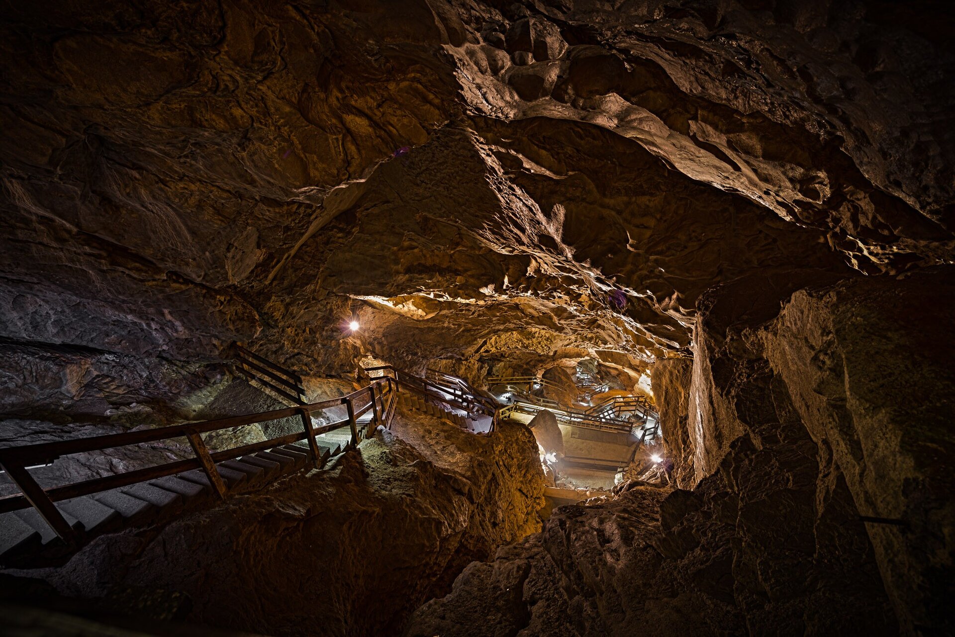
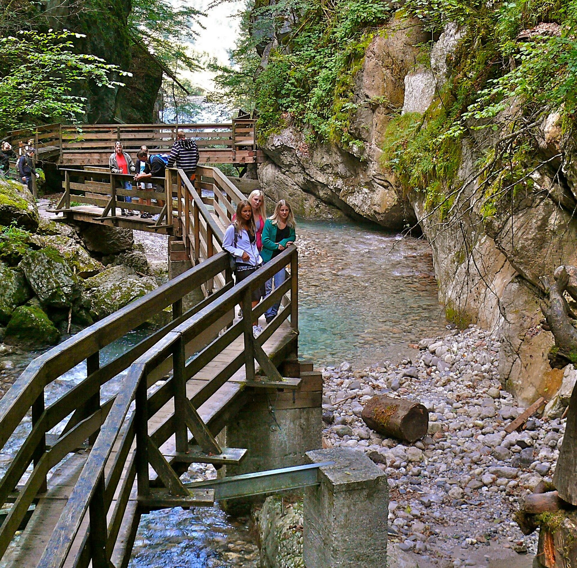
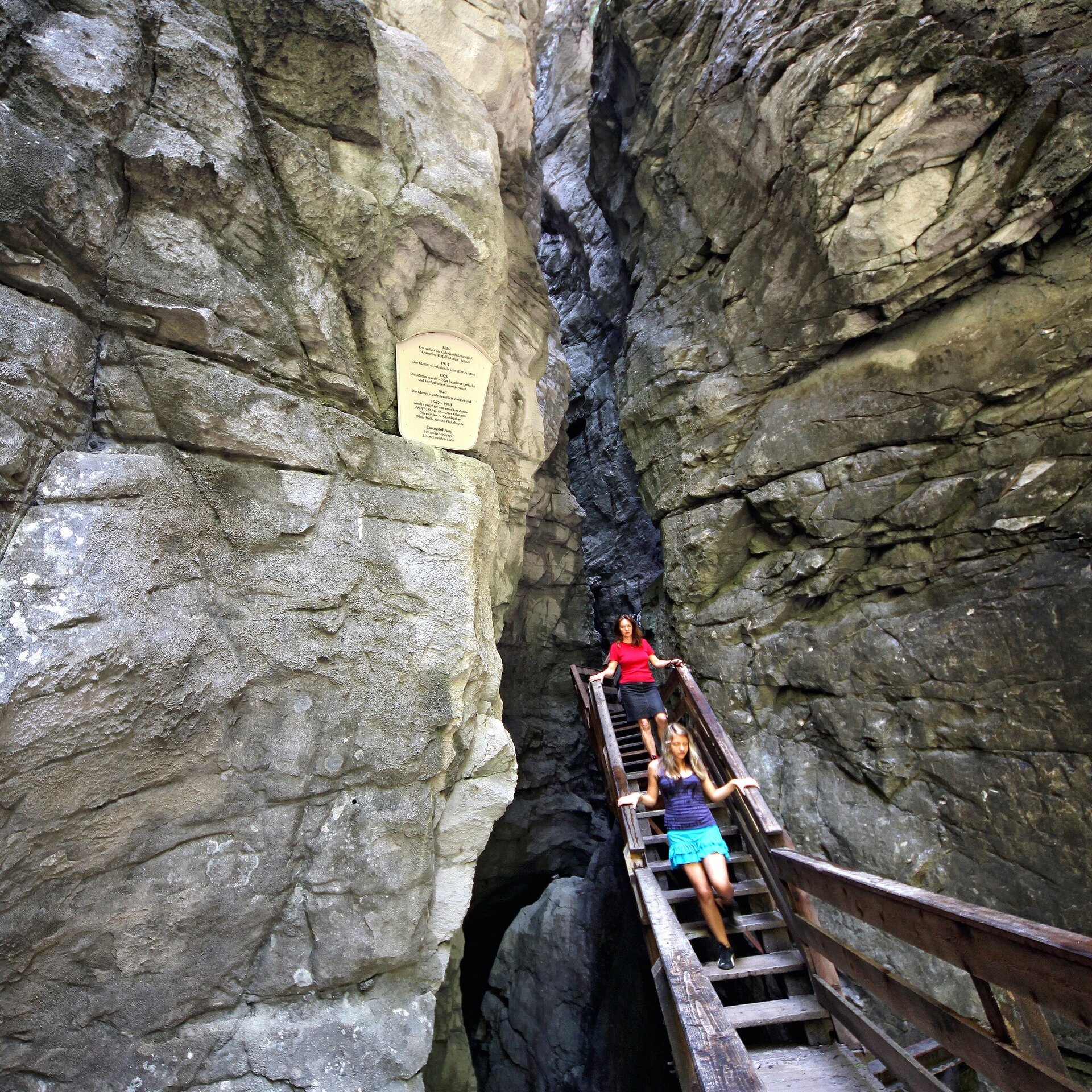
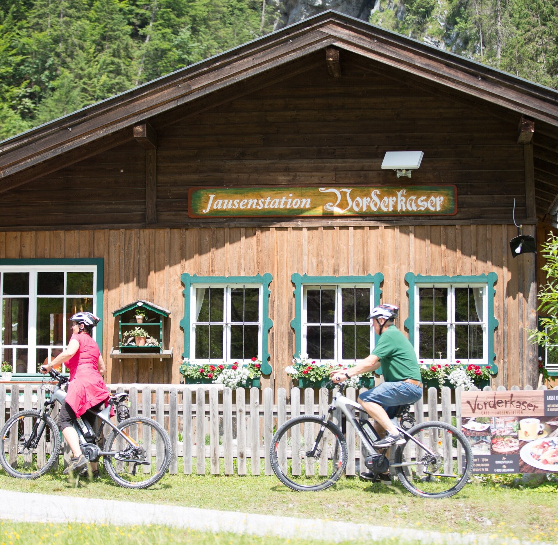
From Lofer, the tour leads along the Tauern Cycle Path without many metres in altitude to the Saalachtal forces of nature. At the foot of the Loferer and Leoganger Steinberge mountain ranges and at the foothills of the Steinernes Meer, nature has created bizarrely shaped rocks, raging waterfalls and one of the largest cave systems in Europe in a very small area: the Vorderkaserklamm, the Lamprechtshöhle and the Seisenbergklamm.The bike tour leads from Lofer to Weißbach and back along the well-signposted Tauern Cycle Path. You start at the large car park in Lofer and cycle towards the church tower to reach the centre of Lofer. Here you cross the market square, ride along Marktstraße until you reach Bundesstraße, behind Hotel Lintner turn left and ride in the shadow of Rauchenberg past Gasthof Hochmoos and follow the road until you reach Bundesstraße. Here you turn right and follow a short section next to the main road to Sankt Martin bei Lofer. Continue along the cycle path towards the Vorderkaser nature recreation area, which is perfect for a first short rest. In about 2 km you will reach the Vorderkaserklamm gorge. Back again, past the natural bathing area, you then turn right to continue in the direction of Weißbach. After about 2 km you will reach the Lamprechtshöhle (show cave - one of the largest cave systems in Europe). After a few more kilometres you will reach Weißbach, where your last stop, the Seisenbergklamm, awaits you. The way back leads along the Tauern Cycle Path back to Lofer.
- Start
- Lofer - Salzburger Saalachtal office
- Goal
- Lofer - Salzburger Saalachtal office
Best Time of Year
Jän
Feb
Mär
Apr
Mai
Jun
Jul
Aug
Sep
Okt
Nov
Dez
Directions & Parking
Parking:
Coming from Salzburg via the little German corner (Bad Reichenhall/B21). Then follow the B178 to Lofer.
Free parking at the large car park in Lofer (P2)
Public transport: By bus 260 opr 810 to Lofer Mittelschule (timetable)
Coordinates:
WGS: 47.58686, 12.69558
GMS: 47° 35' 12.7" N, 12° 41' 44.1" E
Coming from Innsbruck via the A12 to the Wörgl exit. From there via the B178 and St. Johann to Lofer.
Free parking at the large car park in Lofer (P2)
Public transport: By bus 260 opr 810 to Lofer Mittelschule (timetable)
Coordinates:
WGS: 47.58686, 12.69558
GMS: 47° 35' 12.7" N, 12° 41' 44.1" E
Equipment
In addition to a water bottle, we recommend sturdy shoes, warm clothing and rain protection (temperature in the cave approx. 4 °C), repair kit, first aid kit, mobile phone, light, gloves, sunglasses. Possibly take some food with you - and of course don't forget your helmet.