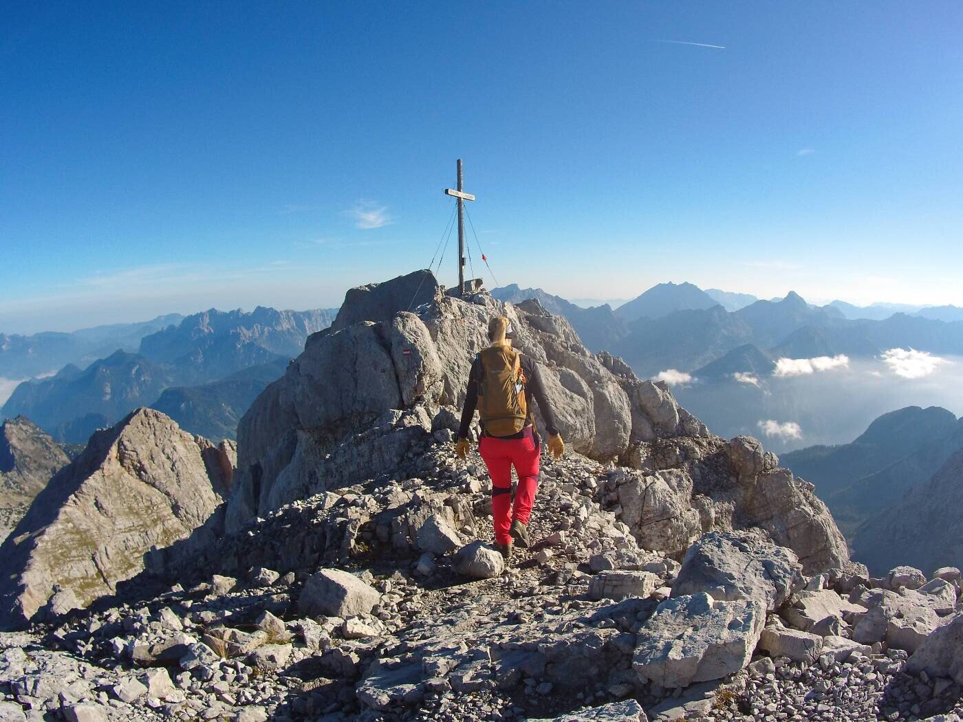
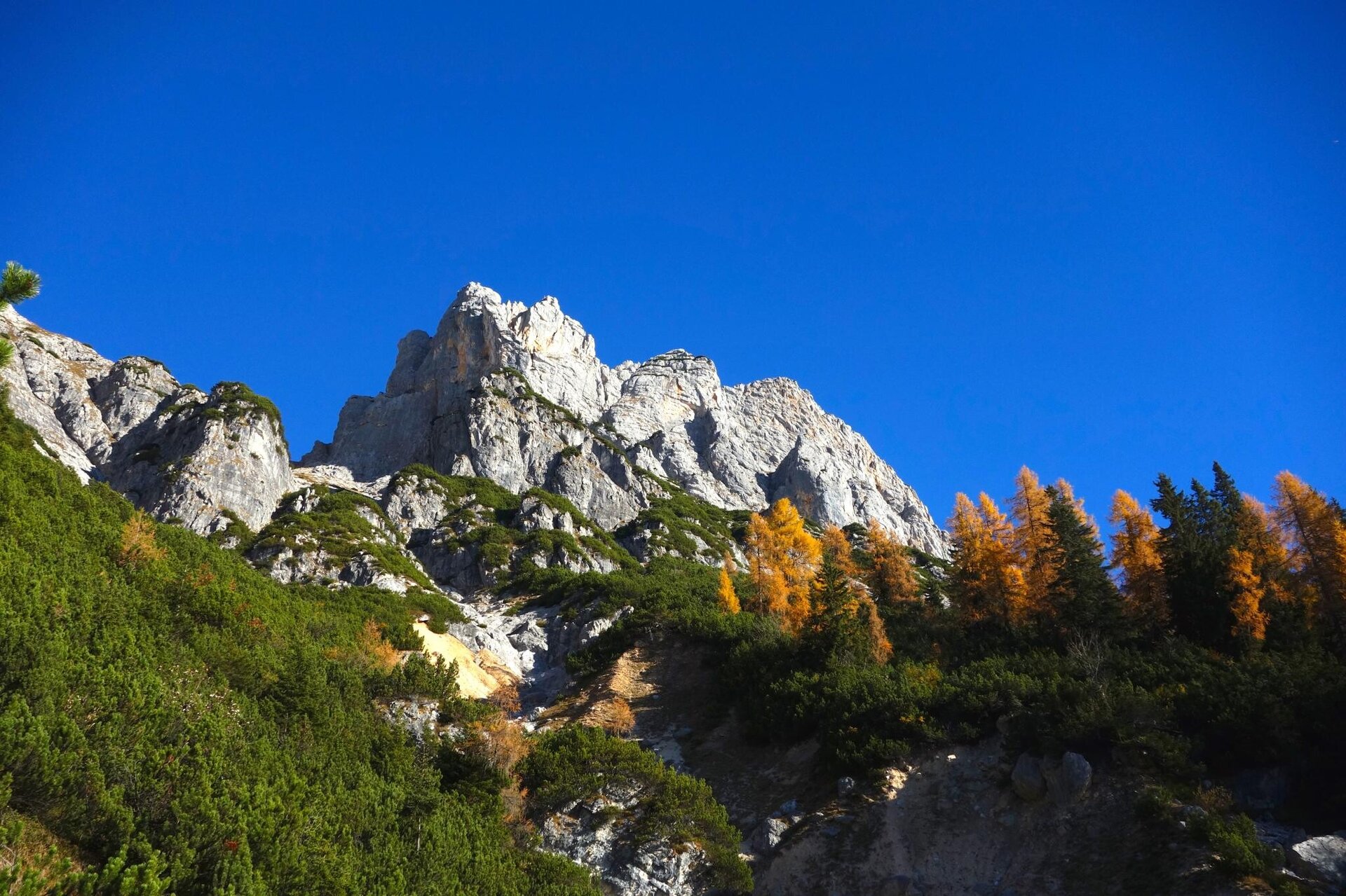
With an altitude of around 2634m, the Birnhorn is the highest mountain of the Leoganger Steinberge in Salzburg's Pinzgau region.
From the car park on the B311 main road in Weißbach, walk past the quarry along forest roads and hiking trails to the Hochgrube and on to the Passauer Hütte. From the Passauer Hütte, continue along alpine hiking trails to the "Kuchelnieder" and over the ridge to the Birnhorngipfl.
The tour is in high alpine terrain and requires surefootedness, a head for heights and mountain experience.
More info incl. alternative (see route description).
On the B 311 between Weißbach and Saalfelden there is a car park on the right (at the wooden bridge). From the car park, walk over the Saalach bridge to the trail junction (sign Passauer Hütte) to the right. Here begins a marked trail, the so-called Pfannsteig, which leads moderately to steeply up in serpentines to the forest road (1 - 1.5 hours). Follow the forest road uphill to the left over a few serpentines until you reach a small crossroads. Follow the forest road straight on until after about 20 minutes a marked trail branches off to the left into the forest. The trail leads through high forest with interesting flora to the Hochgrub hunting lodge, where you will find the last watering hole to the lodge. Continue through the forest for a while, cross a beautiful alpine pasture and then climb steeply to the Hochgrub. The trail continues only moderately uphill to the Passauer Hut. Highly recommended when the alpine pastures are in bloom!
From the Passauer Hütte in a north-westerly direction over the Hochgrub on a marked path with a moderate ascent to the foot of the Birnhorn east ridge. Cross a large boulder field on the northern slope of the Birnhorn in a large "right turn" until, after a short steep section through the boulder, you reach the marked entrance to the well-secured rock path. A well-secured via ferrata (via ferrata A) leads through the rock face up to Kuchelnieder, the gap between Birnhorn and Kuchelnieder. From here, climb in a southerly direction via a marked and partially secured path on wide ledges on the west side of the Birnhorn to the south-west ridge. The last stretch north-eastwards over the ridge to the Birnhorn summit.
Alternative ascent or descent:
From the Passauer Hütte westwards, as described above (Hochzint) to the Zintschartl. There, turn right on the marked trail until you reach a short secured band into the Melkerloch, an interesting rock gate below the Birnhorn. The Melkerloch is a large window in the Leoganger Steinberge, west of the Hochzint, through which you get a magnificent view of the Glockner mountains. Strangely, these rock windows are always called Melker- or Teufelslöcher (Devil's Holes). According to legend, the devil tore an overconfident milker, who bathed in the good milk, through these holes.
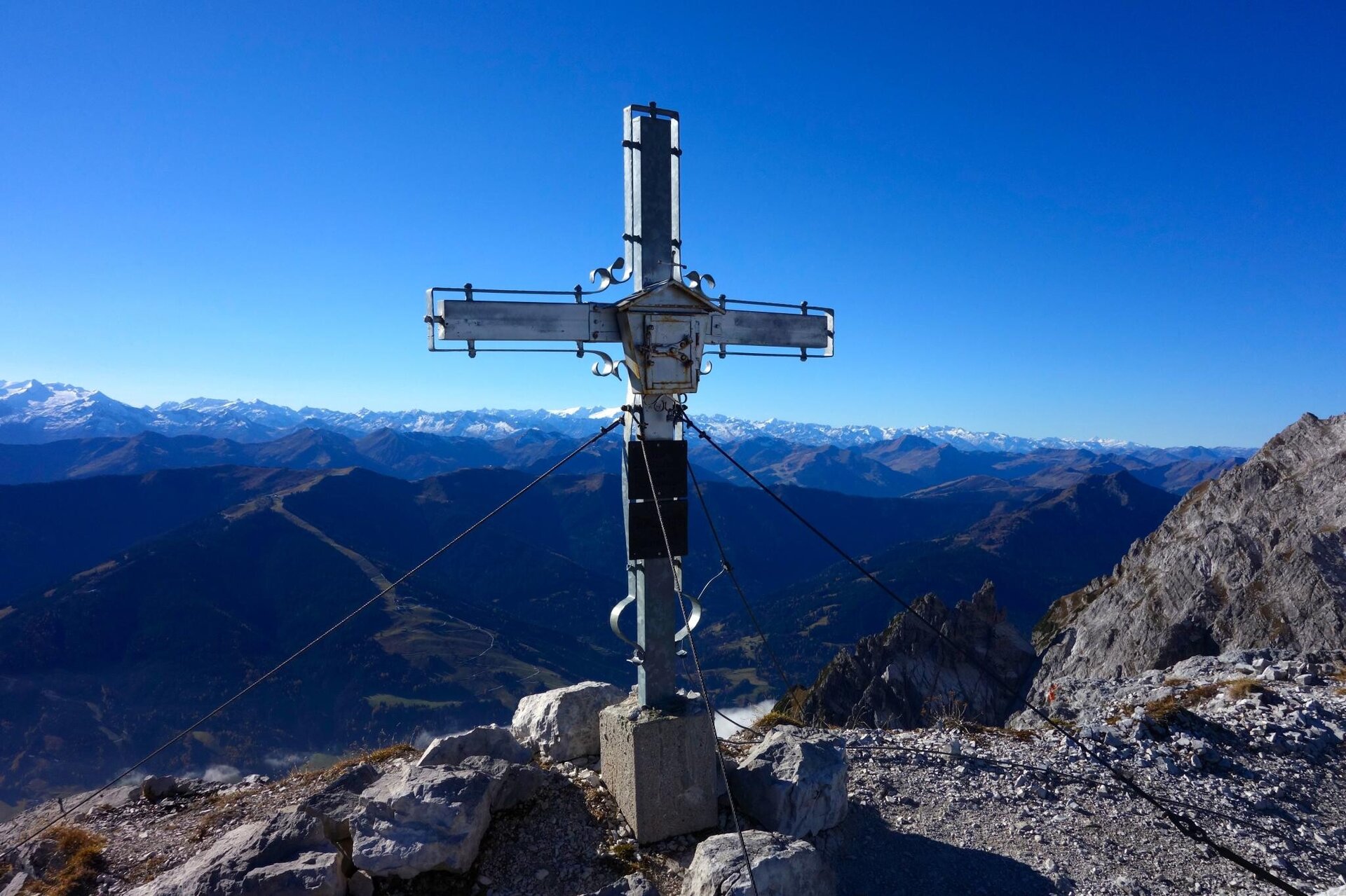
The Melkerloch is crossed from south to north and the trail then leads directly, well marked, into the Birnhorn south face. On ribbons, partly secured, it goes up over small steep steps. Approx. 50 m below the summit, follow a ribbon across to the west ridge and then head eastwards over the ridge to the summit cross.
Source: http://passauer-huette.de/
- Start
- Weißbach near Lofer
- Goal
- Weißbach near Lofer
Directions & Parking
Die nächstgelegene Haltestelle ist "Weißbach Neudorfer". Von dort erreicht Ihr den Ausgangspunkt der Wanderung zu Fuß.
Mit dem Guest Mobility Ticket nutzt Ihr während Eures gesamten Aufenthalts die öffentlichen Verkehrsmittel im Bundesland Salzburg kostenlos. Das Ticket erhaltet Ihr bei Eurer Unterkunft.
Weitere Informationen findet Ihr unter Anreise & Mobilität im Salzburger Saalachtal.
Coordinates:
WGS: 47.50325, 12.78042
GMS: 47° 30' 11.7" N, 12° 46' 49.5" E