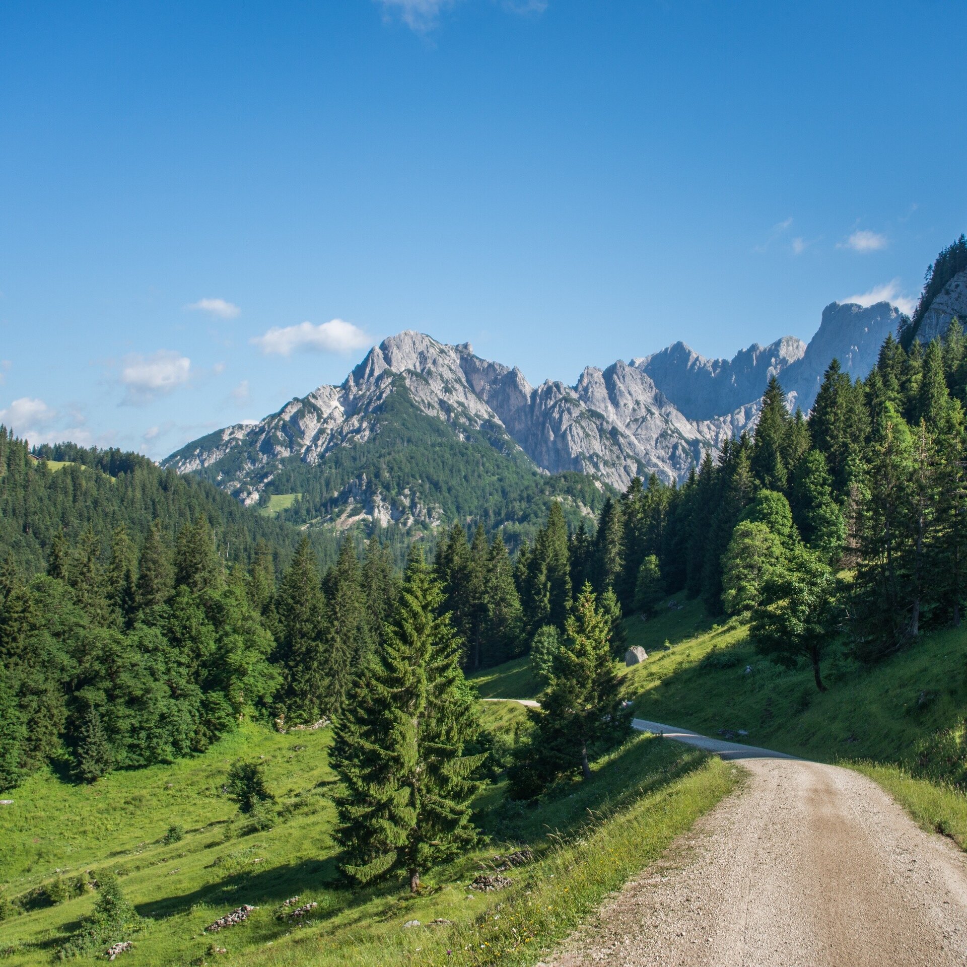
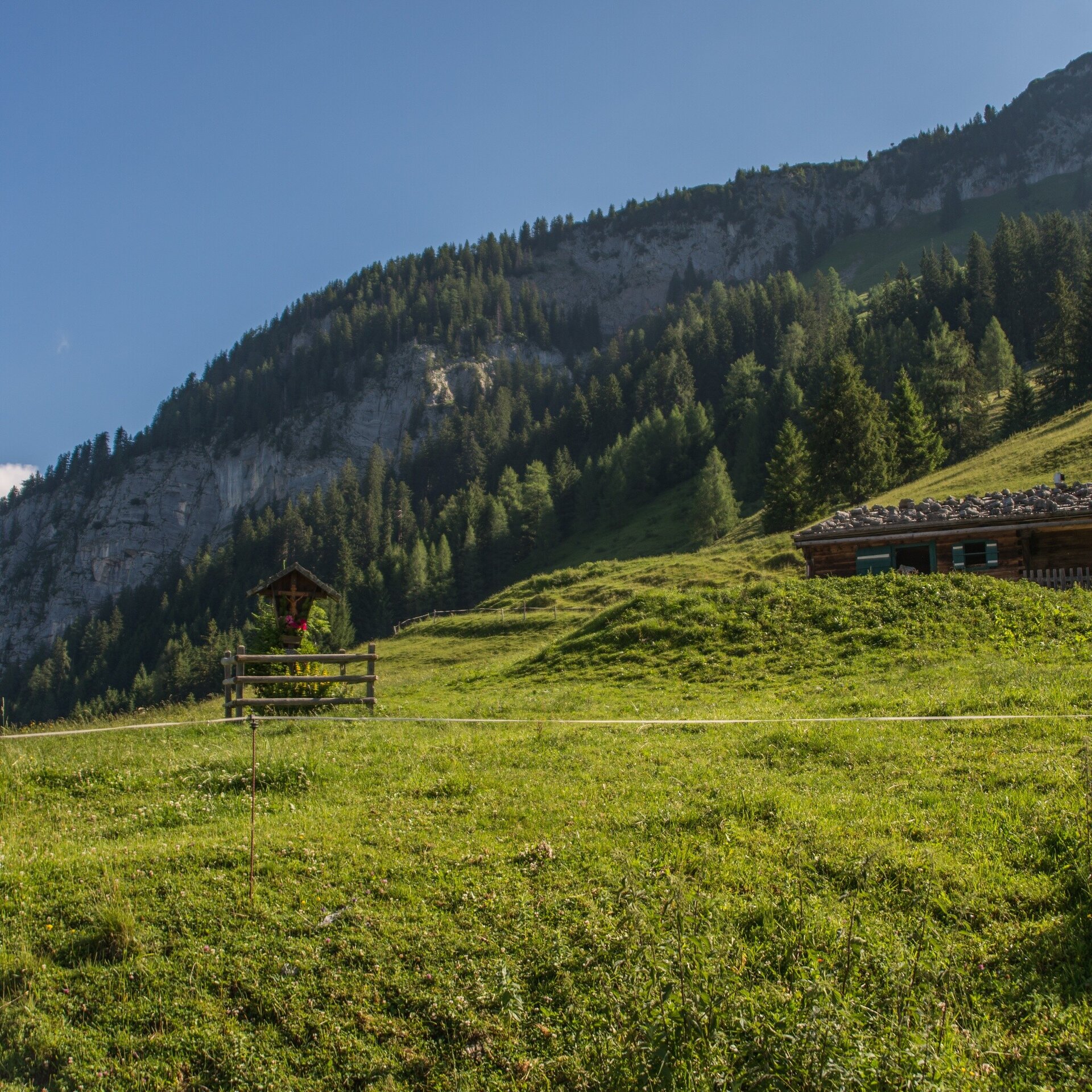
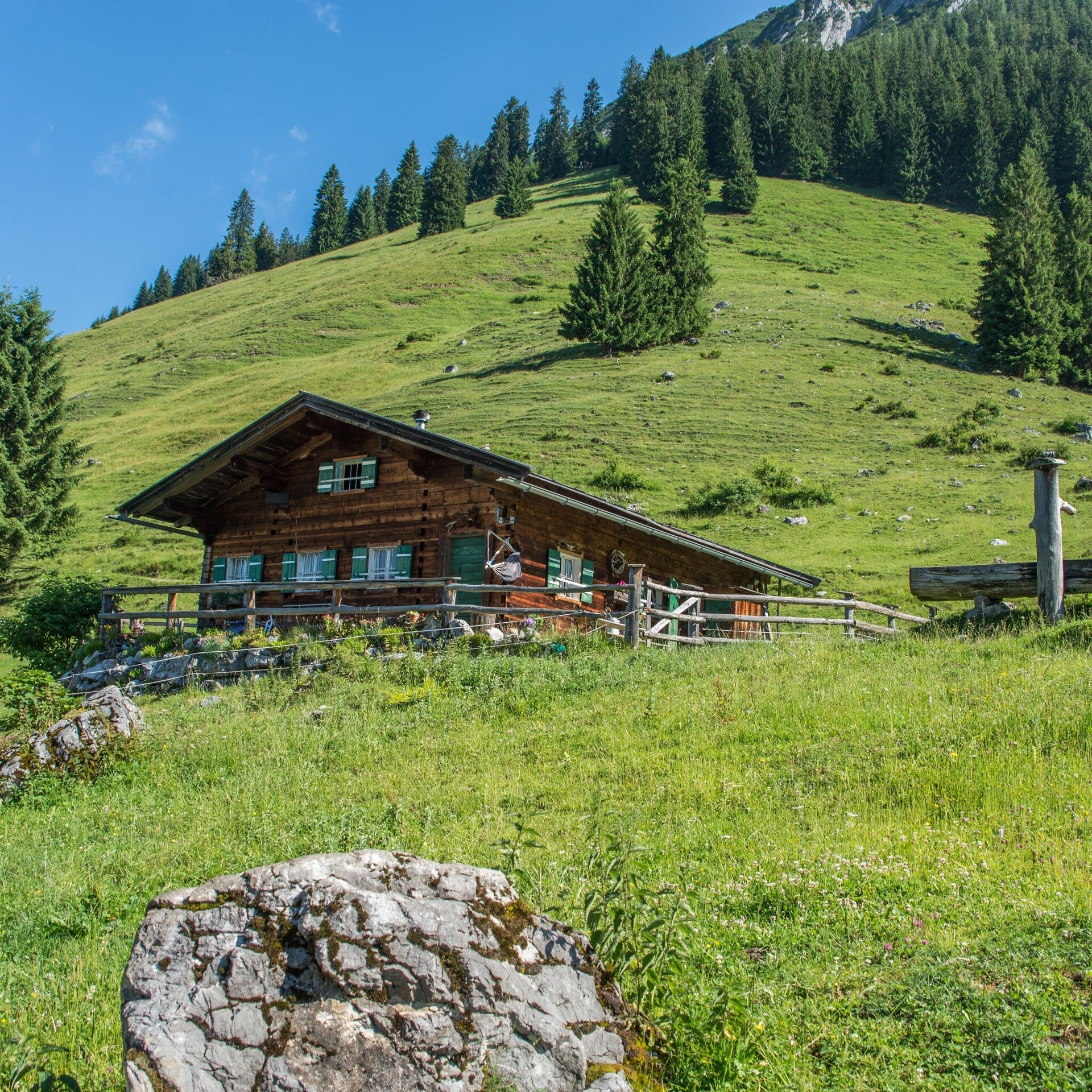
Circular route: To the Kammerlingalm (29). From there down to the Nordalpenweg (401) and via Falleck back to the starting point.
The circular route to the Kammerlingalm in the Salzburger Saalachtal offers a charming hike through the picturesque mountain landscape. Starting at the starting point, the route initially leads at a leisurely pace to the Kammerlingalm. The hike runs along well-maintained paths, surrounded by the impressive nature of the Alps. During the ascent to the Kammerlingalm, you can enjoy the fresh mountain air and have the opportunity to discover the diverse alpine flora and fauna.Kammerlingalm junction - Point - Kammerlingalm - Falleck - Reubel - Kammerlingalm junction
- Start
- Turnoff Kammerlingalm
- Goal
- Turnoff Kammerlingalm
Best Time of Year
Jän
Feb
Mär
Apr
Mai
Jun
Jul
Aug
Sep
Okt
Nov
Dez
Directions & Parking
Parking:
Access is possible from Weißbach bei Lofer via the L110 (Hirschbichlstraße) to the Waltlmühlsäge car park.
Waltlmühlsäge car park (subject to charge)
Public transport: Take the AlmErlebnisBus to the Kammerlingalm junction.
Coordinates:
WGS: 47.54981, 12.79652
GMS: 47° 32' 59.3" N, 12° 47' 47.5" E
Waltlmühlsäge car park (subject to charge)
Public transport: Take the AlmErlebnisBus to the Kammerlingalm junction.
Take bus 260 to the Weißbach municipal office stop. From here, continue with the AlmErlebnisBus.
Arrival & mobility in the region
Coordinates:
WGS: 47.54981, 12.79652
GMS: 47° 32' 59.3" N, 12° 47' 47.5" E
Equipment
Hiking equipment