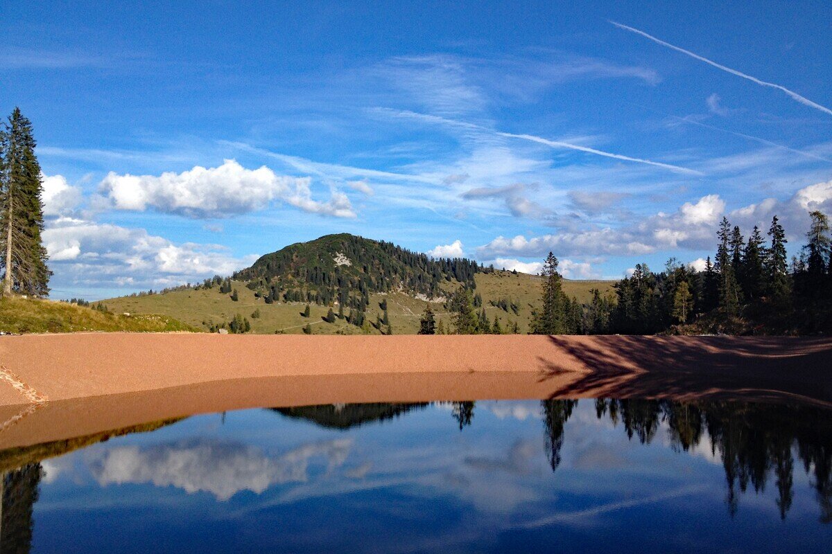
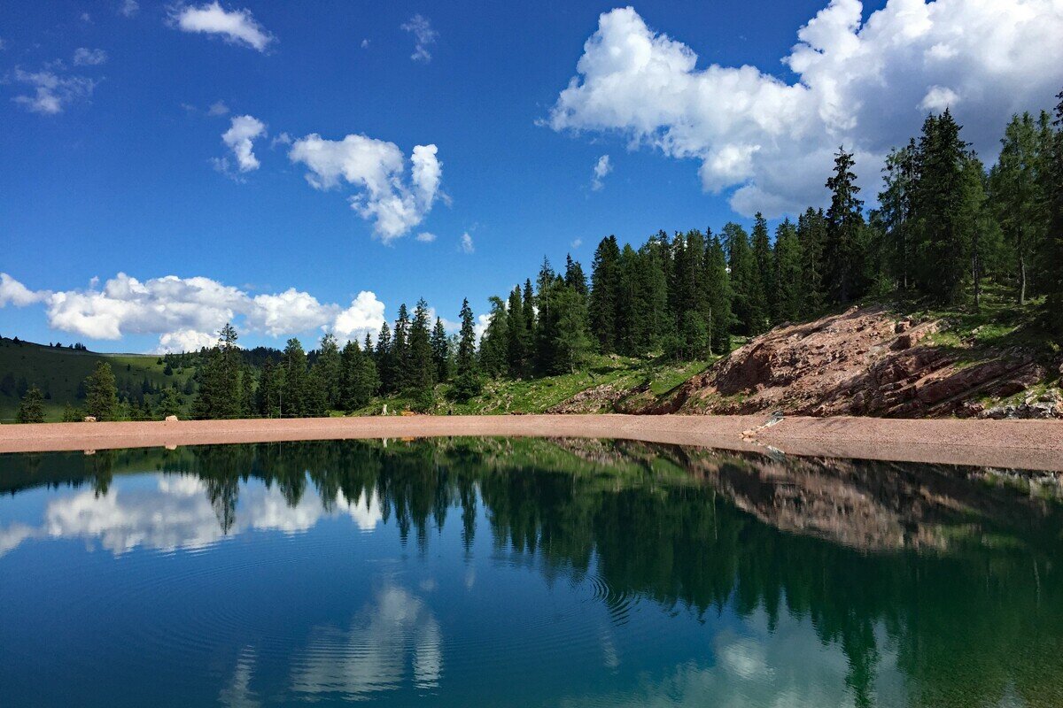
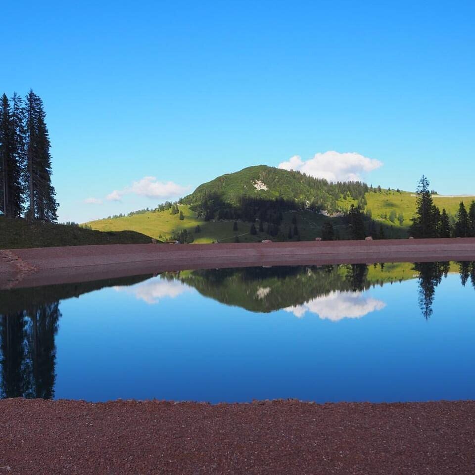
Hike in the Almenwelt Lofer to the Red Marble Lake (Roter Marmorsee).
Physical condition: Strength for ca. 90 minutes hiking uphill with an ascent of 200 m. Total hiking time ca. 2.5 hours.In brief: The ascent from the mountain station of the Almbahn II to the Marble Lake follows a beautiful hiking path through the alm landscape of the Almenwelt Lofer. The way back follows the alm road past many alm huts. Refreshments available at Haus Schönblick and the Restaurant Soderkaser near the mountain station.
Tour highlights: Find the fairytale pictures in the “Fairytale Forest” on the way uphill. Further highlights are the Red Marble Lake as the top sight at the halfway point and the alm playground at the mountain station.
The tour is part of “Hiking with Kids” in the Salzburger Saalachtal. The duration and difficulty are suitable for children/families.
Circular hiking path nr. 4 in the Almenwelt Lofer.
From the mountain station of the Almbahn II past Soderkaser and the alm playground. Left after the playground and then turn right again straight away on to the hiking trail in the direction of Grubhörndl/Schönbichl. You reach your hiking destination through the Fairytale Forest: the Red Marble Lake with a surface area of ca. 1700m². Past the "Sender" on Schönbühel and via the alm road back to the starting point.
- Start
- Almenwelt Lofer - Almbahn II mountain station
- Goal
- Almenwelt Lofer - Almbahn II mountain station
Directions & Parking
By car via the B 311 or B 178 to the roundabout in the centre of Lofer. From here continue further in the direction of Salzburg. After ca. 500 metres either turn off to the large car park or into the village of Lofer. Here you will find limited parking spaces at the valley station of the Almbahn I.
Parking: Car park at the valley station of the Almenwelt Lofer or the large car park at the Tourist Office (free of charge).
Public transport: Public transport
With the bus 260 (Zell am See - Salzburg) or 4012 (Kitzbühel - Lofer) to the bus stop "Lofer Hauptschule/Touismusverband". From here, ca. 5 minutes on foot to the valley station of the Almenwelt Lofer. Ride up to the start of the tour with the Almbahn I and Almbahn II.
Coordinates:
WGS: 47.6081, 12.65413
GMS: 47° 36' 29.2" N, 12° 39' 14.9" E