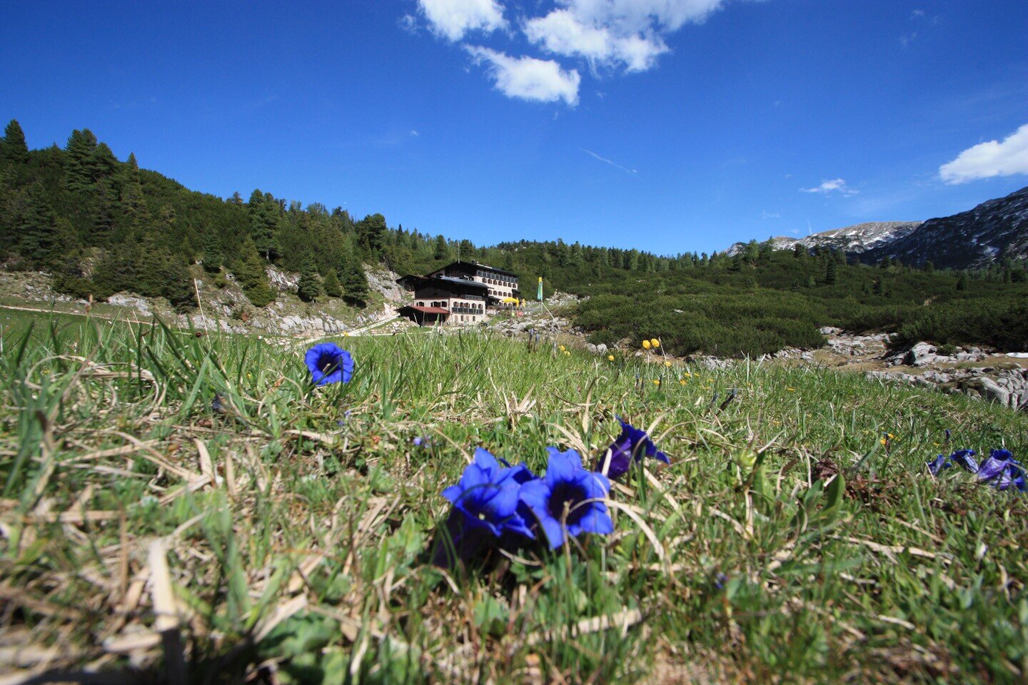
The Reither Alpe, which can only be reached on foot, lies in a flat valley basin between 1,500 and 1,600 metres above sea level. It is the starting point for all peaks in the Reither Steinberge.
The old Traunsteiner Hütte is located together with 14 alpine huts on Austrian territory. The Neue Traunsteiner Hütte is located on German territory. In addition to the diverse mountain flora, the extensive mountain pine fields and the beautiful stand of stone pines are particularly worth seeing.From Reith, follow the marked forest path along the Donnersbach stream until you reach a cattle track (Alpasteig) that leads up to the Alpaalm. Here you ascend over terrain interspersed with mountain pines to the edge of the plateau. Finally, follow the red-marked trail across alpine meadows to the Neue Traunsteiner Hütte
- Start
- Reith
- Goal
- Traunsteiner hut
Best Time of Year
Jän
Feb
Mär
Apr
Mai
Jun
Jul
Aug
Sep
Okt
Nov
Dez
Directions & Parking
Parking:
From Salzburg or Zell am See to Reith
Car park directly after the Reither bridge, free parking, limited capacity
Public transport: Take the Postbus 260 to Lofer Reith
Coordinates:
WGS: 47.62675, 12.72257
GMS: 47° 37' 36.3" N, 12° 43' 21.3" E
Car park directly after the Reither bridge, free parking, limited capacity
Public transport: Take the Postbus 260 to Lofer Reith
Coordinates:
WGS: 47.62675, 12.72257
GMS: 47° 37' 36.3" N, 12° 43' 21.3" E
Equipment
Hiking equipment and sturdy shoes