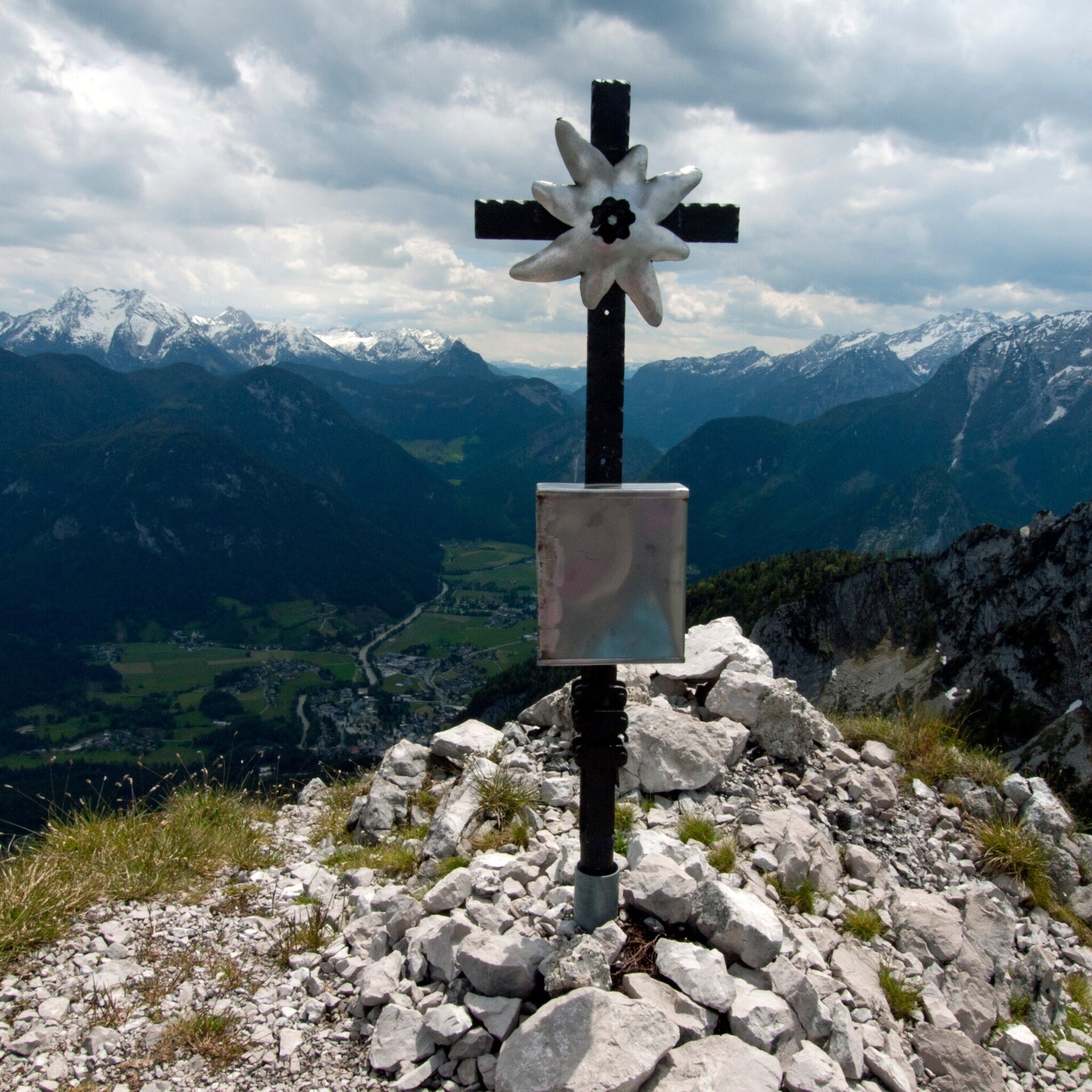
The Gföllhörndl offers a first-class panoramic view over the Salzburger Saalachtal and the surrounding mountain peaks.
The hike to the Gföllhörndl is a moderately difficult route in the Salzburger Saalachtal, which offers hikers an impressive panoramic view of the surrounding mountain landscape. It is recommended that you bring enough water and food for the journey. The Gföllhörndl hike offers an excellent opportunity to enjoy the tranquillity and beauty of alpine nature.From the Loderbichl middle station, the trail leads you past the toll booth onto hiking trail no. 50/201a. After a few minutes, you will cross the road and the ski piste. Following trail no. 7a/201a, the path continues along the Postalm in the direction of the Bräugföllalm. Once at the alpine pasture, you will reach the second signpost after a short walk and follow this in the direction of Gföllhörndl (no. 3).
- Start
- Loderbichl
- Goal
- Gföllhörndl
Best Time of Year
Jän
Feb
Mär
Apr
Mai
Jun
Jul
Aug
Sep
Okt
Nov
Dez
Directions & Parking
Parking:
By car via the B178 or B311 to Lofer.
Parking is available directly at the Almbahn cable car and at the Salzburger Saalachtal tourist office.
Public transport: Take bus 260 or bus 4012 to the Lofer tourist office. From there it's a five-minute walk to the Almenwelt Lofer valley station.
Coordinates:
WGS: 47.60404, 12.68343
GMS: 47° 36' 14.5" N, 12° 41' 0.3" E
Parking is available directly at the Almbahn cable car and at the Salzburger Saalachtal tourist office.
Public transport: Take bus 260 or bus 4012 to the Lofer tourist office. From there it's a five-minute walk to the Almenwelt Lofer valley station.
Coordinates:
WGS: 47.60404, 12.68343
GMS: 47° 36' 14.5" N, 12° 41' 0.3" E
Equipment
A via ferrata set for protection is recommended.