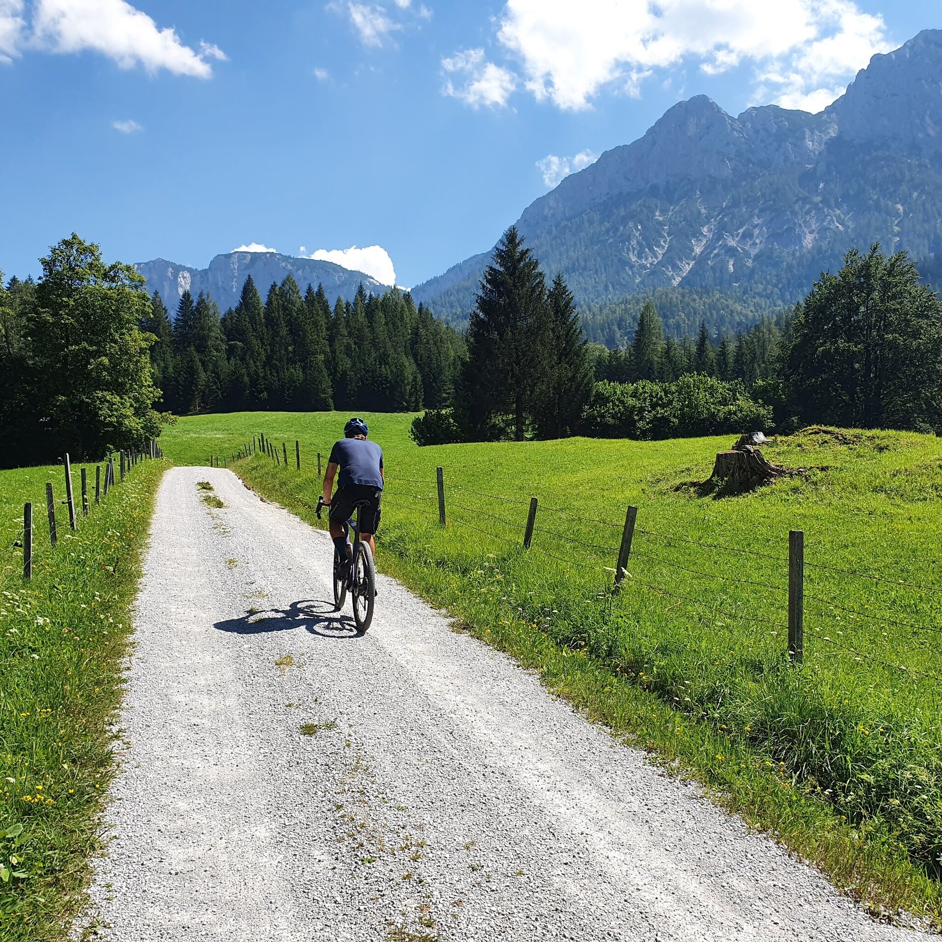
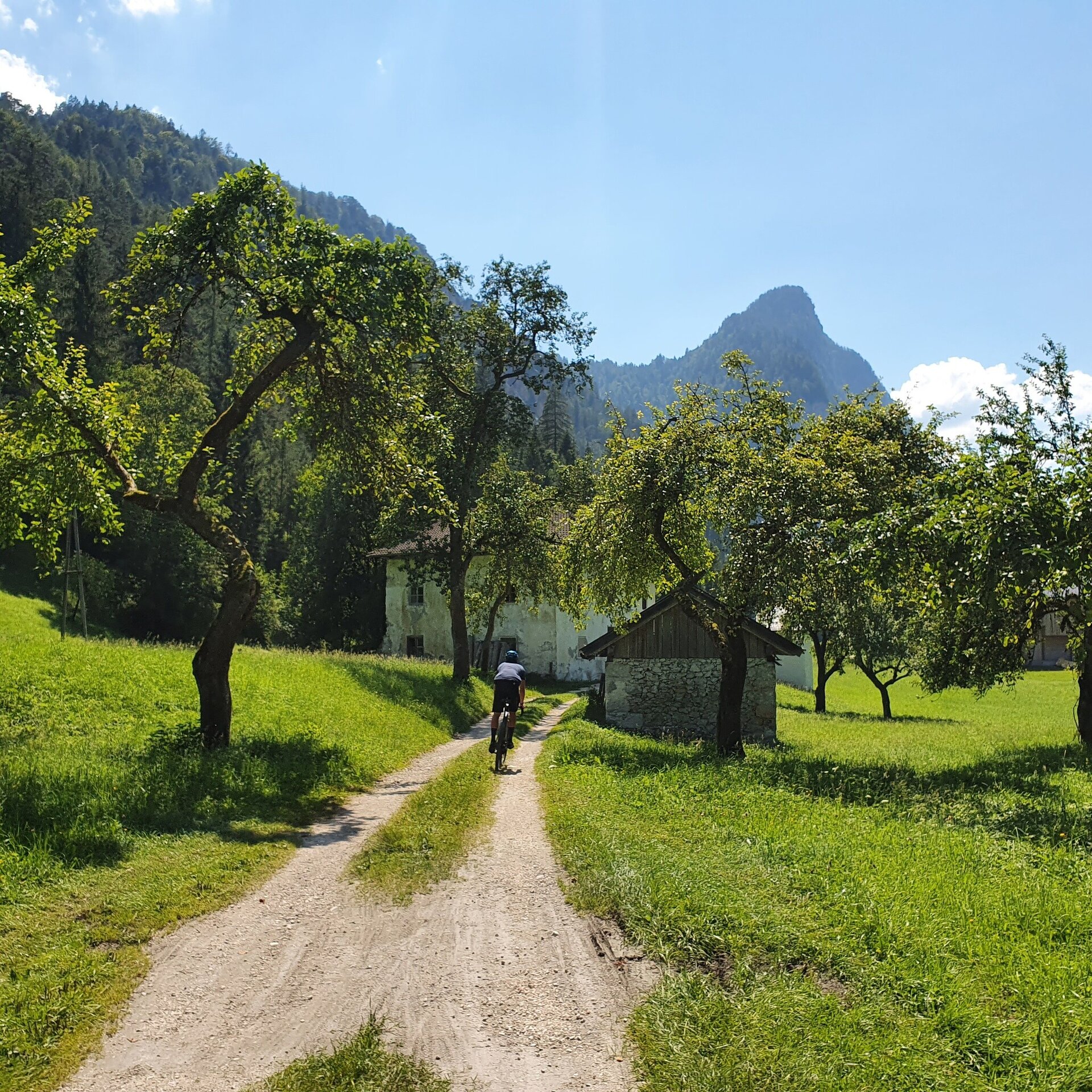
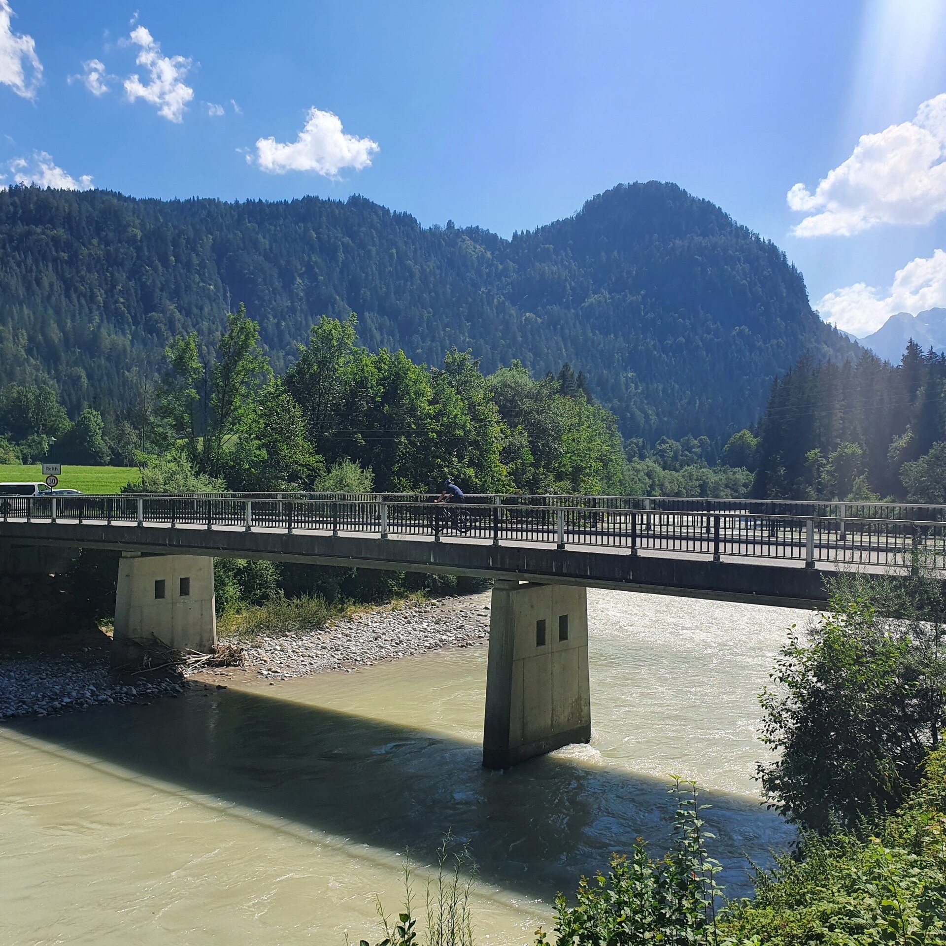
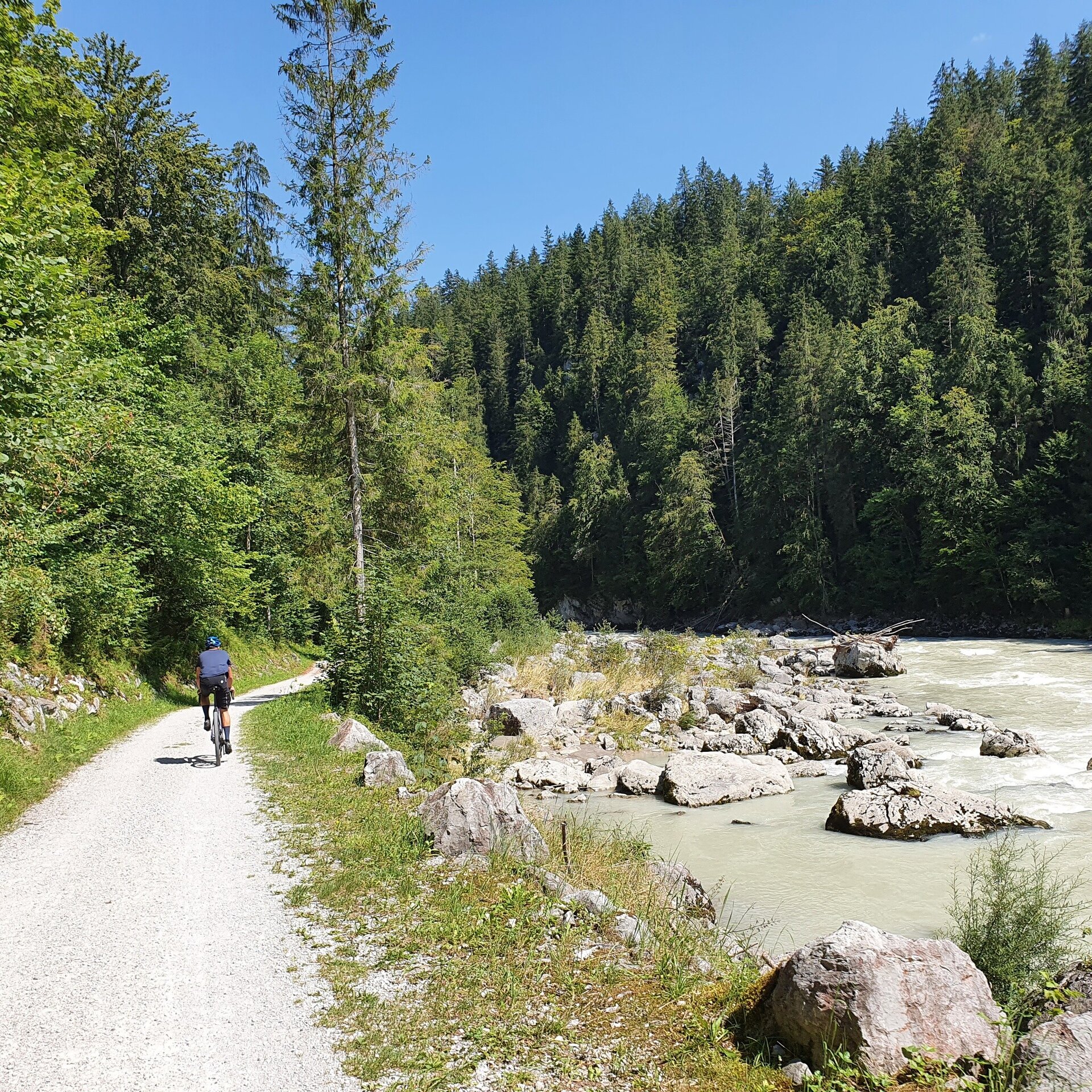
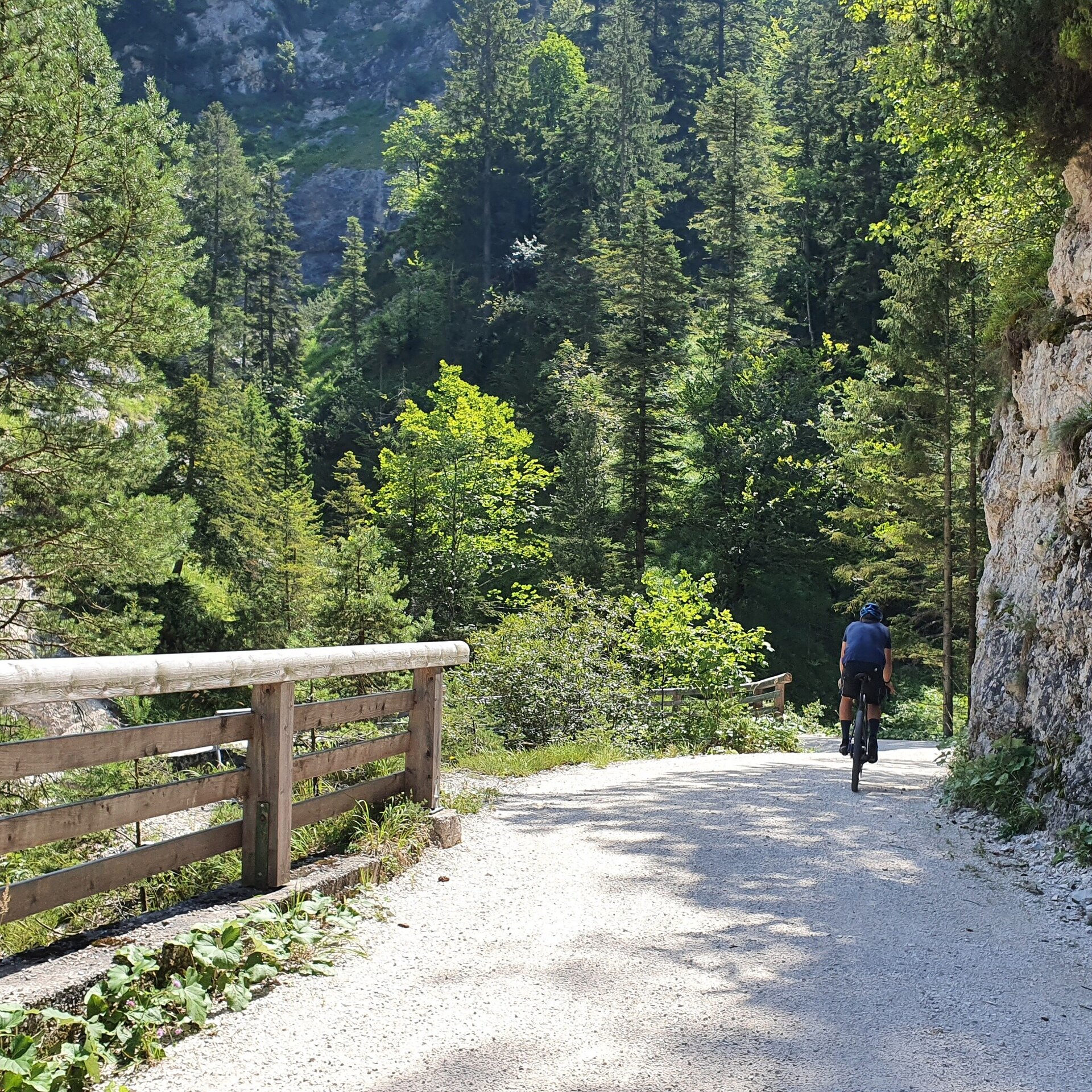
Gravel bike tour from Lofer via Reith and the Aschauersattel to Schneizlreuth - back largely along the Saalach and the Tauern cycle path to Lofer.
From Lofer, the tour starts out flat along the Saalach river to Reith. There the ascent begins to the Aschauer Sattel - the highest point of the tour. The descent from the Aschauer Sattel continues to Schneizlreuth - the lowest and northernmost point of the tour. Along the Tauern Cycle Path and mostly along the Saalach, the route returns via Unken and Reith to Lofer - the starting point.
Lofer - Auer Brücke - Reith - Aschauersattel - Schneizreuth - Unken - Reih - Auer Brücke - Lofer
- Start
- Lofer tourist information office
- Goal
- Lofer tourist information office
Best Time of Year
Jän
Feb
Mär
Apr
Mai
Jun
Jul
Aug
Sep
Okt
Nov
Dez
Directions & Parking
Parking:
Take the B311 or B178 to Lofer. At the roundabout approx. 300 metres in the direction of Salzburg - until you reach the large car park.
Large Lofer car park - next to tourist office/pharmacy
Public transport: Take bus 260 from Salzburg or Zell am See (FAHRPLAN) or bus 810 from Kitzbühel to the Lofer - Mittelschule/TVB stop.
Coordinates:
WGS: 47.58642, 12.69607
GMS: 47° 35' 11.1" N, 12° 41' 45.9" E
Large Lofer car park - next to tourist office/pharmacy
Public transport: Take bus 260 from Salzburg or Zell am See (FAHRPLAN) or bus 810 from Kitzbühel to the Lofer - Mittelschule/TVB stop.
Coordinates:
WGS: 47.58642, 12.69607
GMS: 47° 35' 11.1" N, 12° 41' 45.9" E
Equipment
Gravel bike equipment