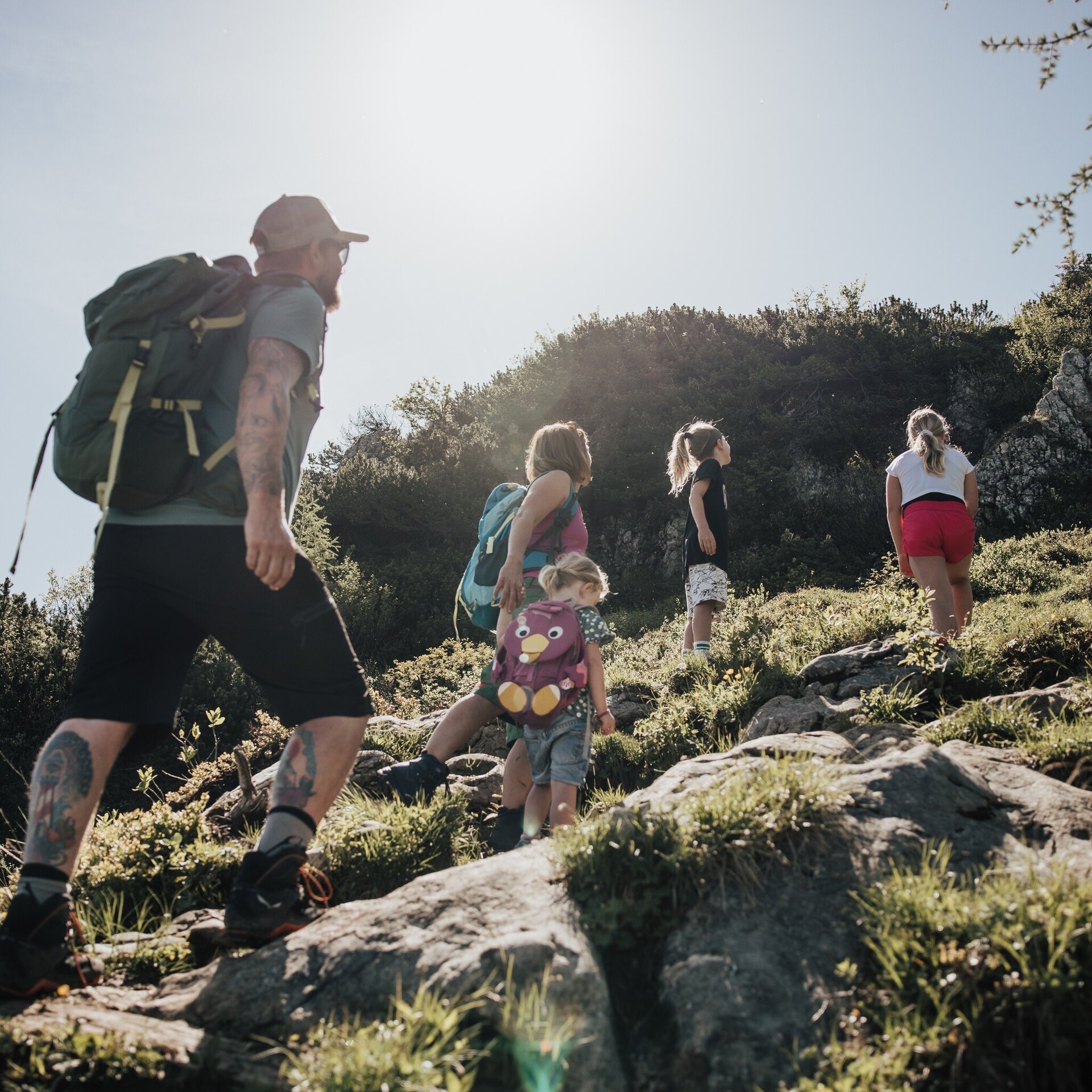
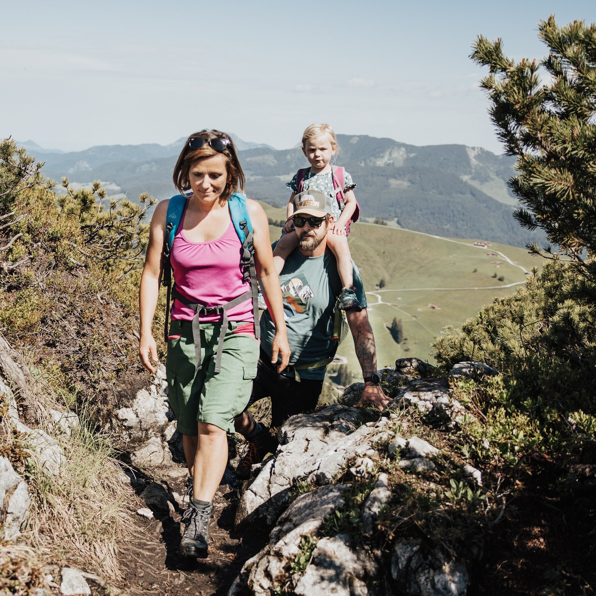
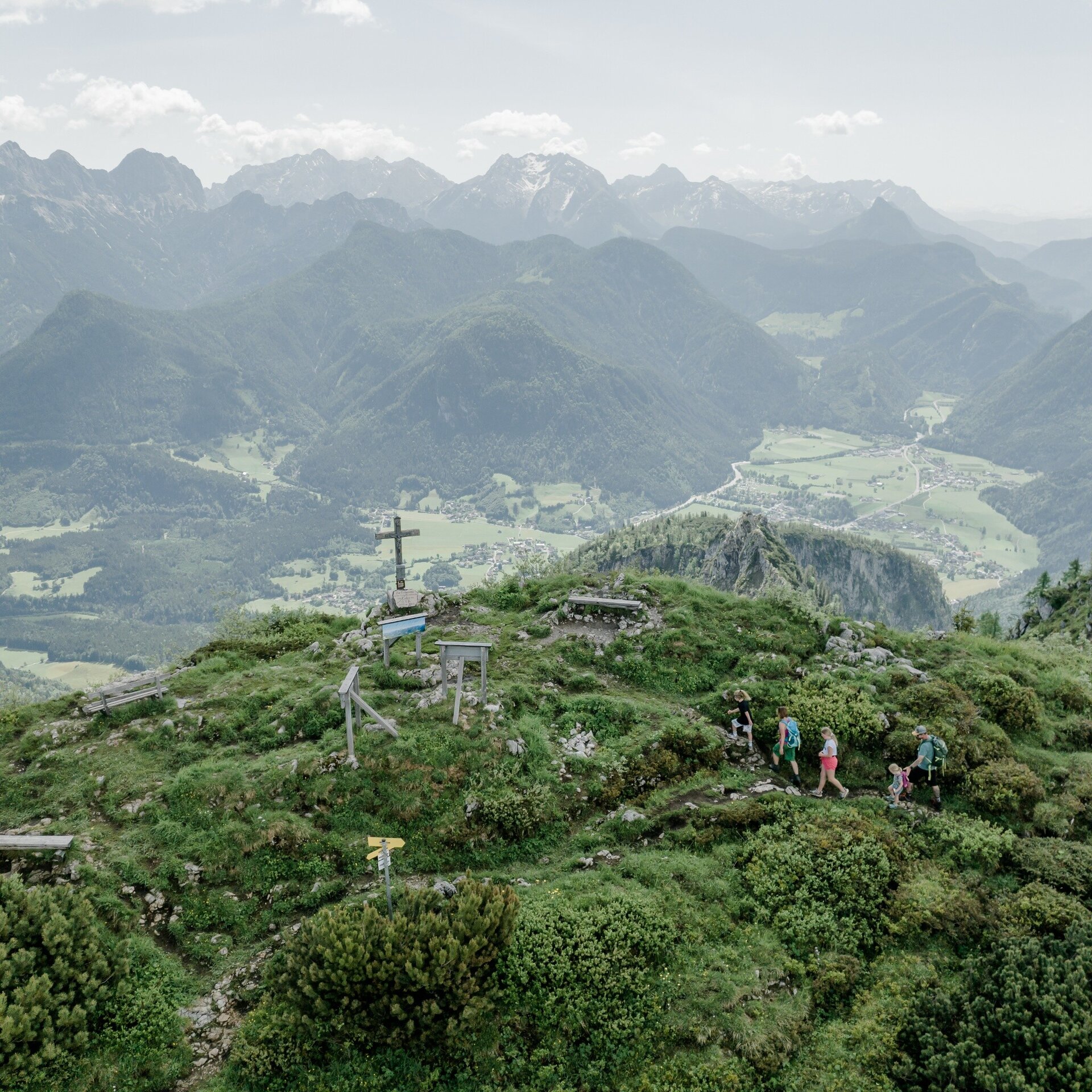
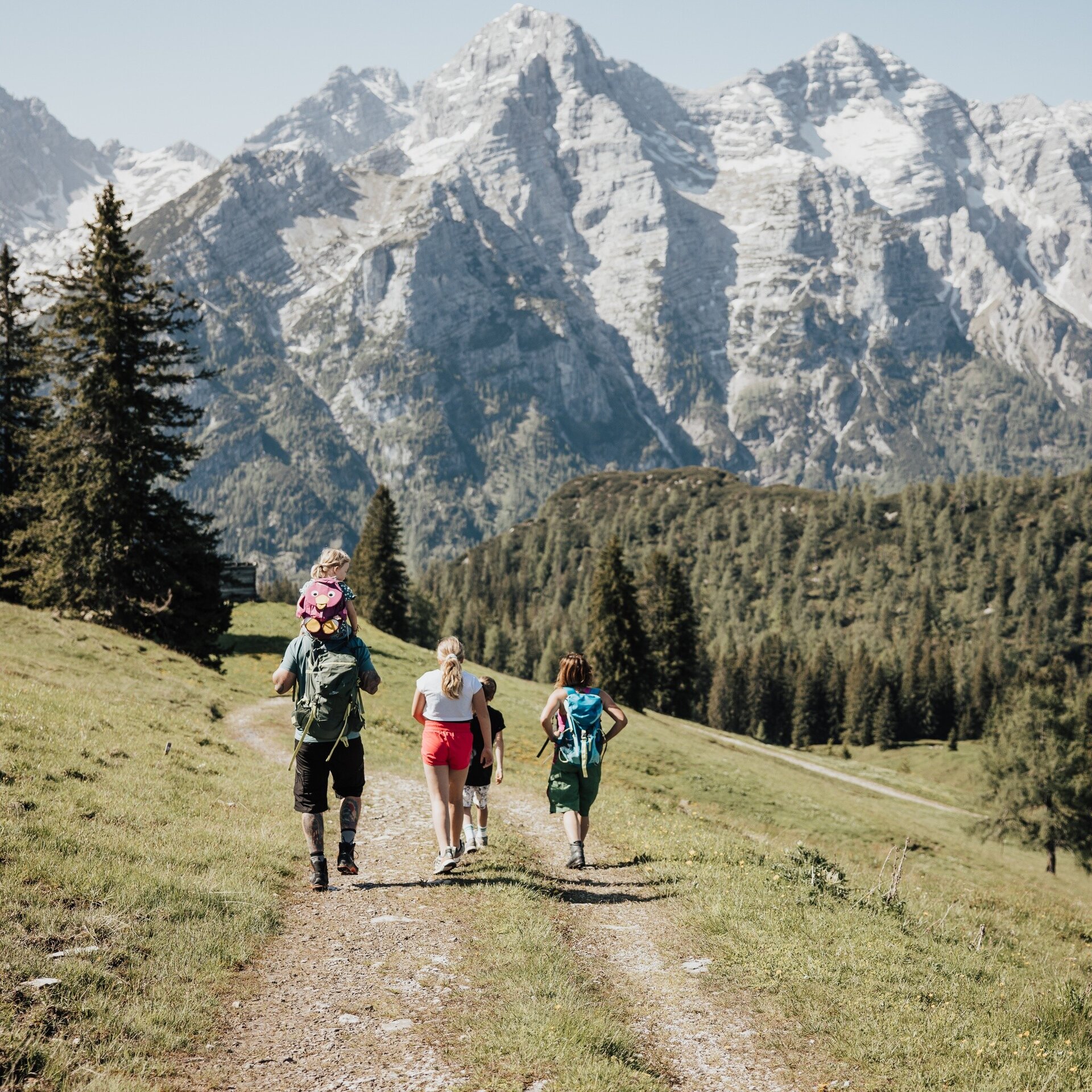
From the mountain station of the Almbahn II via the Almenwelt Lofer up to the Grubhörndl.
Physical condition: Strength for ca. 1.5 hours hiking uphill with a height difference of 300 metres. Total hiking time ca. 3.5 hours.
In brief: The tour runs mainly on a hiking trail through the Almenwelt Lofer. In the last section of the ascent there are a few shorter passages to overcome where sure-footedness is needed and possibly the use of hands to scramble. The path is not exposed at any point, nor is there a danger of falling. The way back also follows hiking paths or forest roads but is much more relaxed over a mountain ridge. Refreshments are available at the Alpengasthof Schönblick or the Restaurant Soderkaser at the end of the tour near the cable-car station.
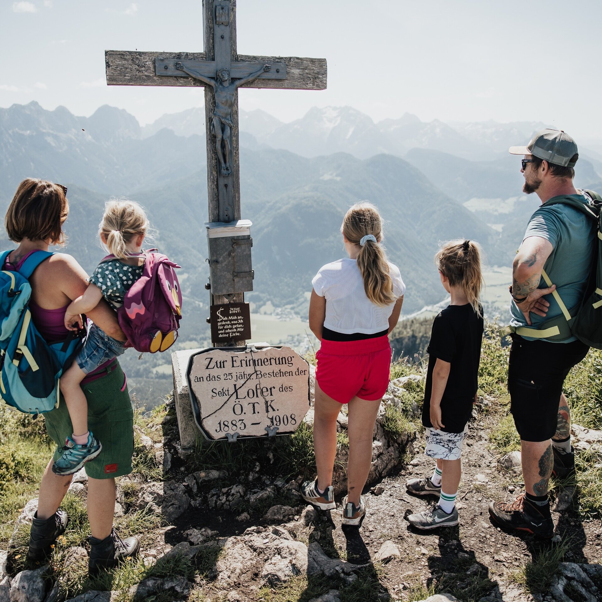
Tour highlights: The Almenwelt Lofer with its rustic alm huts and countless cows.... and of course the summit experience on Grubhörndl. Don't forget a summit photo and an entry in the summit book ;) There is also a large playground located near the mountain station of the Almbahn II.
The tour is part of “Hiking with Kids” in the Salzburger Saalachtal. The duration and difficulty are suitable for children/families.
Pass the Restaurant Soderkaser and the Stegerkaser for a short stretch downhill before turning right after about 100 metres and follow the path nr. 201A to Grubhörndl. The tour is mainly on well-maintained hiking paths. In the last section of the ascent there are a couple of places where scrambling is needed. After a rest on the summit of Grubhörndl at 1747 metres, take route 01 in the upper section until you reach the forest road. Follow the forest road, past Haus Schönblick and further on to Soderkaser and the mountain station of the Almbahn II – the start and destination of the tour.
- Start
- Almenwelt Lofer - mountain station Almbahn II
- Goal
- Almenwelt Lofer - mountain station Almbahn II
Directions & Parking
Free parking spaces at the valley station of the Almbahn I or in the large car park at the Tourist Office.
Public transport: Take bus 260 or 4012 to the bus stop "Lofer Mittelschule - Tourismusverband".
After a 5-minute walk you will reach the gondola lift to Almenwelt Lofer. Take the Almbahn I and II cable cars to the top. The start of the tour is at the Almbahn II mountain station.
Coordinates:
WGS: 47.6075, 12.65353
GMS: 47° 36' 27.0" N, 12° 39' 12.7" E
Equipment