A scenic and challenging hike from Lofer in Salzburger Saalachtal Valley to the Schmidt-Zabierow Hut in the Loferer Steinberge mountains.
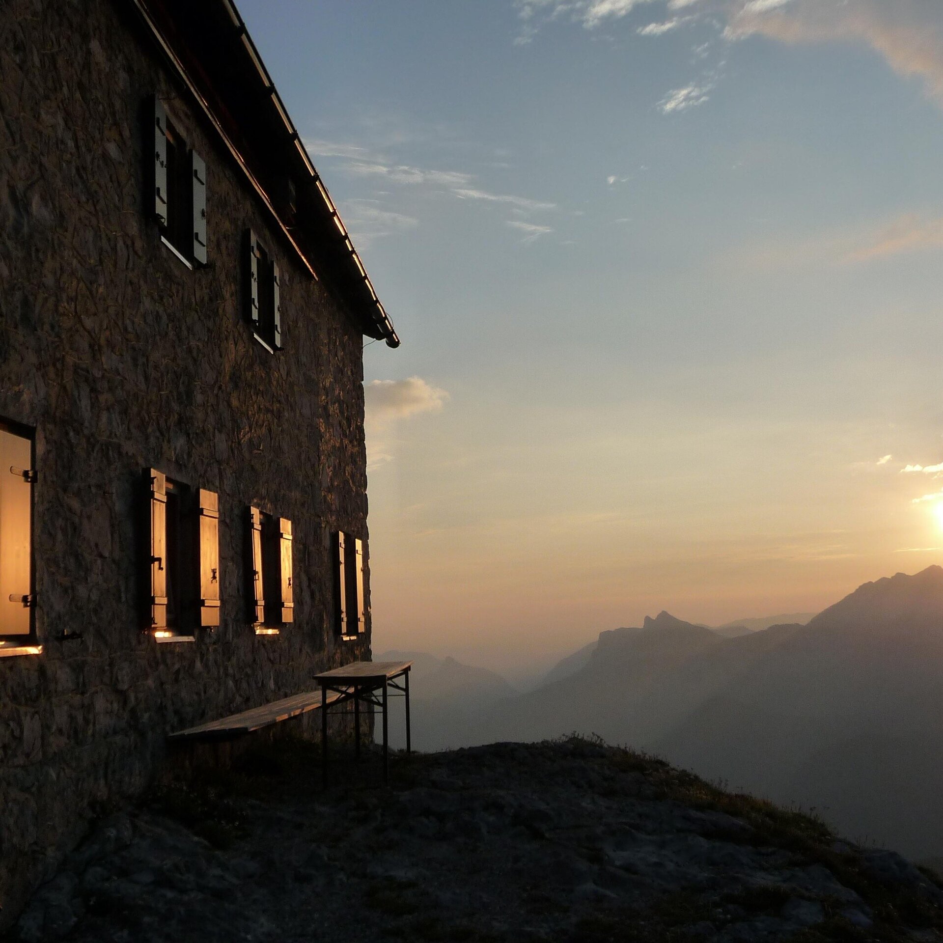
From the Loferer Hochtal valley at the foot of the Steinberge mountains, follow a well-marked mountain trail in serpentines first through forest and later over mountain meadows and scree to the Alpine Club refuge. The steep ascent is rewarded with magnificent views of the Lofer valley basin.You start your ascent at around 800 m above sea level from the car park of the Loferer Hochtal in the Salzburger Saalachtal Valley. From here, take trail no. 601 into the beech forest. Climb steeply up to about 1400m and you will pass the last parts of the former Steinbergalm, which you pass and continue to climb up towards the hut. The path now becomes stonier and leads through the karst region in serpentines until a few hundred metres before the hut, which has long been visible perched on the rocky outcrop of the Gamskopf. From here you have two different options to reach your destination. Both options are very well signposted and about the same length.
The way back is via the same path.
- Start
- Loferer Hochtal
- Goal
- Loferer Hochtal
Best Time of Year
Jän
Feb
Mär
Apr
Mai
Jun
Jul
Aug
Sep
Okt
Nov
Dez
Directions & Parking
Public transport:
Take the 4012 bus (timetable) from the centre of Lofer or from Waidring to the Lofer/Hochtal bus stop. From here it is a 30-minute walk to the start of the tour.
Coordinates:
WGS: 47.5637, 12.67217
GMS: 47° 33' 49.3" N, 12° 40' 19.8" E
Coordinates:
WGS: 47.5637, 12.67217
GMS: 47° 33' 49.3" N, 12° 40' 19.8" E