Beautiful hike from Lofer via Bairaupark, Au and the Mayrbergklamm gorge to the Mayrberg and on via the Auer Wiesn and Scheffsnoth back to the start.
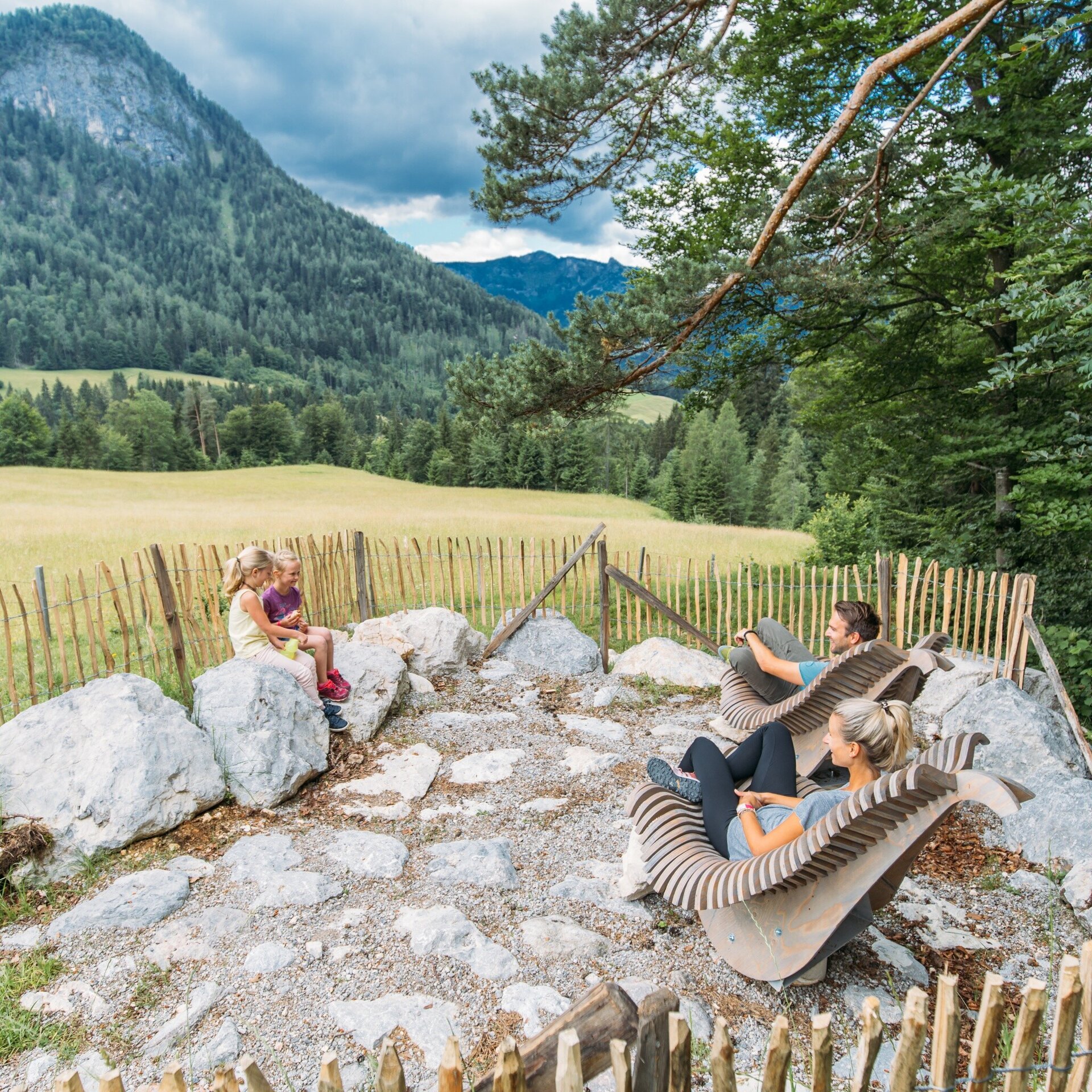
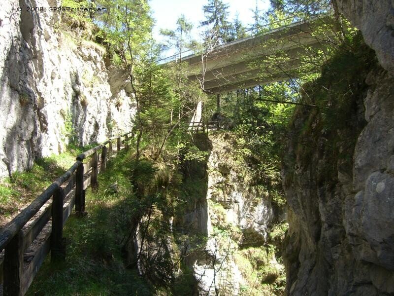
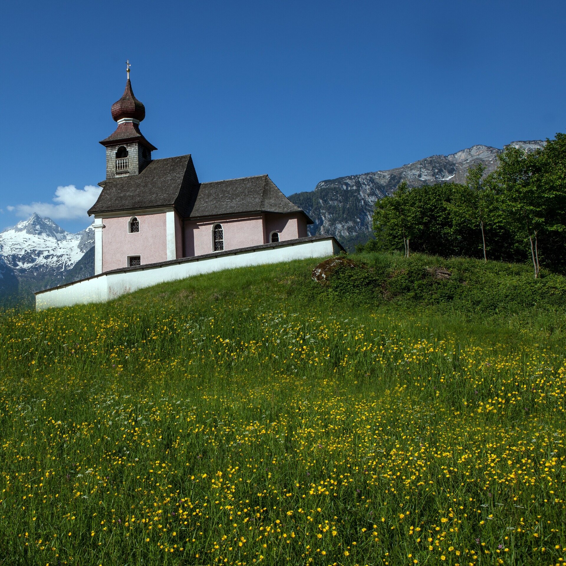
Approx. 4:30 hour hike from Lofer via the Bairaupark to Au and the Auer Kirchlein. The hike leads uphill via the Mayrbergklamm gorge to the former Obermayrberg inn (permanently closed). Shortly after the Obermayrberg, you can enjoy the great view of the Lofer alpine world at the top spot. The tour continues fairly flat to the Schoberweißachlause and the highest point of the hike, which is just under 1000 metres.From here, the route continues via the "Auer Wiesn" and the Hubertus Chapel to Scheffsnoth. Pass the Scheffsnoth fountain and the Hubertus footbridge and return to Lofer.Lofer - Teufelssteg - Bairau - Bairaupark - Gasthof Antonia - Auer Kirchlein - Mayrbergklamm - Pointalm - Gasthof Mayrberg - Logenplatz Mayrberg - Schoßerweißbachklause - Auer Wiesn - Hubertuskapelle - Scheffsnoth - Hubertussteg - Lofer
- Start
- Lofer tourist information office
- Goal
- Lofer tourist information office
Best Time of Year
Jän
Feb
Mär
Apr
Mai
Jun
Jul
Aug
Sep
Okt
Nov
Dez
Directions & Parking
Parking:
Take the B311 or B178 to Lofer. At the roundabout, continue in the direction of Salzburg. After about 300 metres you will reach the large car park at the tourist office.
Large car park - near Lofer Tourist Office (Lofer 310, 5090 Lofer)
Public transport: By bus 260 (timetable) or 4012 (timetable)
Coordinates:
WGS: 47.58589, 12.69697
GMS: 47° 35' 9.2" N, 12° 41' 49.1" E
Large car park - near Lofer Tourist Office (Lofer 310, 5090 Lofer)
Public transport: By bus 260 (timetable) or 4012 (timetable)
Coordinates:
WGS: 47.58589, 12.69697
GMS: 47° 35' 9.2" N, 12° 41' 49.1" E