Magnificent ascent in impressive terrain. Surefootedness and a head for heights required!
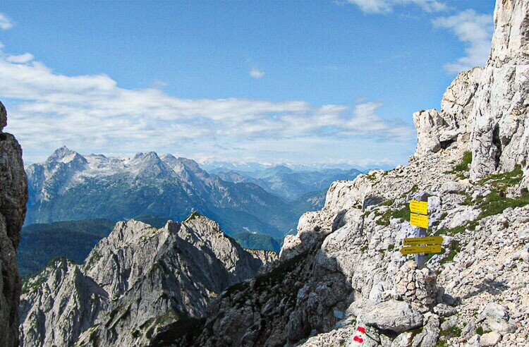
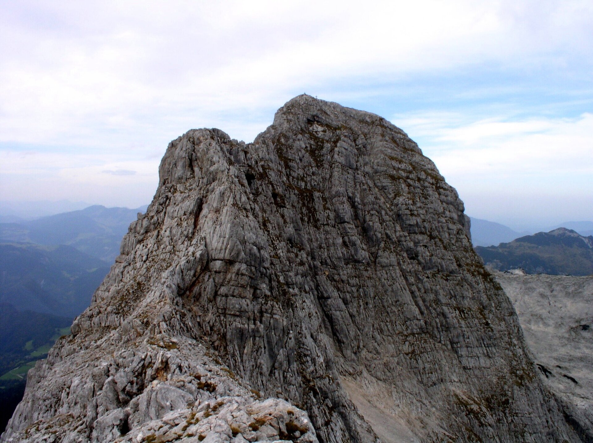
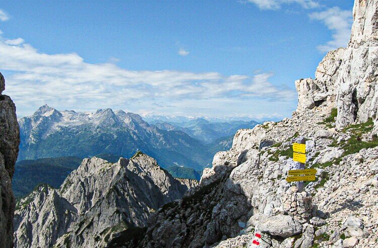
From Gasthof Obermayrberg, take the forest path past hunting lodges up to the Hochgscheidsattel, where you meet the Schaflsteig trail. Great views of peaks like the Stadelhorn. Finally, descend to the alpine meadows of the Reitertrett to the Neue Traunsteiner Hütte.From Gasthof Obermayrberg (895 m), first take the red-marked forest trail (trail no. 473) slightly uphill to the Daxstein hunting lodge. From there, a red-marked trail (Loferersteig / trail no. 473) leads up in hairpin bends to the Hochgscheid hunting lodge (1,386 m). Continue up the relatively steep Loferersteig trail to the Hochgscheidsattel (1,750 m), where you have a magnificent distant view to the south. Here you meet the Schaflsteig trail, which you follow from now on. On the other side of the saddle, the traverse under the Stadelhorn west face awaits you and you ascend via an insured steep ascent (via ferrata A/B) to the Mayrbergscharte (2,055 m) between the Wagendrischelhorn (2,252 m) and the Stadelhorn (2,286 m). Beyond the saddle, the trail continues to the upper and lower Plattelkopf (approx. 2,100 m) before descending through the Steinberggasse (trail no. 472) to the alpine meadows of the Reitertrett. Finally, you hike almost level across the alpine meadows, pass the Alte Traunsteiner Hütte (1,579 m) until you finally reach the Neue Traunsteiner Hütte (1,560 m).
- Start
- Obermayrberg
- Goal
- Traunsteiner hut
Best Time of Year
Jän
Feb
Mär
Apr
Mai
Jun
Jul
Aug
Sep
Okt
Nov
Dez
Directions & Parking
Public transport:
By train from Munich to Bad Reichenhall. From there, continue by bus (line 260) to the "Lofer Reit" or "Lofer Antonikapelle" bus stop - from there it is a 5 km walk to Obermayrberg.
Coordinates:
WGS: 47.60713, 12.74455
GMS: 47° 36' 25.7" N, 12° 44' 40.4" E
From Berchtesgaden by train or bus (line 841) to Bad Reichenhall. From there continue by bus (line 260) to the bus stop "Lofer Reit" or "Lofer Antonikapelle" - from there it is about 5 km on foot to the Obermayrberg.
From Zell am See by bus (line 260) in the direction of Salzburg to the bus stop "Lofer Reith" or "Lofer Antonikapelle".
Coordinates:
WGS: 47.60713, 12.74455
GMS: 47° 36' 25.7" N, 12° 44' 40.4" E
Equipment
Via ferrata set, climbing helmet, climbing harness, via ferrata gloves, rucksack, mountain boots, weatherproof clothing, sun protection (sunglasses, sun cream, cap), food and water, orientation aids (maps, compass or GPS device).