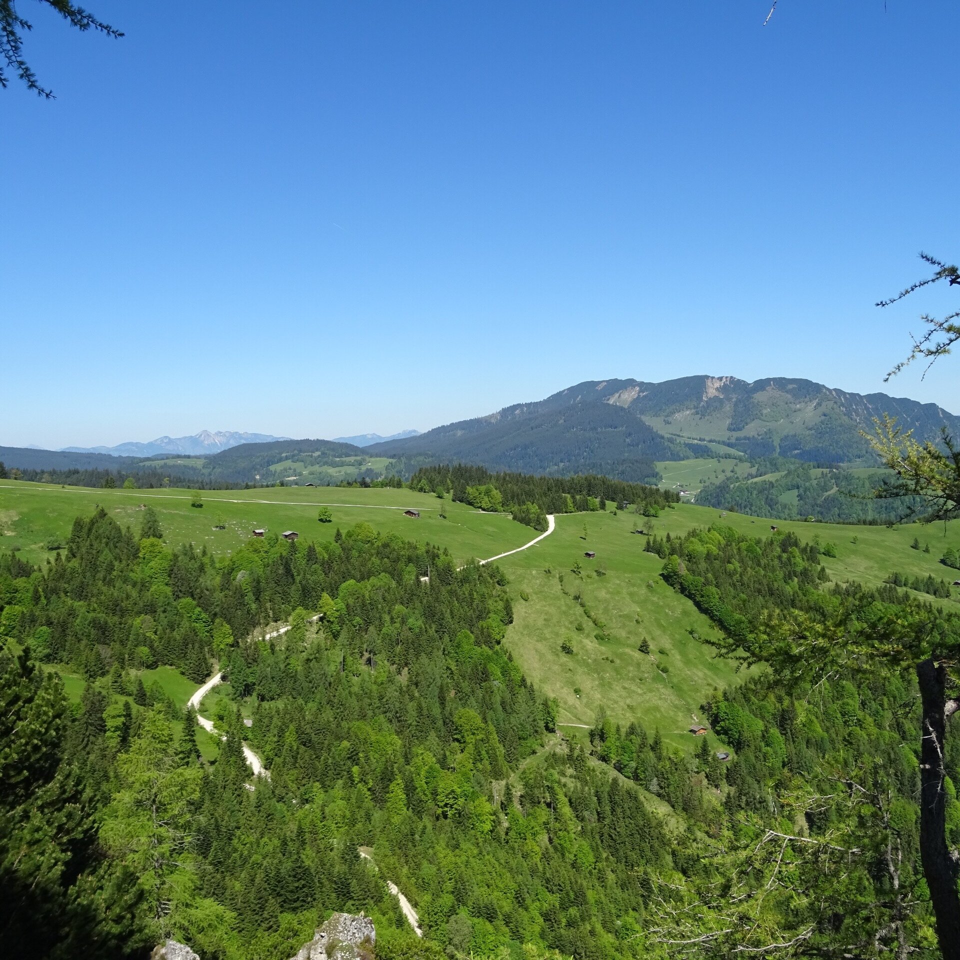
Beautiful circular hike on the traces of former alpine life. From Unkenberg via the Thälernalm, the Thälernkogel - past the Astenalm and the Hornwiesalm - possibly with an ascent of the Dietrichshorn - via the Hoisenhöhe and the Unkenberger Mähder back to the car park.
From the car park (Dietrichshorn forest road no. 6) on the Unkenberg, the hike first leads along the forest road through beautiful woodland to the Thälernalm turn-off. We follow the somewhat steeper alpine path to the alpine saddle. Here we keep to the left and come to the Thälernkogel with its new alpine cross. From here we have a wonderful view over the whole valley basin. Across the Thälernalm, the hiking trail now leads us below the Dietrichshorn to the Astennalm and the Hornwiesalm. If you feel like it, you can climb up to the Dietrichshorn here. Otherwise, the trail continues to Hoisenhöhe, another magnificent vantage point. Now we descend again, along the alpine path, back to the car park.Dietrichshorn car park forest road (barrier) - Thälernalm - Thälernkogel - Thälernalm - Astenalm - Hornwiesalm - possibly Dietrichshorn - Hoisenhöhe - Unkenberger Mähder - Dietrichshorn car park.
- Start
- Unken - Unkenberg car park
- Goal
- Unken - Unkenberg car park
Best Time of Year
Jän
Feb
Mär
Apr
Mai
Jun
Jul
Aug
Sep
Okt
Nov
Dez
Directions & Parking
Parking:
From Unken via the Heutal Landesstraße (L251) to the Unkenberg turn-off. From here, follow the road to the last farm. 200 metres later you will find the car park.
Unkenberg car park - free of charge
Public transport: With the bus 260 to Unken (timetable)
Coordinates:
WGS: 47.6337, 12.69186
GMS: 47° 38' 1.3" N, 12° 41' 30.7" E
Unkenberg car park - free of charge
Public transport: With the bus 260 to Unken (timetable)
Coordinates:
WGS: 47.6337, 12.69186
GMS: 47° 38' 1.3" N, 12° 41' 30.7" E