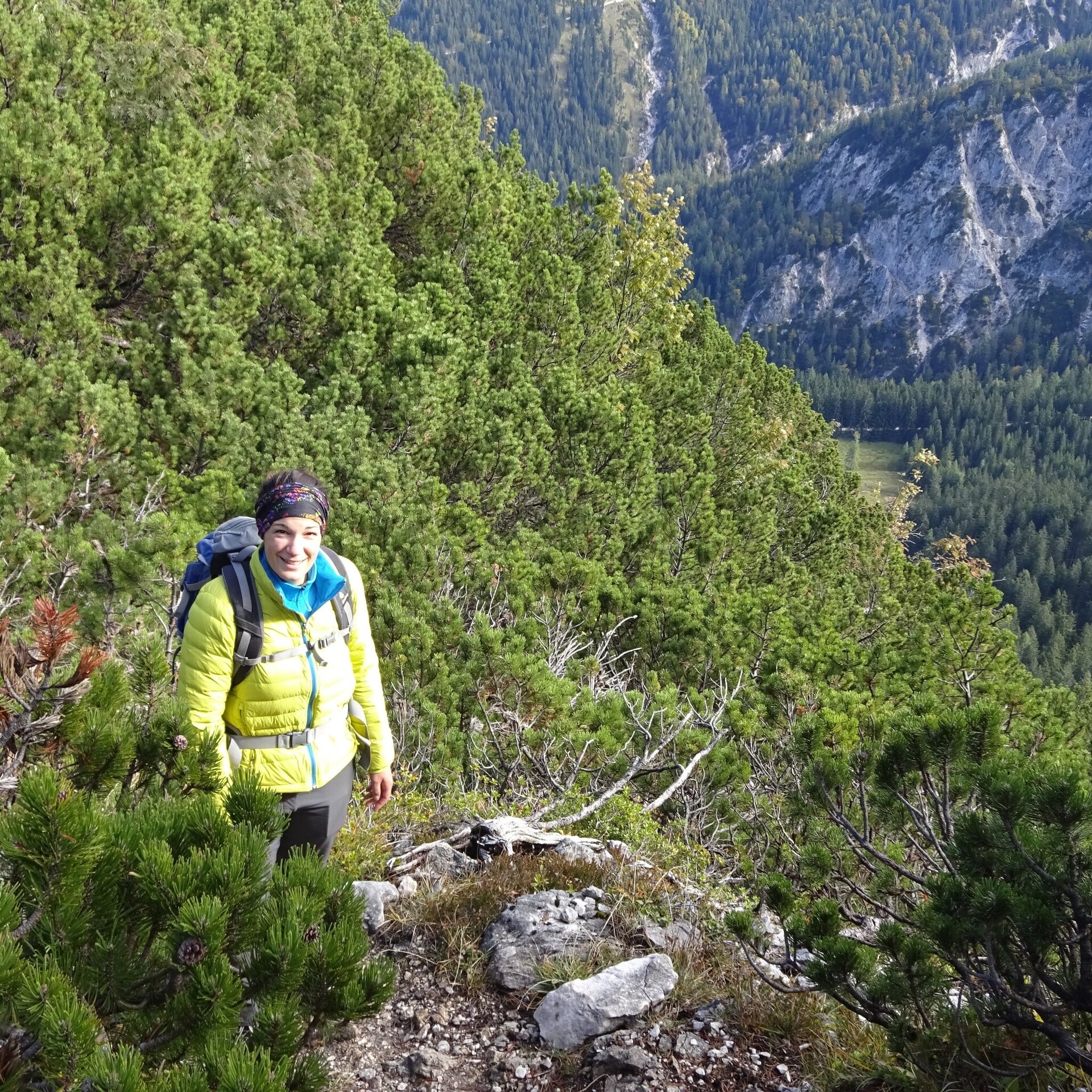
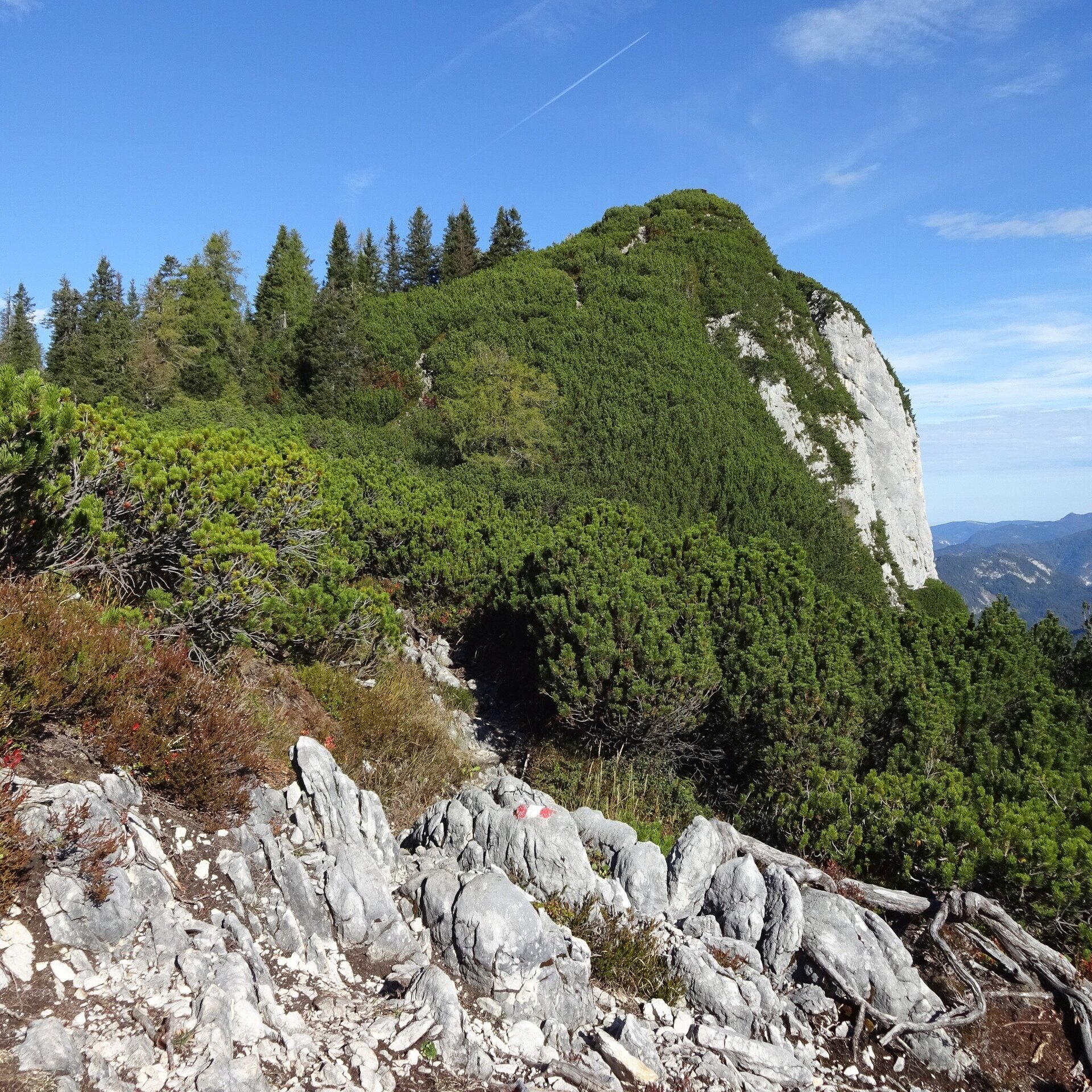
Summit tour from the St. Martiner Hirschbichl via the Hundalm to the Großes Hundshorn.
Physical condition: Strength for ca. 2.5 hours uphill with 700 metres height difference. Total hiking time ca. 4.5 hours
In brief: The tour is on a forest road over the first part to the Hundalm. From the Hundalm over the Hundsattel, a hiking path leads to the summit. The last section of the trail is somewhat exposed and hikers, large and small, should have a head for heights and be sure-footed.
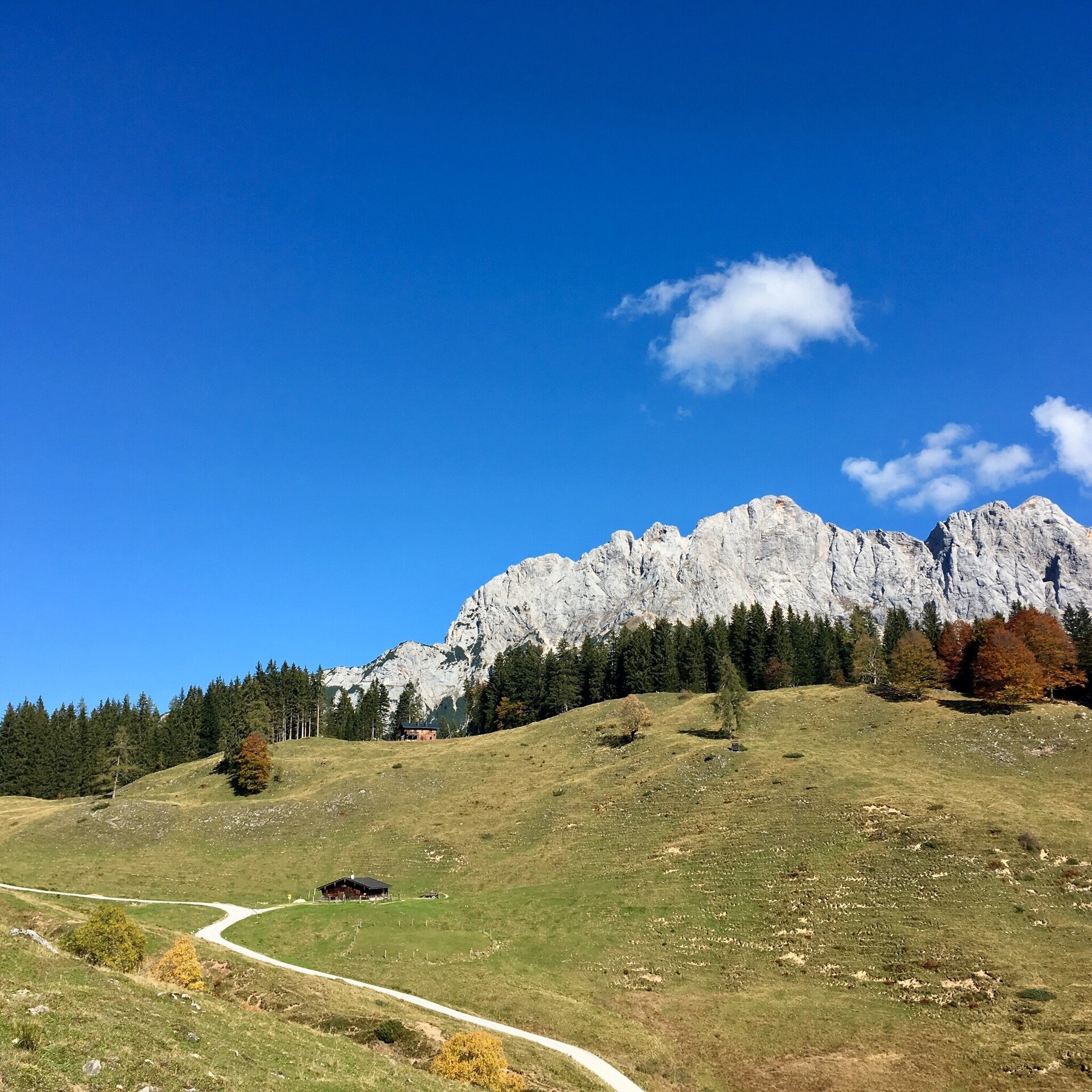
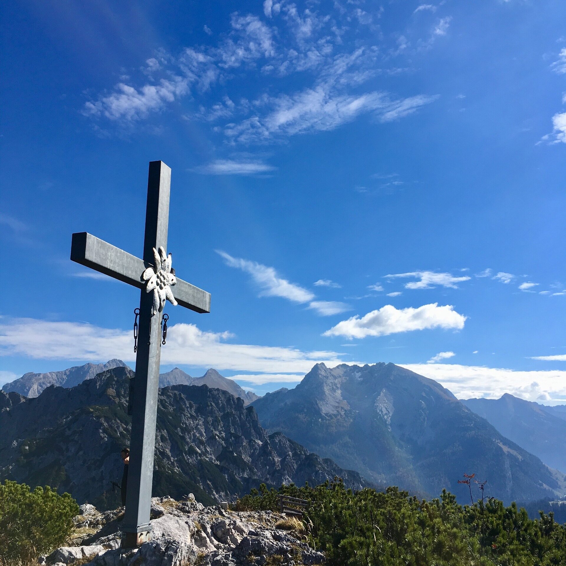
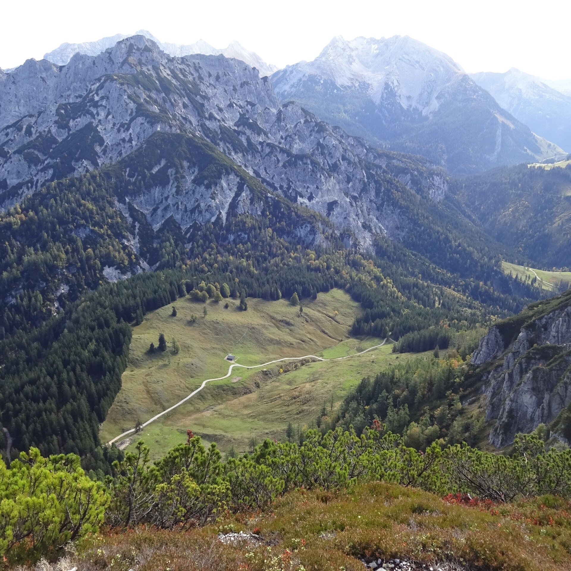
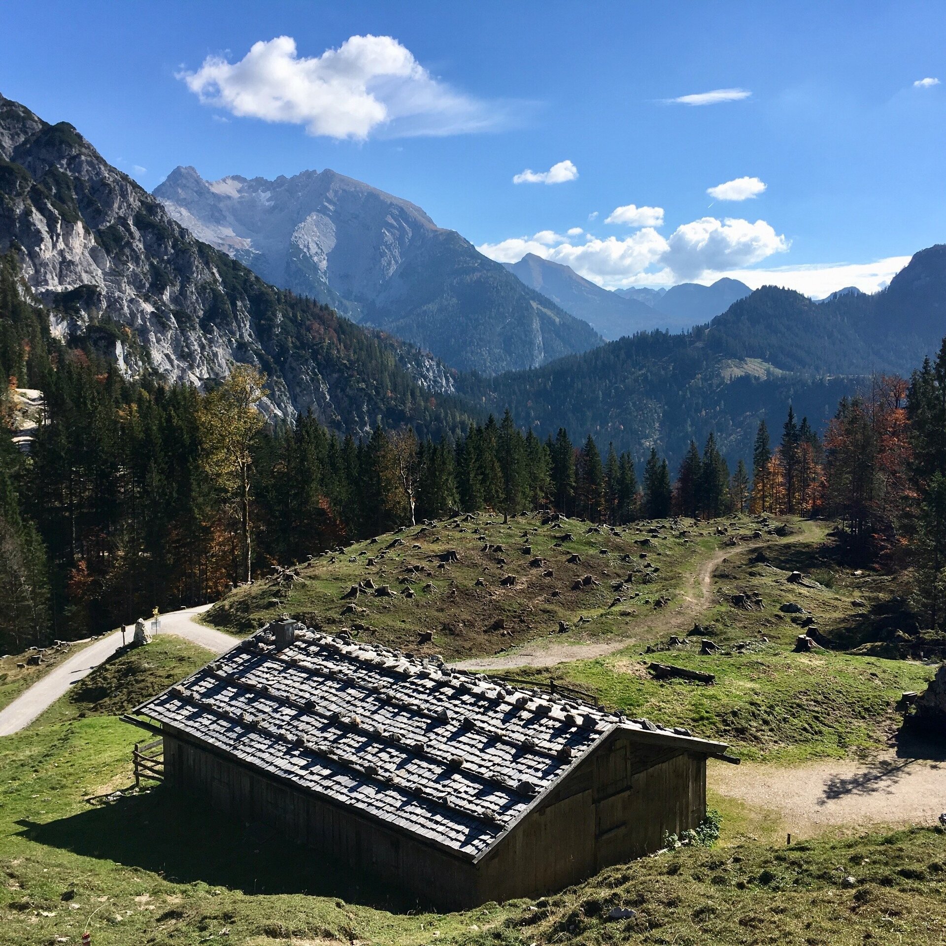
Tour highlights: The Hundalm with its cows and alm huts as well as the summit experience on the Hundshorn. Don't forget a summit photo and an entry in the summit book ;)
The tour is part of “Hiking with Kids” in the Salzburger Saalachtal. The duration and difficulty are suitable for children/families.
Follow the forest road to the left past the Pechtlbauer (trail nr. 23) to the Hundalm. As soon as you reach the alm, keep left and continue via trail nr. 24 to the Hundsattel. At the Hundsattel take the path to the right (nr. 24A) to the Hundshorn.
Return the same way. If you do not park your car at Pechtlbauer, a descent via the Scheffsnother Alm and Strohwollner Schlucht (trail nr. 24) to St. Martin is possible (duration 1.5 -2 hours).
- Start
- Hirschbichl - Pechtlbauer
- Goal
- Hirschbichl - Pechtlbauer
Directions & Parking
Drive straight on, uphill, at the Pension Wildental.
At the next fork in the road stay left and then left again to Pechtlbauer.
No official parking at Pechtlbauer. Parking is tolerated as long as there is space free and the car is parked so that the road and the entrance to the farm remain clear.
Public transport: Arrival with public transport is only possible as far as the bus stop St. Martin -Luftenstein with the bus 260 (timetable).
From here a taxi, ascent by foot/by bike to Pechtlbauer is necessary.
Coordinates:
WGS: 47.56398, 12.75739
GMS: 47° 33' 50.3" N, 12° 45' 26.6" E
Equipment