The 1st stage of the long-distance hike Pinzga Hatscha begins in Unken and ends in St. Martin bei Lofer.
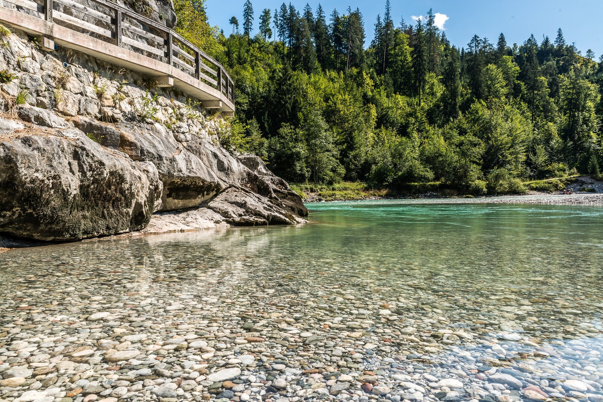
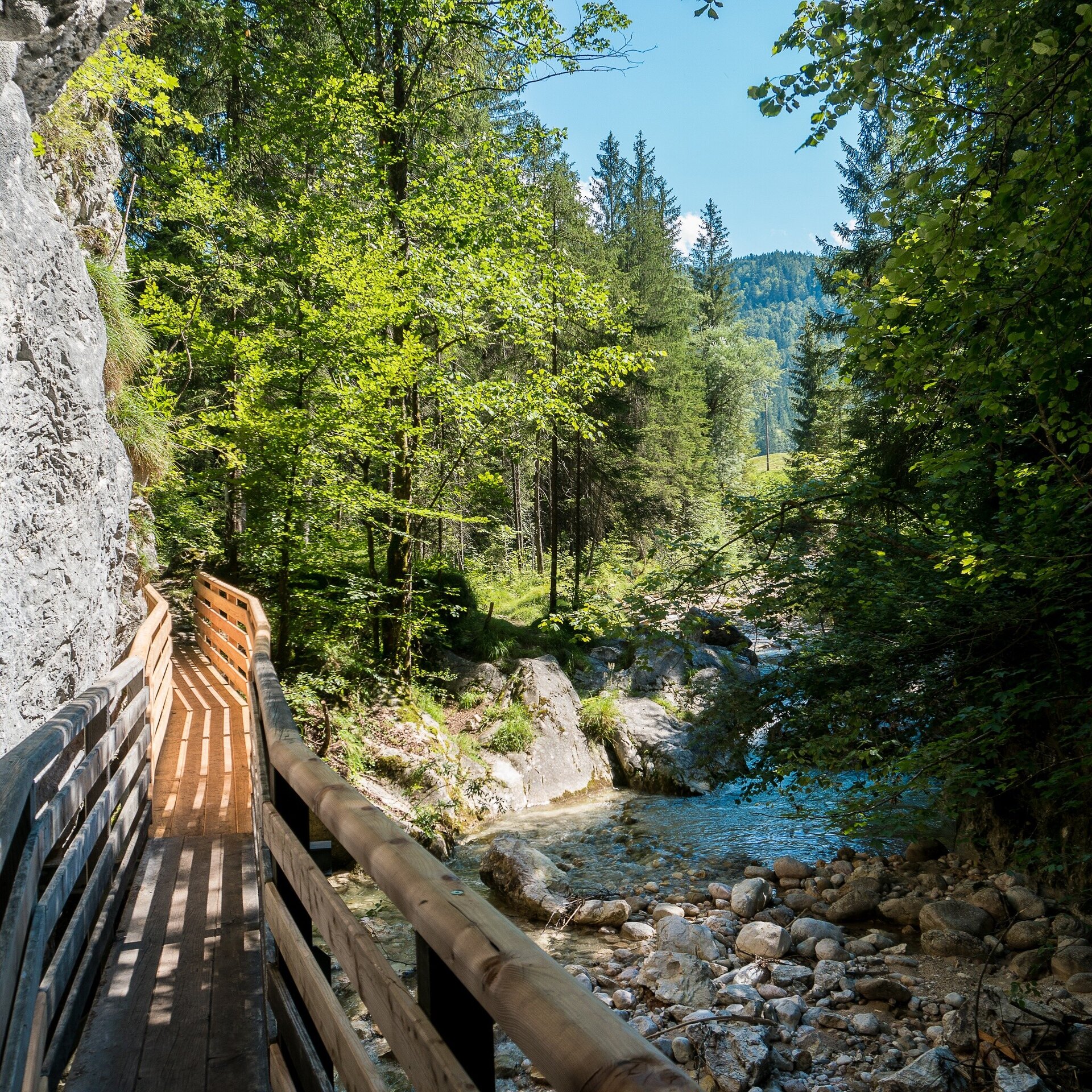
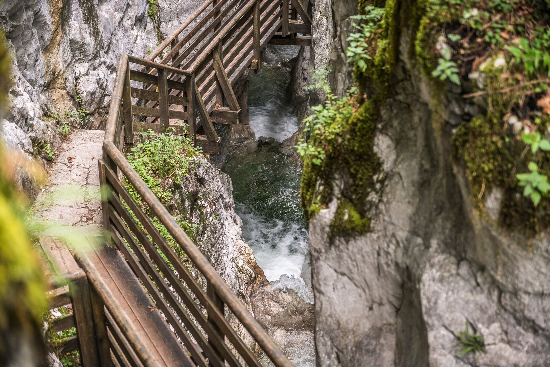
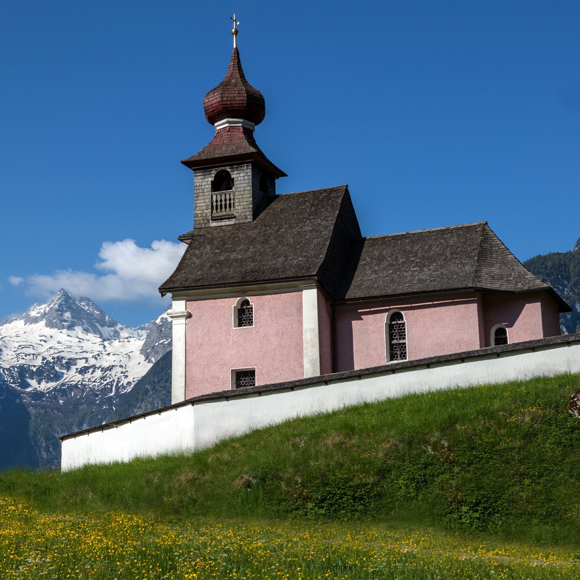
The stage is leisurely at the start and full of variety. A detour to the Innersbachklamm is recommended. The rest of the trail leads over many alpine pastures around the Großes Hundshorn to the Hundsattel. If you still feel like it, you can also take a detour here to the Großes Hundshorn and include this rewarding summit in the hike. After this, the route descends effortlessly past the Scheffsnother Alm to the Strohwollner Schlucht. A path, including steep sections, leads downhill and you will be amazed by how the water makes its way through the gorge. Once at the bottom, it is not far to St. Martin, your destination for this stage.From Unken, pass the Landhotel Schütterbad along the Gaissteig and through the Innersbachklamm to Reith. Continue to the right, pass Vitaloase drei Brüder and continue to the chapel. Turn left here and walk along the hiking path nr. 60 towards Au. Pass the Lenzenbauern farm and the plague memorial to reach the hiking path nr. 64, which leads directly to the Mayrbergklamm. After the Mayrbergklamm, continue right towards the “Auer Wiesn”. Once you reach the asphalt road, there is a short stretch uphill to the Hubertus Chapel/"Bergers Feinheit" junction. Turn left here and follow the path to the Kematsteinalm. First left and then right again (along the hiking path 401A), you will reach the Jochingalm first and then the Hundalm. Continue on the hiking path nr. 24 to the Hundsattel and then to the Scheffsnother Alm. Continue to follow the path nr. 24 to reach the valley via the Ötscher and the Strohwollner Schlucht. Walk downstream, then over the Grubhof bridge, via the football ground and over the meadows to St. Martin, the destination of today's stage.
(Take food with you, there are no refreshments between the village of Au and Grubhof or St. Martin at the end of the tour).
- Start
- Unken - council office
- Goal
- St. Martin - council office
Best Time of Year
Jän
Feb
Mär
Apr
Mai
Jun
Jul
Aug
Sep
Okt
Nov
Dez
Directions & Parking
Parking:
Via B178 to Unken
Parking near the council office of Unken
Public transport: With the bus 260 (timetable) to the stop Unken Ortsmitte (village centre).
Coordinates:
WGS: 47.64993, 12.72956
GMS: 47° 38' 59.7" N, 12° 43' 46.4" E
Parking near the council office of Unken
Public transport: With the bus 260 (timetable) to the stop Unken Ortsmitte (village centre).
Coordinates:
WGS: 47.64993, 12.72956
GMS: 47° 38' 59.7" N, 12° 43' 46.4" E
Equipment
Sturdy, ankle-high shoes, walking poles, head covering, sun protection, rain protection, water, necessary medication, first aid kit, detailed hiking map.