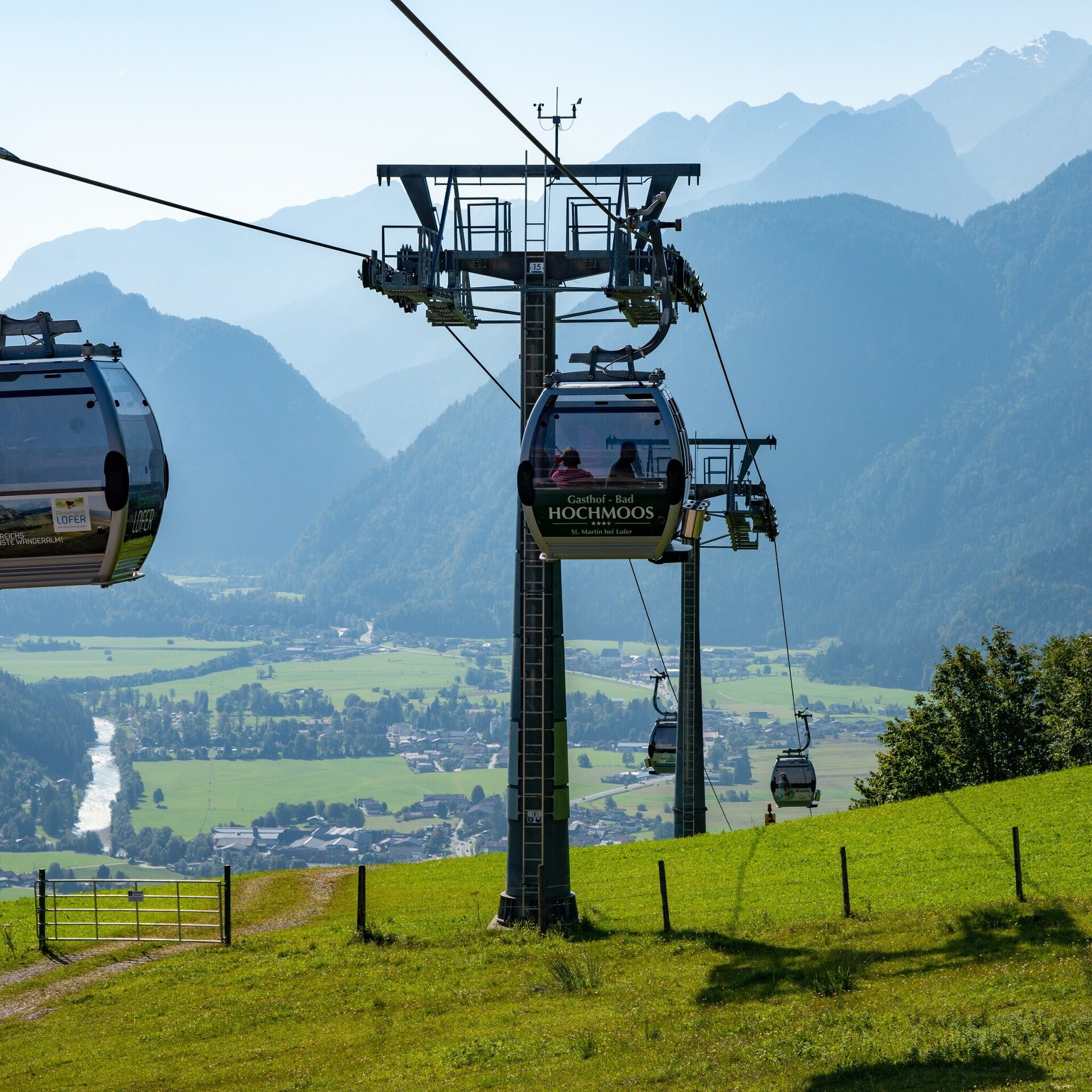
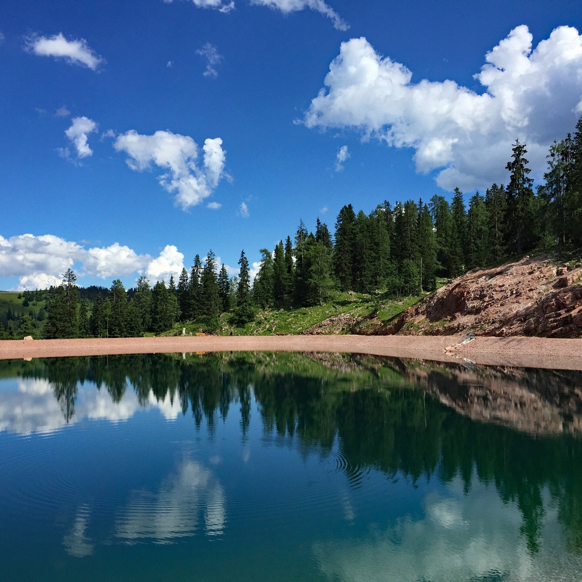
The 15th Stage of the long-distance hike “Pinzga Hatscha” leads from Lofer via the Almenwelt Lofer to Unken.
From Lofer, uphill towards Loderbichl. You hike over a beautiful alm area and pass several refreshment stops along the way. Many of these offer their own home-made products and invite you to take a break. For physically strong hikers, there is also the Grubhörndl. From there you have a wonderful view of the Loferer Steinberge. After ca. 11 kilometres, you have reached the highest point of this stage.After this, the trail goes downhill steadily. You hike through the picturesque Schwarzbergklamm further out of the valley until you finally reach the destination in Unken.
From Lofer, walk past the valley station of the cable-car along the hiking path nr. 50 via Faistau to Loderbichl and continue along the “Wasserfallweg” (adventure trail) to the Almenwelt Lofer. (Alternatively, you could use the Almbahn I and II). Pass Haus Schönblick, walk for a short stretch along the path nr. 201 and then turn right onto the hiking path nr. 8 towards Fußtal (Unken). At the Fußtalstube, turn right to the Schwarzbergalm and Lochtretalm to the Schwarzbergklamm. Here, you won't be able to stop staring at how a mountain stream has cut and eaten its way through the rock over thousands of years.
Then turn left, uphill to the Muckklause and to the Bavarian Winklmoos Alm. The hike turns right downstream to the Eiblklamm and via a forestry road (closed to traffic) for ca. 6 km to the Gasthof Friedlwirt. From here the last couple of kilometres are along an asphalt road to Unken.
- Start
- Lofer - Tourist office
- Goal
- Unken - council office
Best Time of Year
Jän
Feb
Mär
Apr
Mai
Jun
Jul
Aug
Sep
Okt
Nov
Dez
Directions & Parking
Parking:
For smooth travel to our tours, we offer comprehensive information and route descriptions. Visit our Arrival & Mobility page for all the details.
Possibility at the large car park in Lofer - right next to the tourist office (free of charge)
Public transport: Use public transportation for an eco-friendly and convenient way to reach our tours. Detailed information about available transportation options can be found on our Arrival & Mobility page.
Coordinates:
WGS: 47.58686, 12.69562
GMS: 47° 35' 12.7" N, 12° 41' 44.2" E
Possibility at the large car park in Lofer - right next to the tourist office (free of charge)
Public transport: Use public transportation for an eco-friendly and convenient way to reach our tours. Detailed information about available transportation options can be found on our Arrival & Mobility page.
Coordinates:
WGS: 47.58686, 12.69562
GMS: 47° 35' 12.7" N, 12° 41' 44.2" E