The 2nd stage of the long-distance hike “Pinzga Hatscha” leads from St. Martin bei Lofer to Weißbach bei Lofer.
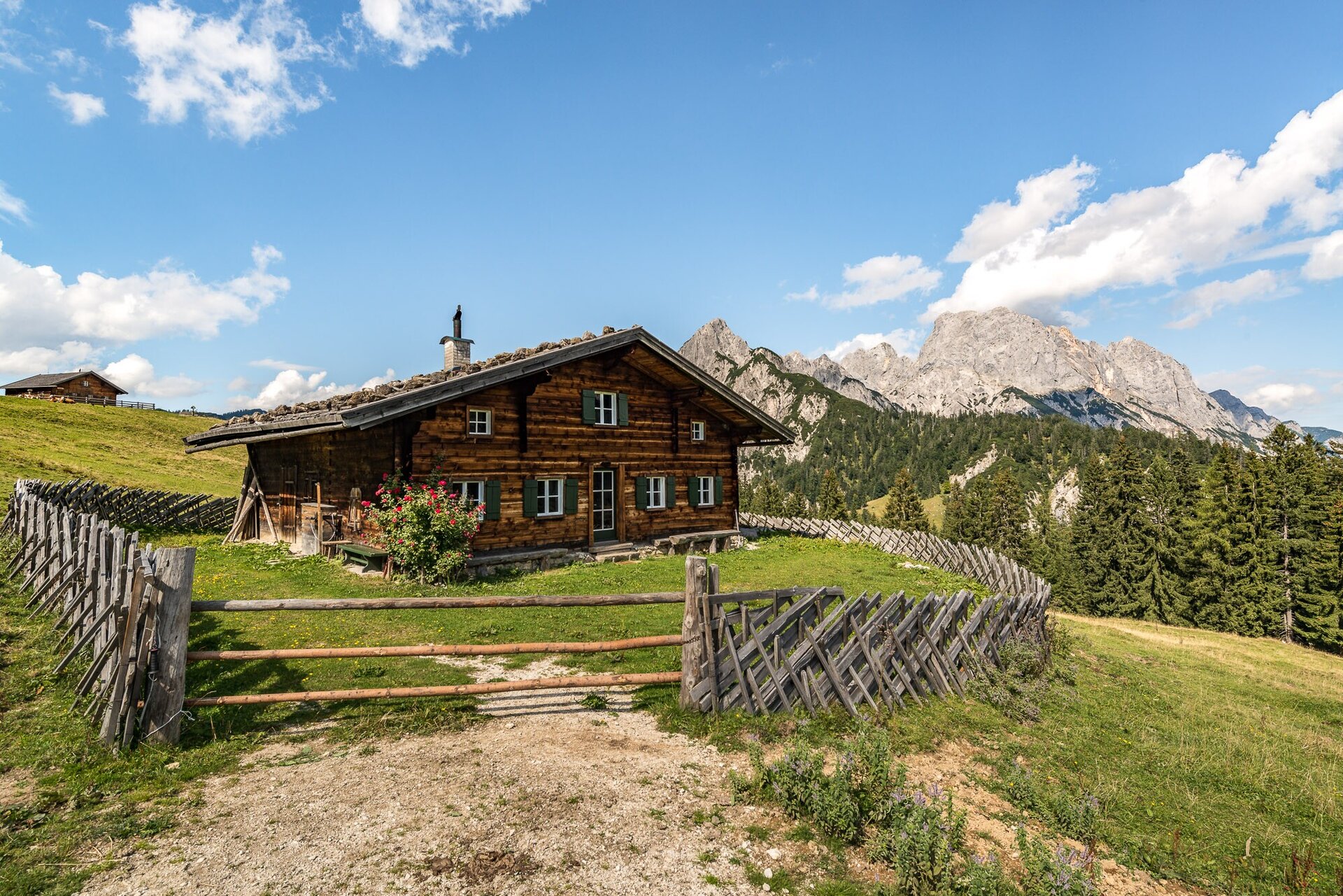
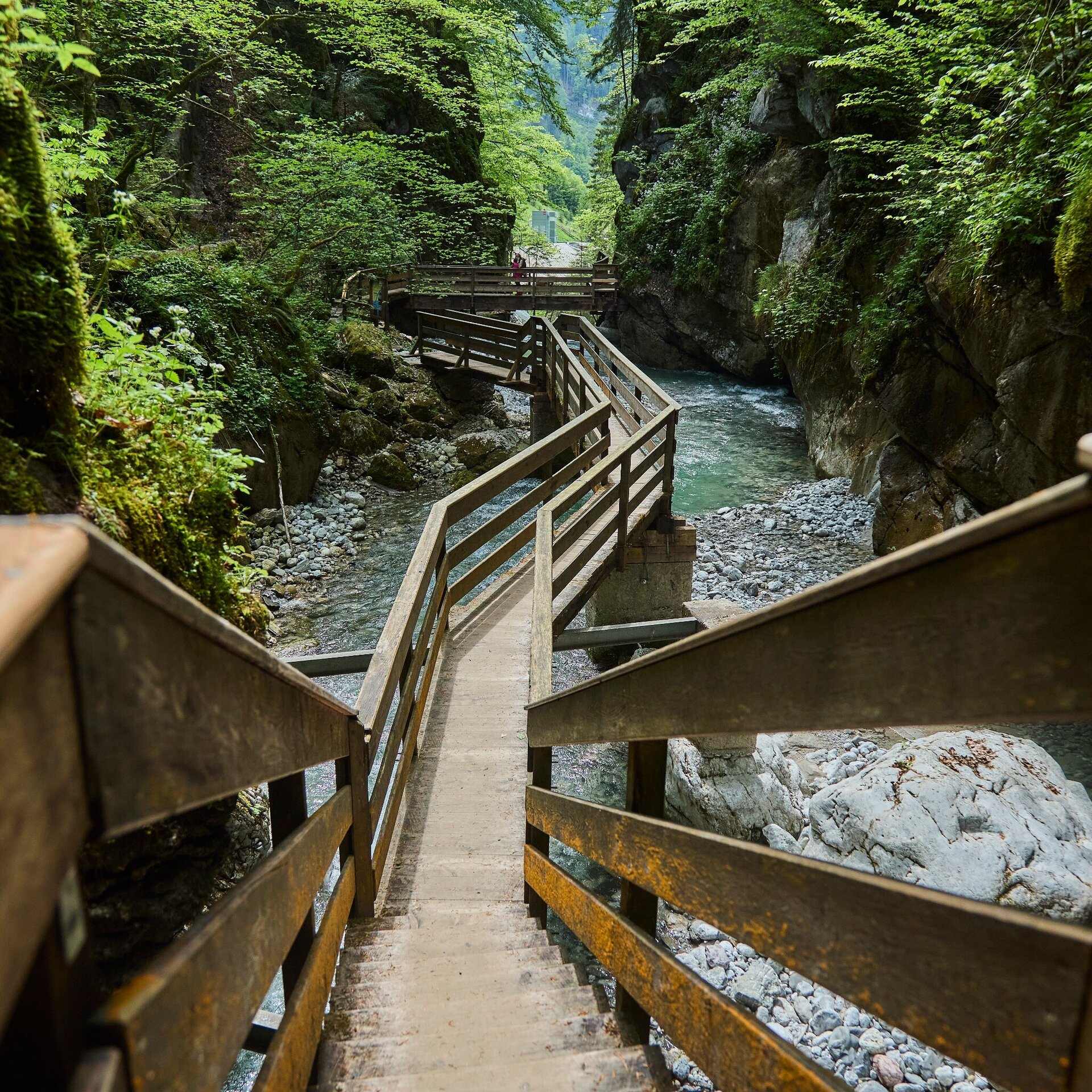
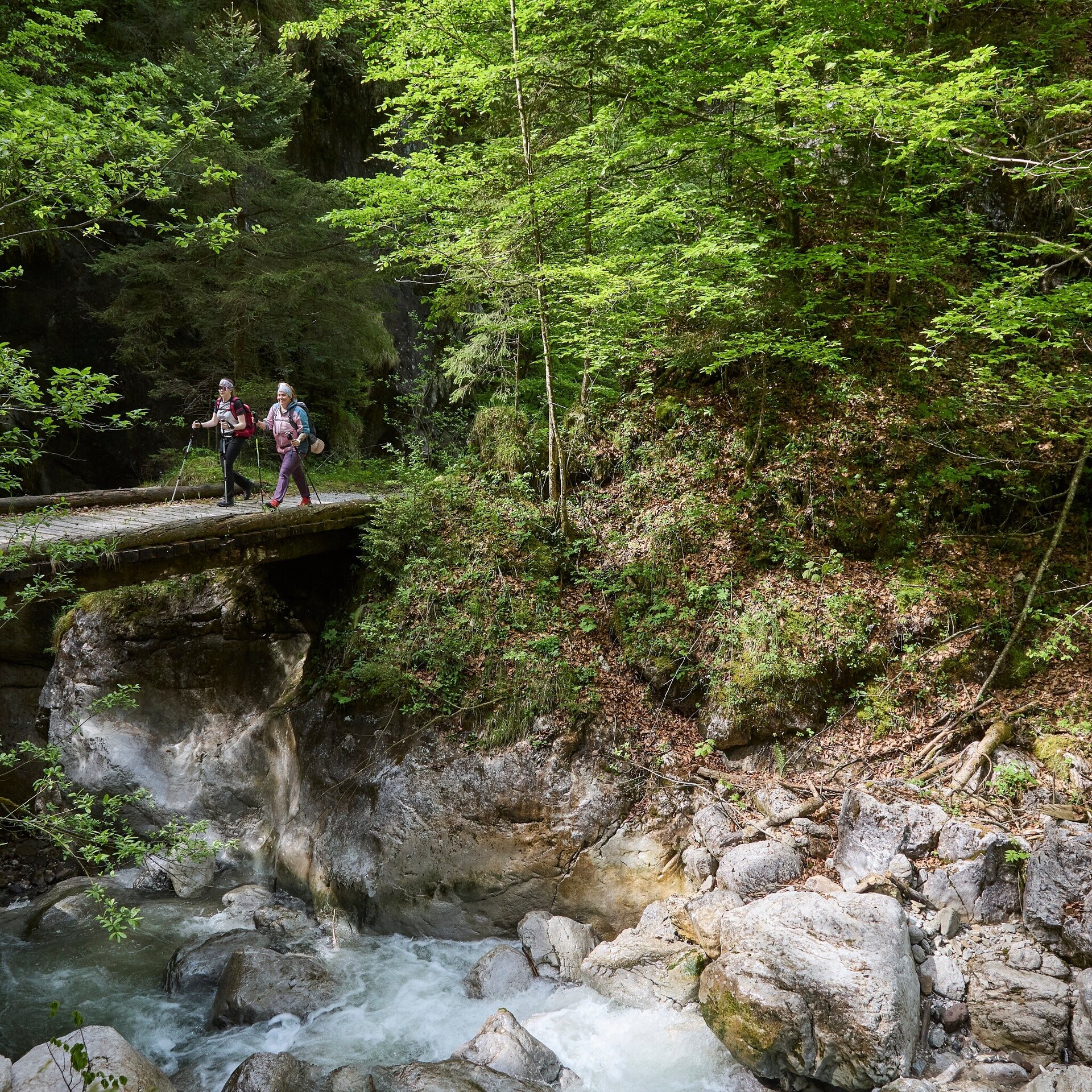
From St. Martin, first follow the Saalach and after a short time turn off to the Wildenbachschlucht. A beautifully constructed path leads you along the mountain stream and brings you to a wider path again. There is a lot of variety on the way to the Litzlalm. Here, there is the chance to climb the Litzlkogel, a very panoramic peak. A nice path leads steadily downhill until you reach the Seisenbergklamm, an absolute highlight. Here you will be amazed by the unique power of water. Shortly after the Seisenbergklamm you reach Weißbach bei Lofer, the destination for this stage.
Pinzga Hatscha Stage 2 Tour PDF download
From St. Martin head south towards Luftenstein. Go under the subway, cross the Saalach and after ca. 100 m (at Pension Wildental) turn right into the Strohwollner Park and follow the North Alpine long-distance path Nr. 401 along the Saalach to the Wildenbachau in the hamlet Obsthurn. Turn left and go through the Wildenbachschlucht, steadily uphill to the Mühlgraben chapel, a chapel dedicated to St. George from 1688 (renovated at the end of the 90s). Turn right and then left again on the asphalt road up to Zulehenbauer farm and then on to the Eibl chapel. At the Eibl junction, take the hiking path to Reitkaser on the Litzlalm. Through the high forest, take the path nr. 35 to the Hirschbichl pass. Walk back ca. 100 m on the asphalt road and then turn right – along the adventure trail Hirschbichl – to Hintertal. From there continue on to Gasthaus Lohfeyer and further through the Seisenbergklamm to the destination in Weißbach.
- Start
- St. Martin
- Goal
- Weißbach
Best Time of Year
Jän
Feb
Mär
Apr
Mai
Jun
Jul
Aug
Sep
Okt
Nov
Dez
Directions & Parking
Parking:
Via B311 to St. Martin bei Lofer
Public car parking is available (free of charge) behind the Red Cross and Fire Brigade stations.
Public transport: With the bus 260 to the stop St. Martin Abzw. Ort (timetable)
Coordinates:
WGS: 47.56573, 12.70581
GMS: 47° 33' 56.6" N, 12° 42' 20.9" E
Public car parking is available (free of charge) behind the Red Cross and Fire Brigade stations.
Public transport: With the bus 260 to the stop St. Martin Abzw. Ort (timetable)
Coordinates:
WGS: 47.56573, 12.70581
GMS: 47° 33' 56.6" N, 12° 42' 20.9" E
Equipment
Sturdy, ankle-high shoes, walking poles, head covering, sun protection, rain protection, water, necessary medication, first aid kit, detailed hiking map.