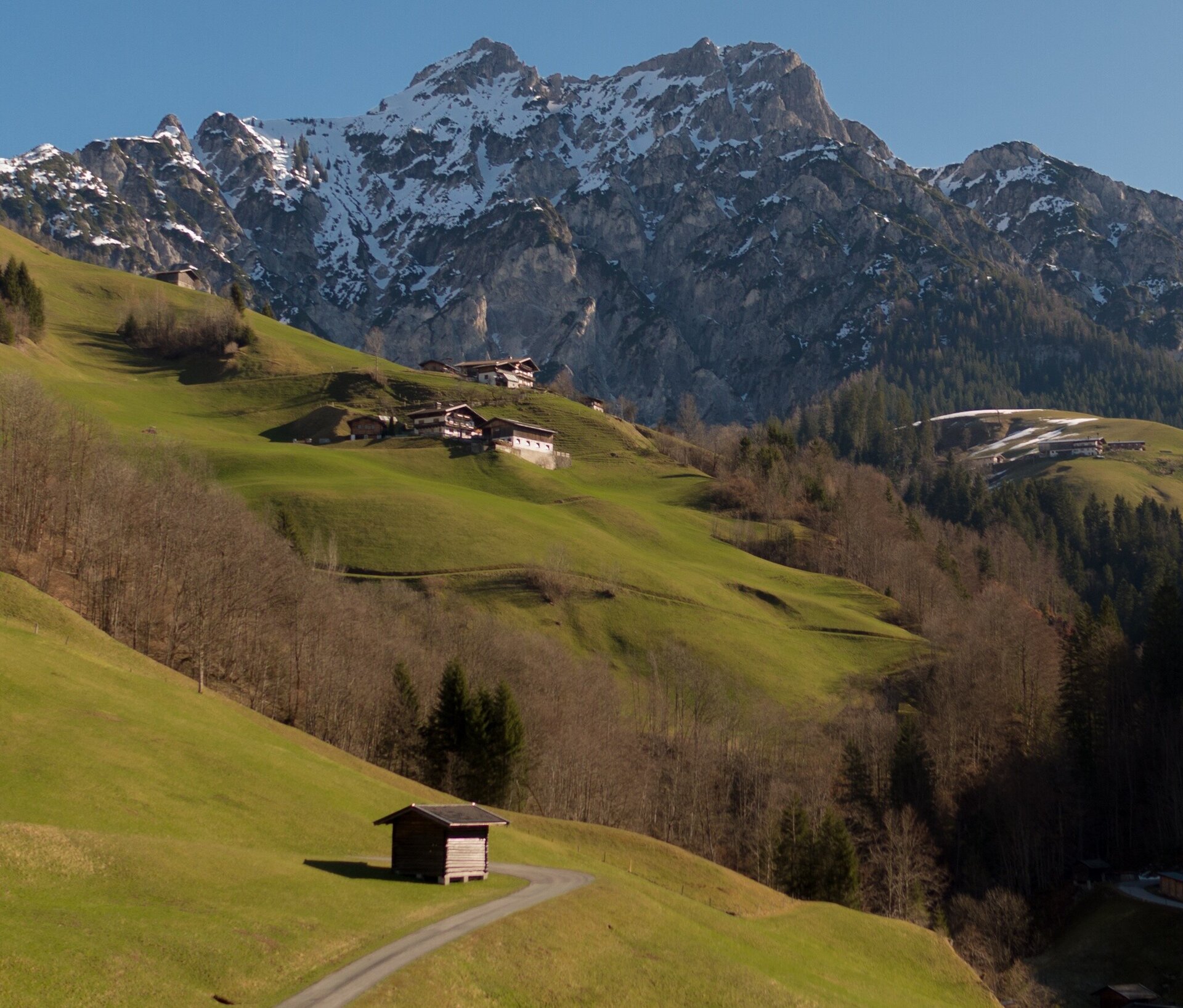
Long-distance hike through the Salzbuger Saalachtal: Lofer - Loferer Alm - Unken - Reith - St. Martin - Weißbach - Lofer.
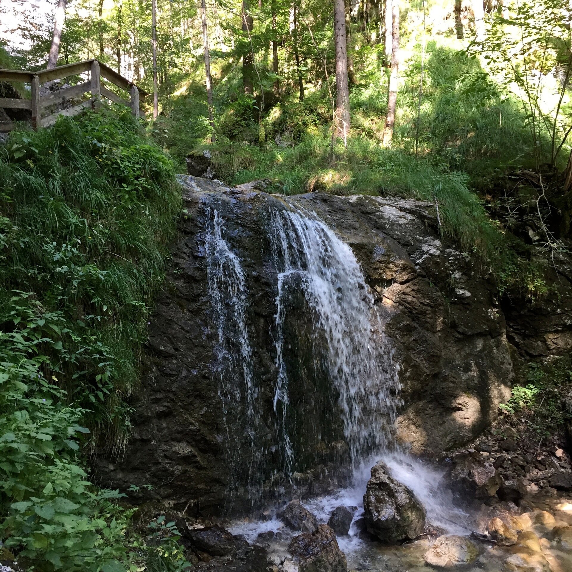
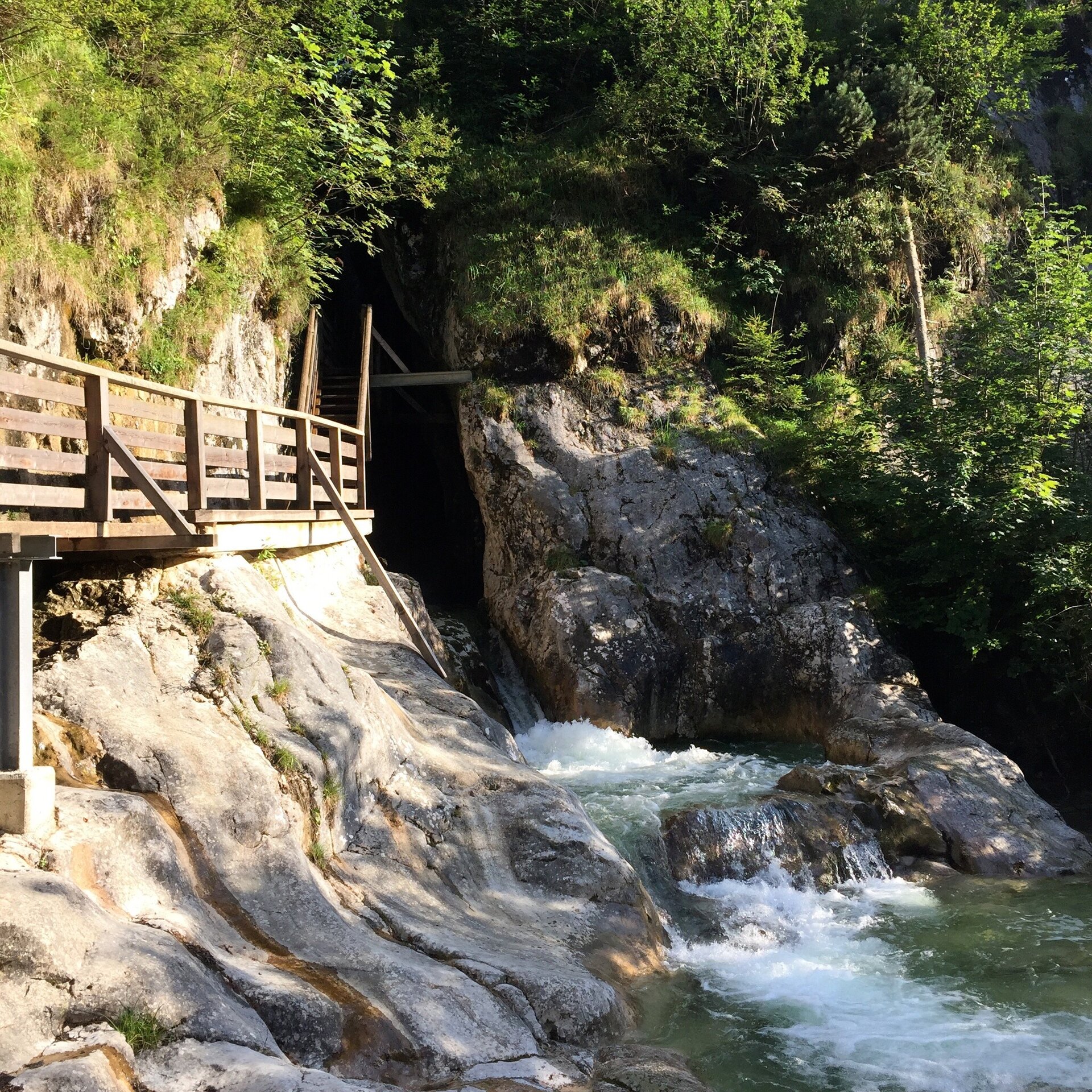
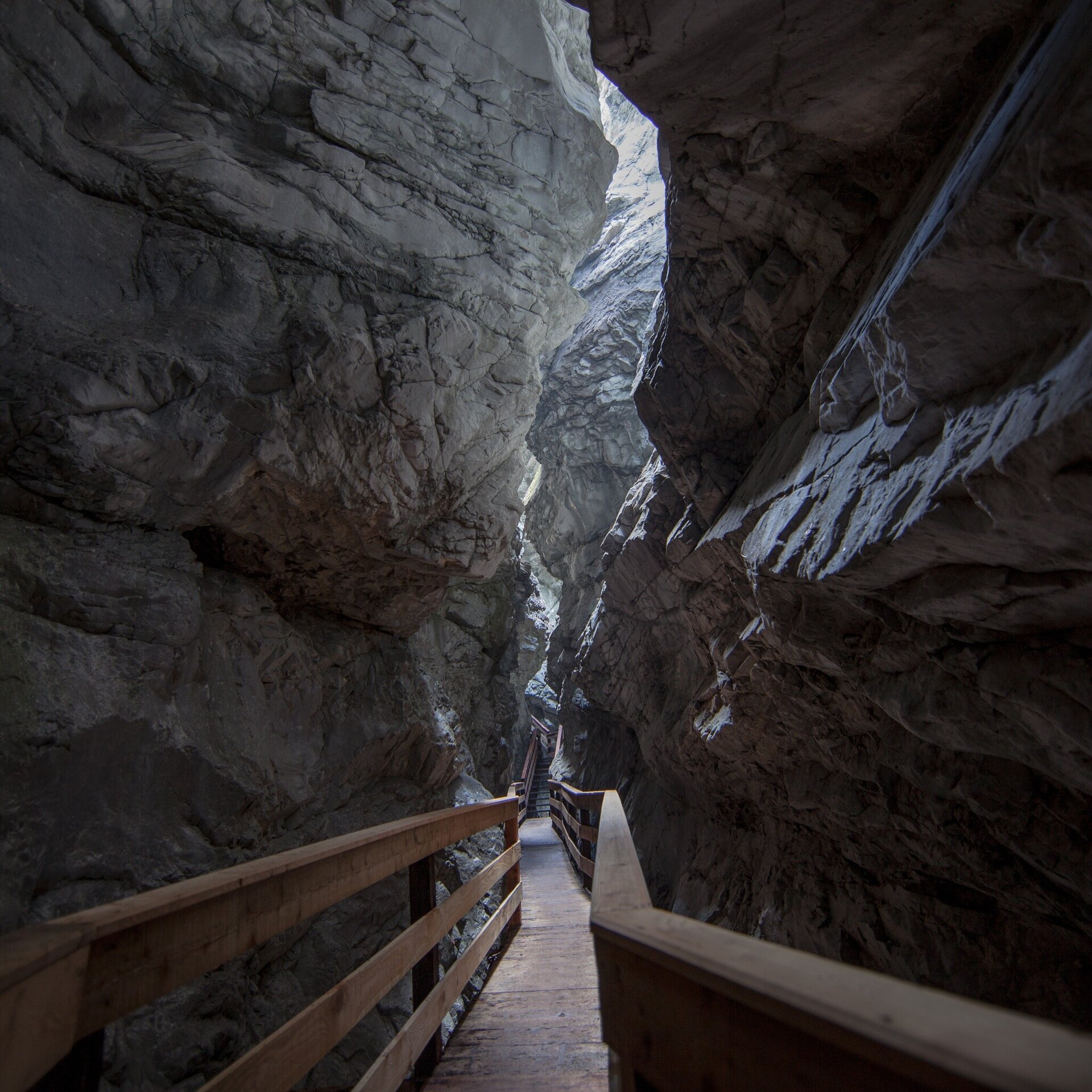
This eventful route gives unique impressions of the "Saalachtal forces of nature". On the stage through the Lamprechtshöhle cave, the largest cave system in Europe, you go 700 m into the mountain. According to legend, the treasure of the knight Lamprecht is still hidden here. The brave can also book a guided tour through the cave's research area, which is not open to visitors. On hot summer days, the stage through the Vorderkaserklamm gorge is a real highlight: the path to the gorge takes you through the protected Vorderkaser natural bathing area - the crystal-clear water invites you to cool off. In the 400 m long and 80 m deep Vorderkaserklamm gorge, you can look down on the foaming water from wooden footbridges and experience the forces of nature up close. In the mountaineering village Weißbach, you climb along bizarrely shaped rocks and over robust footbridges through the Seisenbergklamm gorge into the Weißbach Nature Park.Hiking from place to place and from valley to valley. You decide the day's stage yourself: depending on your physical condition, there are usually several variants (between 3 and 9 hours) to choose from. Individual hikes through a total of 8 gorges and ravines, but also across many flowering alpine meadows.
A total of 110 km, 36 hours walking time.
Route:
1) Lofer - Maria Kirchental - Strohwolln - Scheffsnoth - Au - Lofer.
2) Lofer - Almenwelt Lofer - Schwarzbergklamm - Eiblklamm - Friedlwirt - Unken
3) Unken - Josefsallee - Haiderhof - Aschauer Klamm - Reither Mähder - Innersbachklamm - Reith
4) Reith - Au - Mayrbergklamm - Auer Wiesn - Kematsteinalm - Jochingalm - Hundalm - Wildental - St. Martin
5) St. Martin - Martinsschlucht - Wildenbachschlucht - Mühlgrabenkapelle - Möserwald - Eiblkapelle - Litzlalm - Hirschbichl - Hintertal - Seisenbergklamm - Weißbach
6) Weißbach - Lamprechtshöhle - Vorderkaserklamm - Strohwollner Schlucht - Lofer.
(Alternatives are possible)
- Start
- Lofer
- Goal
- Lofer
Directions & Parking
Parking is available at the large car park in Lofer next to the tourist office (free of charge) or at the first accommodation.
Public transport: Take the 260 or 4012 bus to the Lofer - Mittelschule/Tourismusverband stop.
Coordinates:
WGS: 47.58644, 12.69604
GMS: 47° 35' 11.2" N, 12° 41' 45.7" E
Equipment
Shoes: Comfortable, well-ventilated hiking shoes with good grip.
Equipment: backpack, hiking poles, sunscreen, hat or cap, first aid kit, map and compass, cell phone.
As needed: rain jacket, sunglasses.