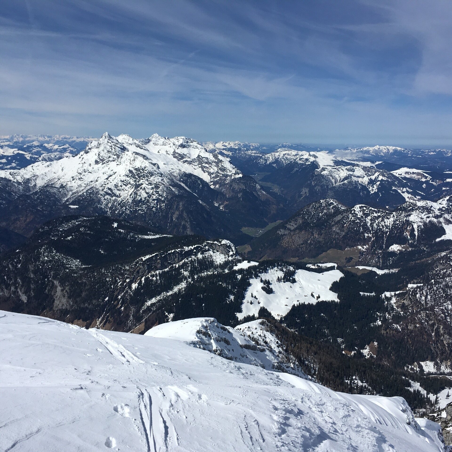
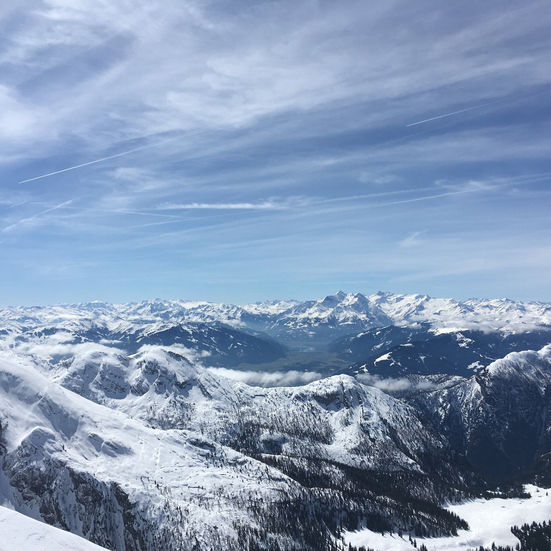
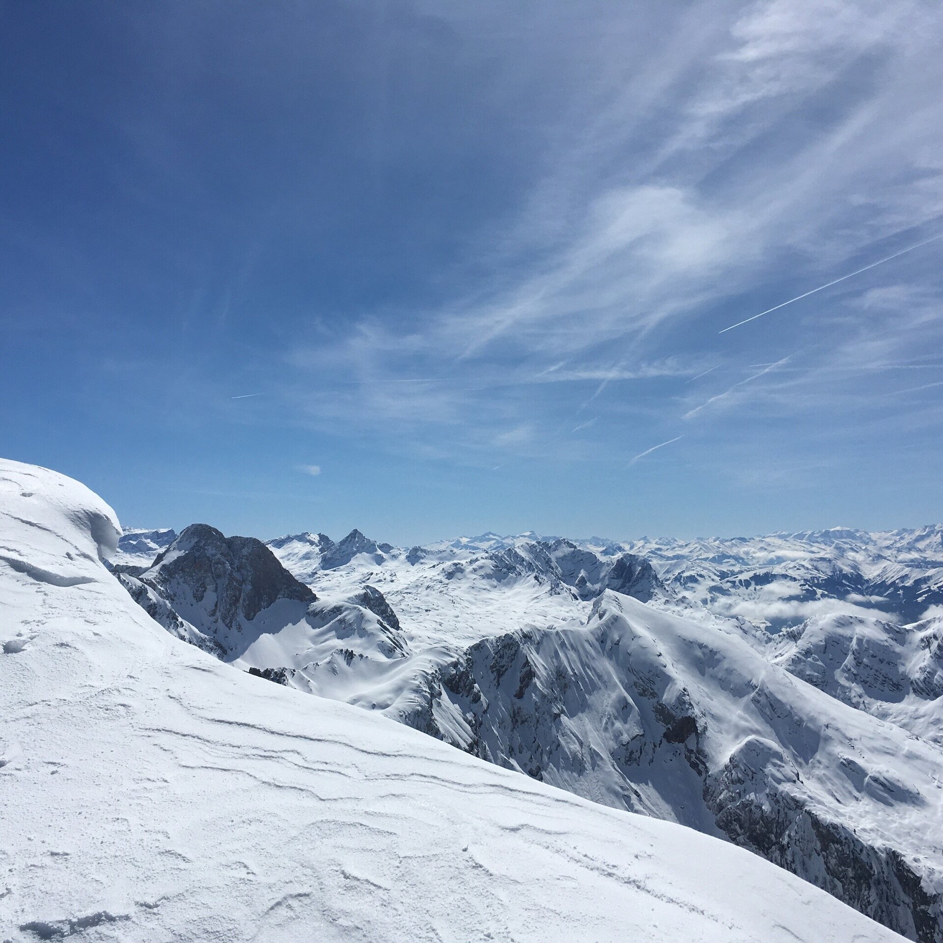
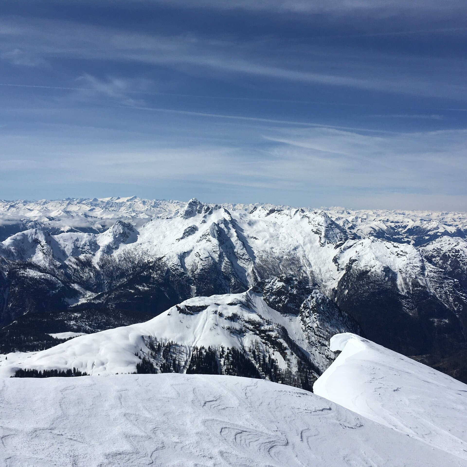
Ski tour with high alpine character and unique views of the mountains.
Despite its steep appearance, the Kammerlinghorn can be climbed on skis to enjoy the wonderful panorama.
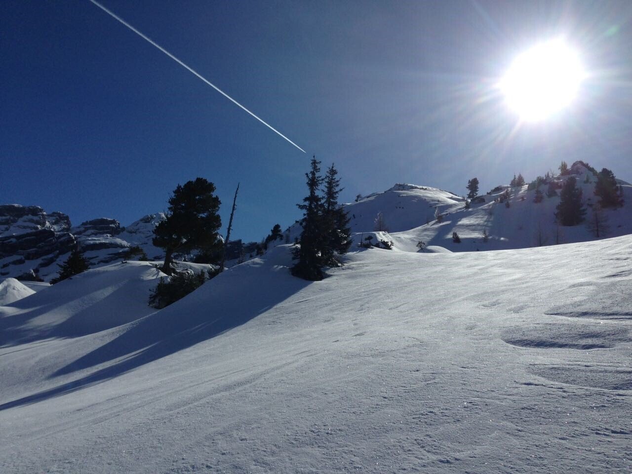
We hike along the initially very steep road towards the Hirschbichlpass. At the second fork in the road, we turn right along the alpine path until we reach the first buildings of the Kammerlingalm. The summer trail to the Kammerlinghorn branches off to the left here. The path climbs steeply across the alpine meadows to the edge of the forest. The south-west slope becomes steeper and steeper and the forest thicker. Close to the summer trail, a path through the flank can be found, sometimes with some difficulty, in many steep hairpin bends. As soon as the high forest thins out, it becomes flatter again. We turn right towards the striking Mooswand and reach the broad and moderately steep western ridge of the Karlkogel. After a short flat section, the route now becomes somewhat steeper over the south-west slope of the Karlkogel. After a short but flat descent, we walk over the often overwept edge of the wide western ridge for around 300 metres up to the summit of the Kammerlinghorn.
- Start
- Hintertal car park
- Goal
- Hintertal car park
Directions & Parking
Über die B311 bis nach Weißbach bei Lofer und über die L110 (Hirschbichlstraße) bis zum Parkplatz Hintertal (Anreise)
Parkplatz Hintertal (4,00€ pro Tag)
Public transport:
Die Anfahrt mit dem öffentlichen Verkekhr ist nur bis nach Weißbach bei Lofer Linienbus 260 (Fahrplan) möglich.
Coordinates:
WGS: 47.53785, 12.79495
GMS: 47° 32' 16.3" N, 12° 47' 41.8" E
Equipment
LVS device, shovel and probe