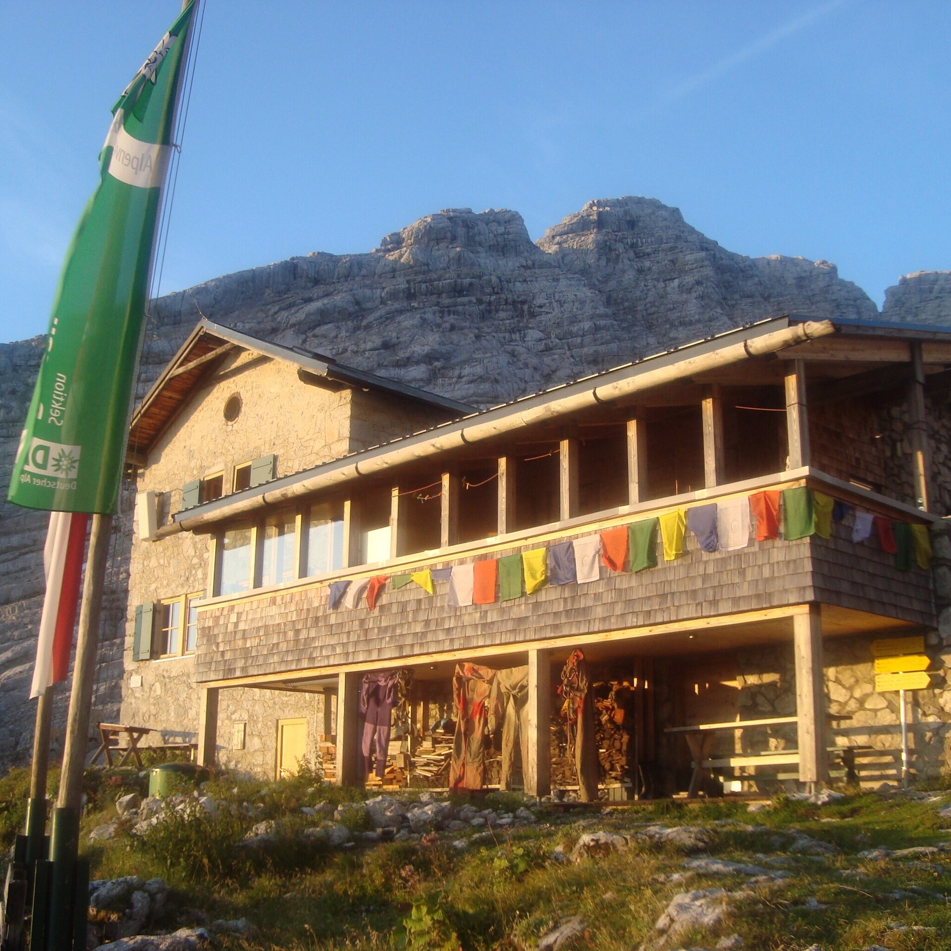
The Hinterhorn, also known as the Mitterhorn, is the second highest peak in the Loferer Steinberge.
The mountain route to the Hinterhorn is one of the easier mountain tours in the Loferer Steinberge. Nevertheless, a certain level of fitness and a head for heights are required as the tour leads up to over 2,500 metres.From the Schmidt-Zabierow hut, take trail no. 612 up towards the Breithorn until you turn left and walk straight on to the Waidringer Nieder. From there you walk past the small Hinterhorn to the Großer Hinterhorn/Mitterhorn. Take the same route back to the Schmidt-Zabierwo hut.
- Start
- Schmidt-Zabierow-Hütte
- Goal
- Schmidt-Zabierow-Hütte
Best Time of Year
Jän
Feb
Mär
Apr
Mai
Jun
Jul
Aug
Sep
Okt
Nov
Dez
Directions & Parking
Parking:
Hikers' car park at the end of the Loferer Hochtal valley
Coordinates:
WGS: 47.55073, 12.64583
GMS: 47° 33' 2.6" N, 12° 38' 45.0" E
Coordinates:
WGS: 47.55073, 12.64583
GMS: 47° 33' 2.6" N, 12° 38' 45.0" E
Equipment
Hiking and mountain equipment