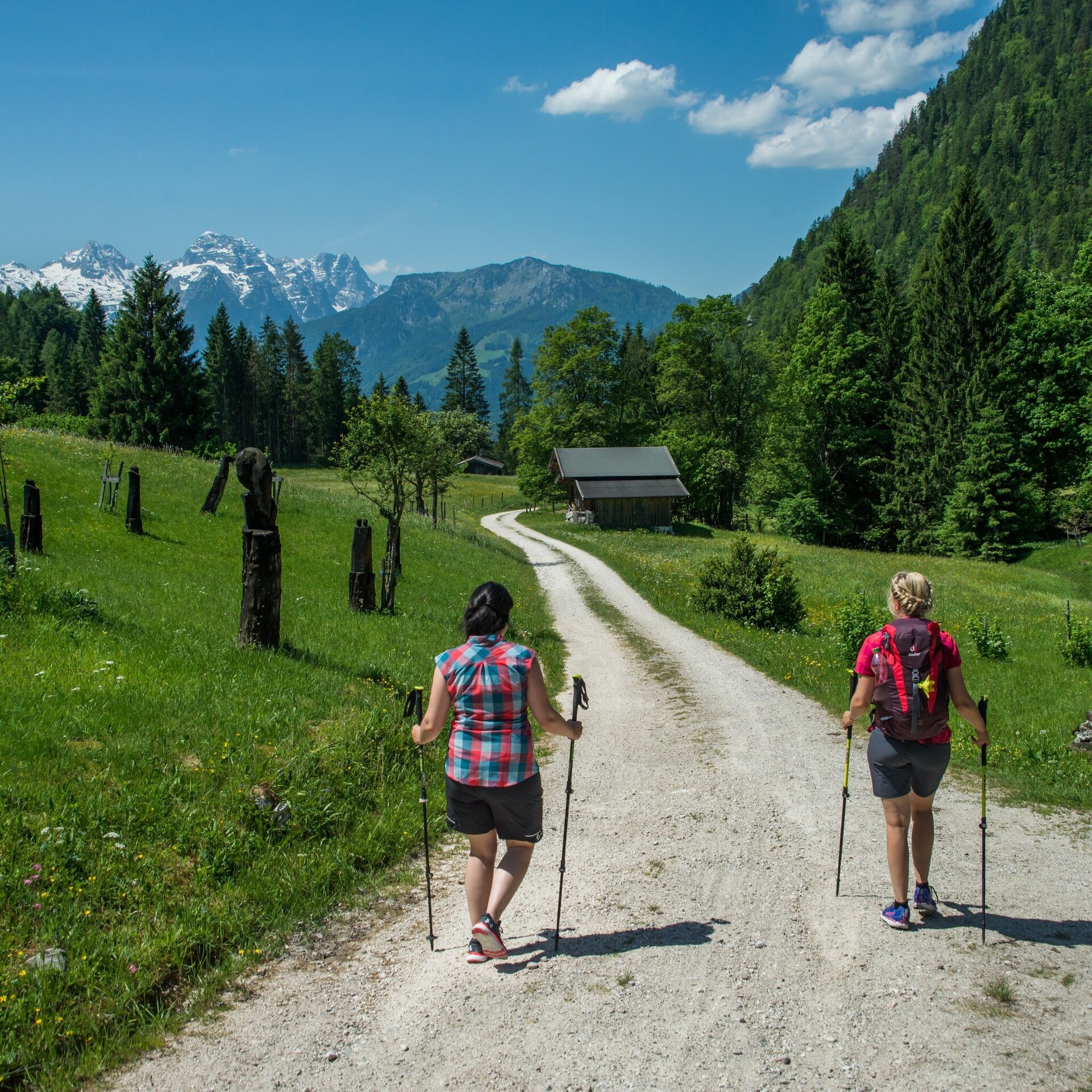
From Reith via the forest road towards the Aschauer Sattel and further to the peak of the Achhorn.
Physical condition: Strength for ca. 3 hours hiking uphill with 750 metres height difference. The ascent becomes increasingly steep towards the end of the hike. Total hiking time ca. 5 hours.In brief: The tour runs along an asphalt road for the first section through the village district Reith. After ca. 1 kilometre this becomes a forest road. In the last section, a hiking path leads to the summit. Here there are few sections which are exposed for a short time on rooty paths in the steep forest. A rope has been fixed to the rock to hold on to. A little sure-footedness and a head for heights is needed here. Return by the same route. There are no refreshments along the way, the next possibilities are available in Unken approx. 3 km from the start and end point.
Tour highlights: The summit experience with a unique view of Unken. Don't forget a summit photo and entry in the summit book ;). At the end of the tour there is a chance to cool off in the “Reith swimming pool”.
From the car park at the Reith bridge along the asphalt road at first and later along the forest road towards the Aschauer Sattel. Shortly before the German border, turn left and follow the hiking trail nr. 2 up to the Achhorn. The descent follows the same trail as the ascent.
- Start
- Unken/Reith - Reither Bridge car park
- Goal
- Unken/Reith - Reither Bridge car park
Directions & Parking
Car park directly after the Reith bridge. (free of charge)
Public transport: With the bus 260 bis to the bus stop Unken – Reith.
Coordinates:
WGS: 47.62607, 12.72414
GMS: 47° 37' 33.9" N, 12° 43' 26.9" E
More Information & Links
Tips
Tour Highlights: Das Gipfelerlebnis mit einmaligem Blick auf Unken. Gipfelfoto und Eintrag ins Gipfelbuch nicht vergessen ;-).