Hike from Heutal in Unken to the Wildalm.
Physical condition: Strength for ca. 60 minutes hiking uphill with ca. 300 metres ascent. Total hiking time ca. 100 minutes.In brief: The ascent to the Wildalm follows an asphalt road at first and later a forest road. After 600 metres turn right and the last kilometre follows a well-maintained hiking path to the destination on the alm. The way back follows the same route. Refreshments available at the Jausenstation Wildalm, the highest point on the tour, or in Heutal.
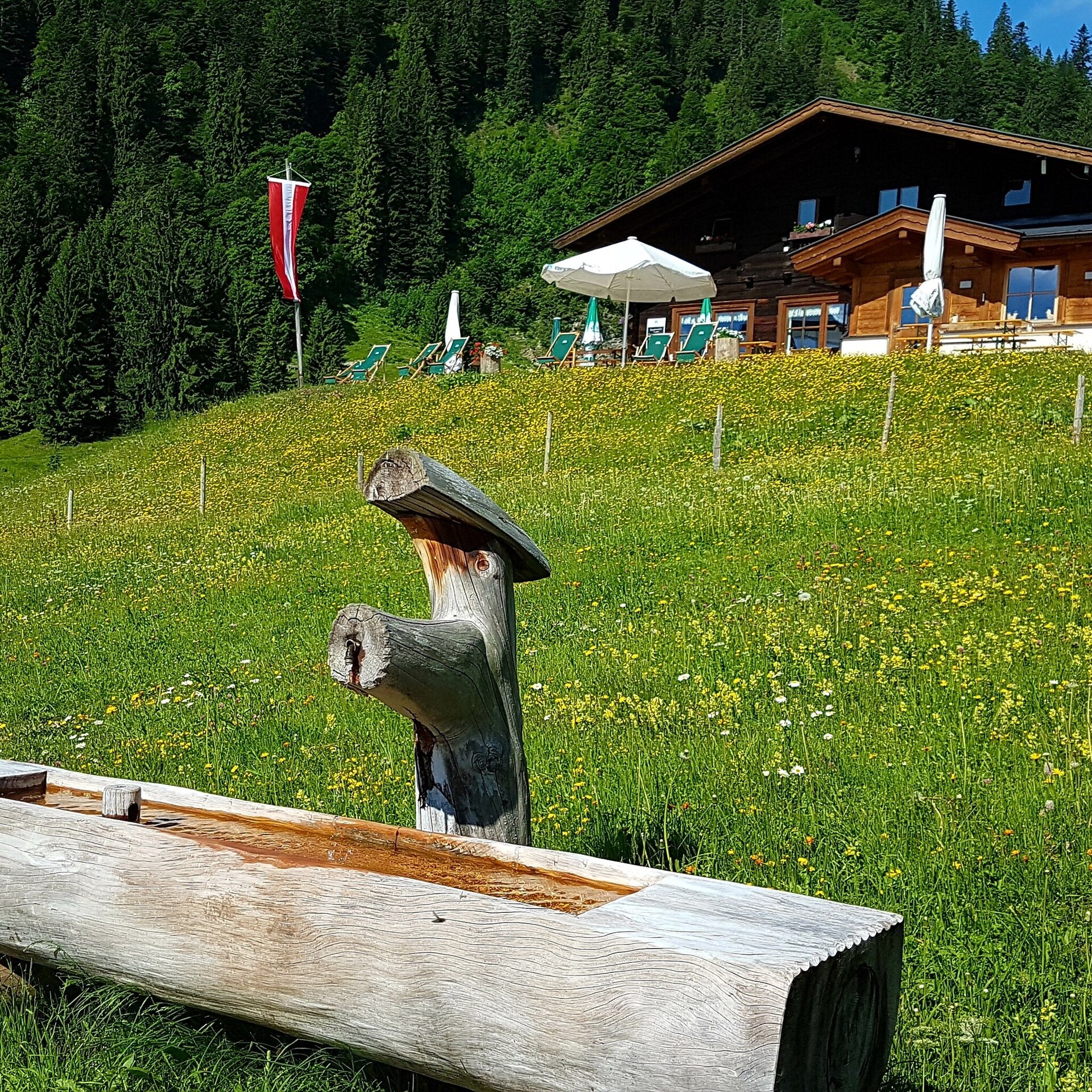
Tour highlights: The Wildalm with the Jausenstation as well as the alm huts and cows.
The tour is part of “Hiking with Kids” in the Salzburger Saalachtal. The duration and difficulty are suitable for children/families.
Start from the car park at the end of the Heutal Landesstraße (near the Heutaler Hof). Along the forest road at first until the hiking path nr. 17 turns off to the left. From here follow the hiking path to the Wildalm – the highest point on the tour. Return the same way.
Alternative: Return via the Gimpling forest road and the Landweg (nr. 16). Takes approximately 1 hour longer but is flatter.
- Start
- Heutal
- Goal
- Heutal
Best Time of Year
Jän
Feb
Mär
Apr
Mai
Jun
Jul
Aug
Sep
Okt
Nov
Dez
Directions & Parking
Parking:
Via the B178 to Unken and further via the Heutaler Landesstraße (L251) to the car park at Heutal.
Car park Heutalbauer (subject to a fee).
Public transport: Arrival by public transport is only possible as far as Unken (bus 260). After that you would need a taxi to get to the start of the tour.
Coordinates:
WGS: 47.66157, 12.65063
GMS: 47° 39' 41.7" N, 12° 39' 2.3" E
Car park Heutalbauer (subject to a fee).
Public transport: Arrival by public transport is only possible as far as Unken (bus 260). After that you would need a taxi to get to the start of the tour.
Coordinates:
WGS: 47.66157, 12.65063
GMS: 47° 39' 41.7" N, 12° 39' 2.3" E