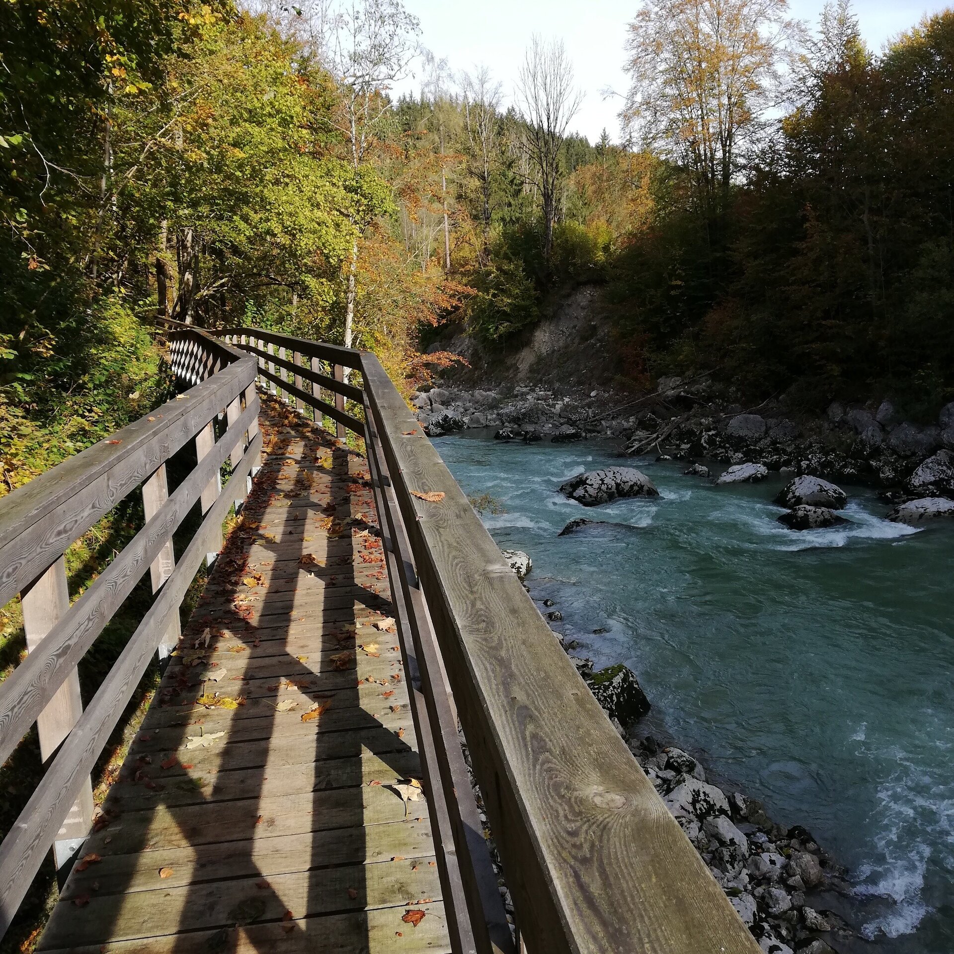
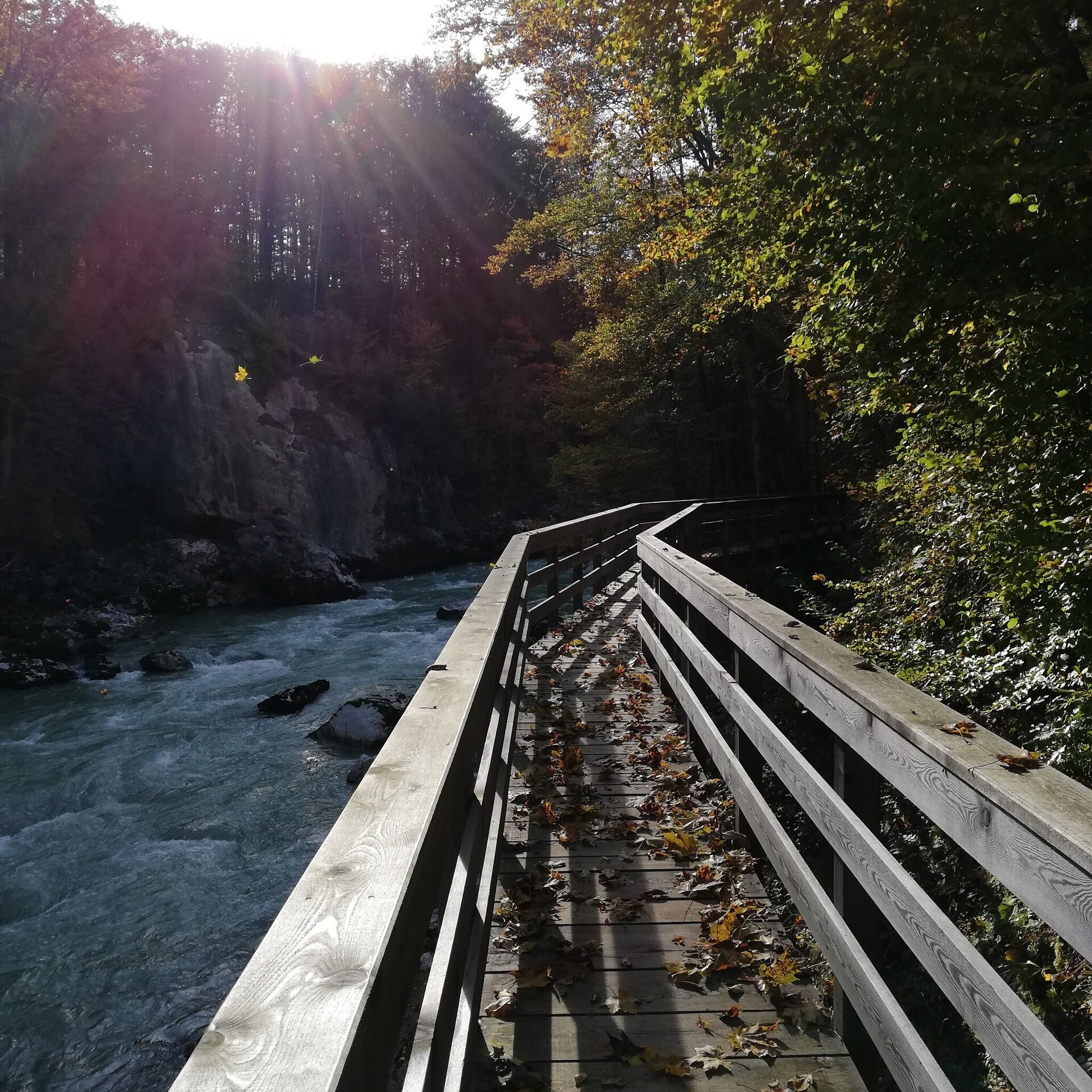
From Lofer along the “Triftsteig” on the Saalach in the direction of Au. Return via the Bairau path to Lofer.
Physical condition: The trail runs mostly in the valley of the Saalach. There are only a few metres of ascent. The total walking time for the 5.5 kilometres is ca. 2 hours.
In brief: The entire hike leads along well-maintained hiking trails. The outward route follows the Saalach downstream. The return is through the forest and over meadows. Refreshments are available halfway at the Gasthaus Antonia in Au or at the restaurants and cafes in the centre of Lofer.
Tour highlights: The first part of the hike runs close to the river, which flows particularly wildly here between giant rocks. You might even spot a kayaker in the Devil's Gorge.
The tour is part of “Hiking with Kids” in the Salzburger Saalachtal. The duration and difficulty are suitable for children/families.
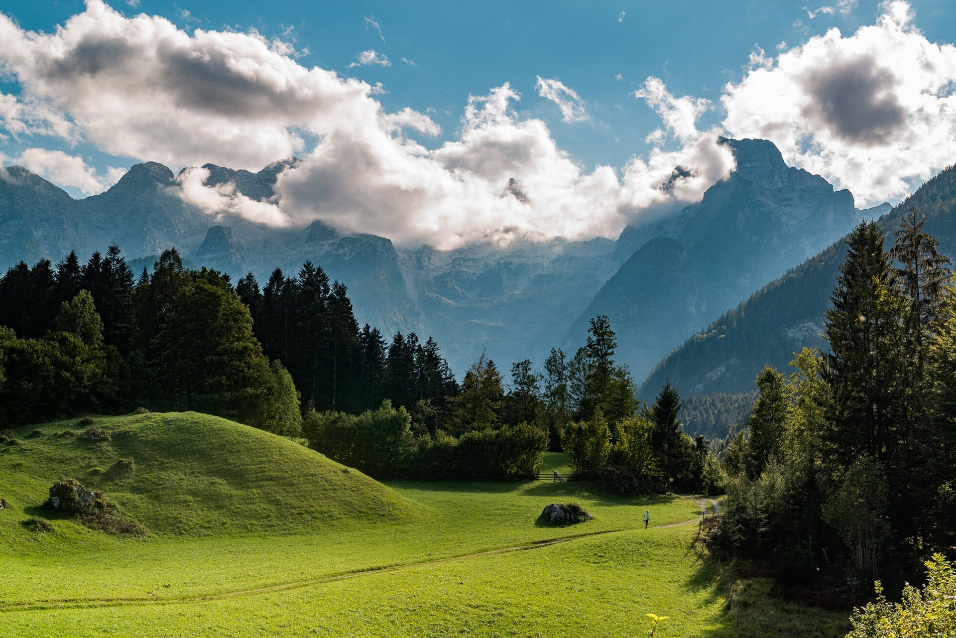
From the Tourist Office in Lofer, 5 minutes along the pavement next to the road to the Teufelssteg. Do not cross this but follow the Saalach downstream on the left side. The Triftsteig was seriously damaged by floods in 2013 and reopened in autumn 2020. The hike continues past the “White Water Marina” and over the Au bridge. Straight after the Au bridge turn right onto the hiking trail nr. 62 to Au. Return to Lofer along the Bairau path a little above the river with a fantastic view of the Loferer Steinberge. After Bairau, you return through Bairau Park to the Teufelssteg. Cross over it to return to the centre of Lofer.
- Start
- Lofer tourist information office
- Goal
- Lofer tourist information office
Directions & Parking
From Innsbruck via the A12 to the exit Wörgl. From there via the B178 and St. Johann to Lofer.
Large car park in the centre of Lofer next to the main road at the Salzburger Saalachtal Tourist Office.
Public transport: Public bus 260 from Zell am See or Salzburg to Lofer (Bus stop: Neue Mittelschule/TVB).
Public bus 4012 from Kitzbühel/St. Johann to Lofer (Bus stop: Neue Mittelschule/TVB).
Coordinates:
WGS: 47.58674, 12.6954
GMS: 47° 35' 12.3" N, 12° 41' 43.4" E
More Information & Links
Tips
Tour Highlights: Der erste Teil der Wanderung verläuft nah entlang des Flusses, der hier besonders wild zwischen riesigen Felsblöcken dahin strömt. Vielleicht entdeckt Ihr einen Kajakfahrer in der Teufelsschlucht.