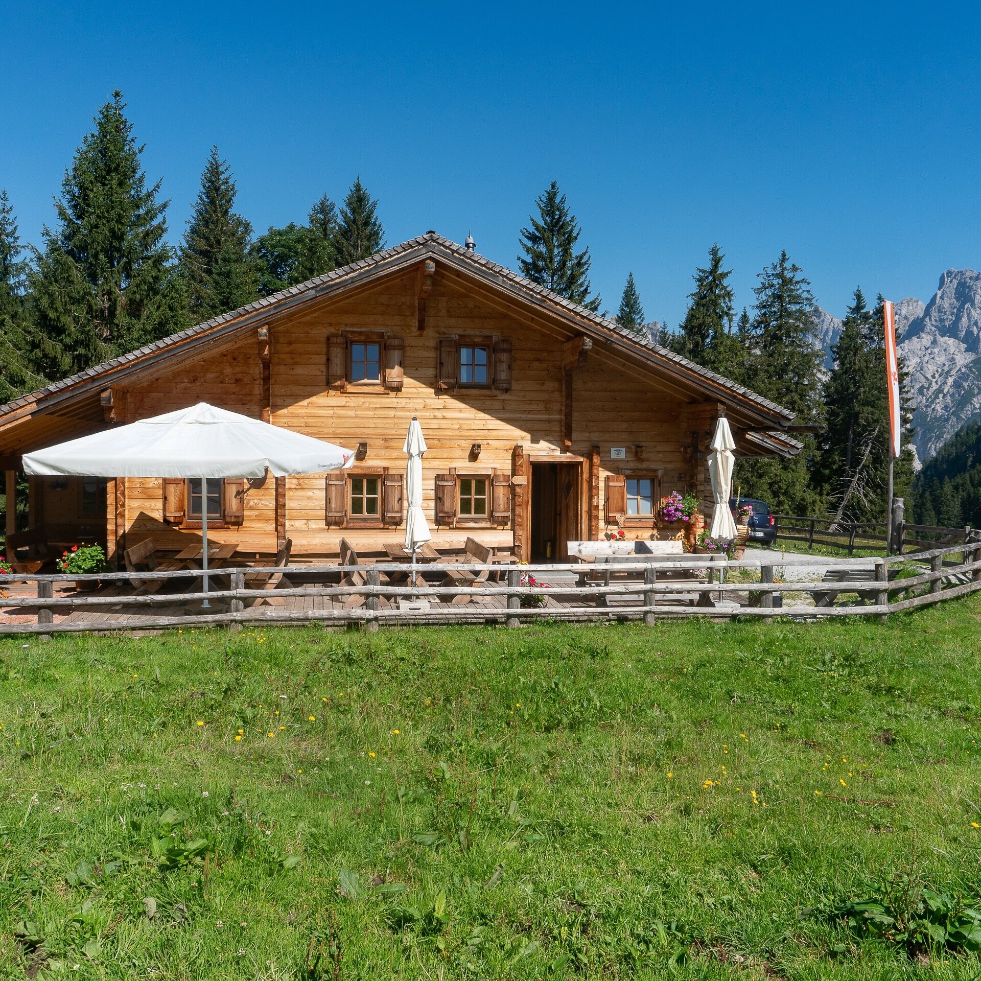
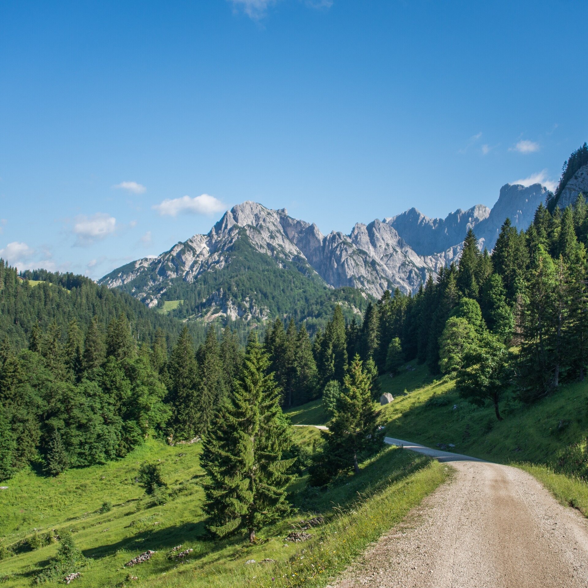
Hike suitable for children's buggies from the AlmErlebnisBus stop "Kammerlingalm" along the forest road to the alm.
Physical condition: Along the hike there is a height difference of 50 metres over 1.5 kilometres – first uphill and then downhill. The total hiking time is ca. 1 ¼.
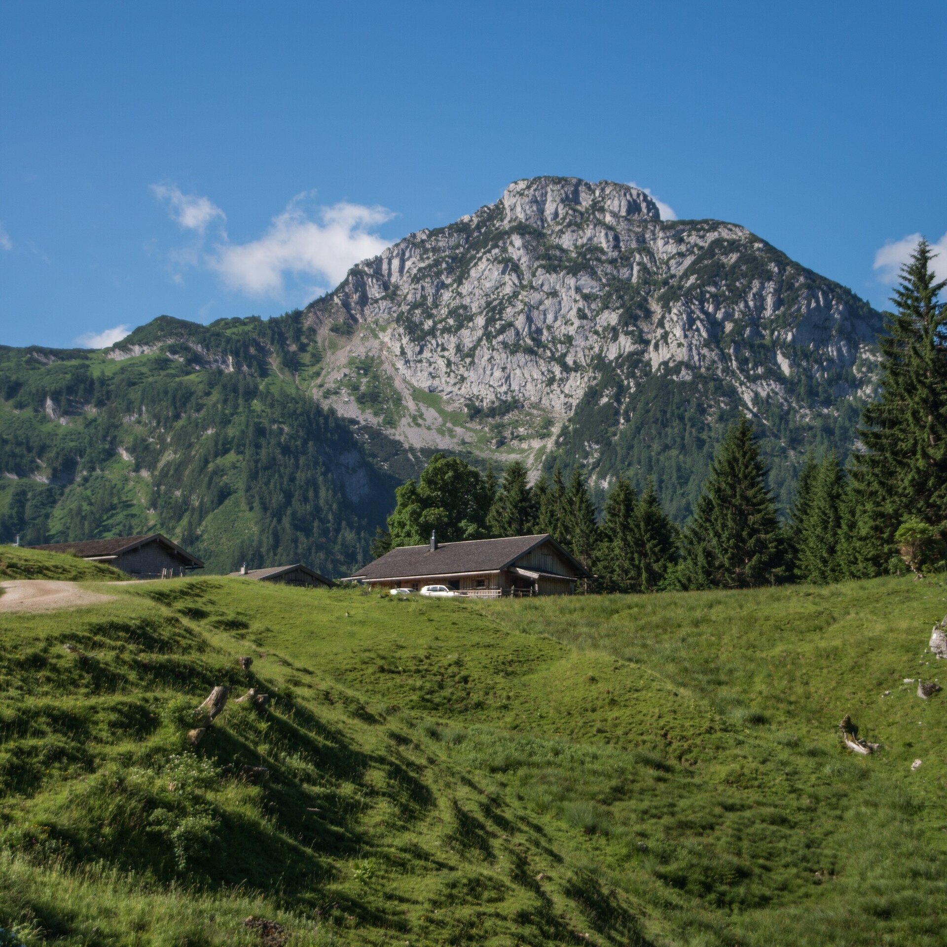
In brief: The hike runs along a gravel road, always gently uphill to the Kammerlingalm. Once you arrive at the top you can stroll over the flat alpine pasture. Return the same way downhill. Refreshments available at the Almausschank Kammerlingalm.
Tour highlights: The Kammerlingalm with countless alm huts and cows and the almausschank (refreshments)
The tour is part of “Hiking with Kids” in the Salzburger Saalachtal. The duration and difficulty are suitable for children/families.
From the bus stop “Abzweigung Kammerlingalm” along the forest road (hiking trail nr. 29) to the Kammerlingalm. Return the same way.
- Start
- AlmErlebnisBus stop Kammerlingalm
- Goal
- AlmErlebnisBus stop Kammerlingalm
Best Time of Year
Jän
Feb
Mär
Apr
Mai
Jun
Jul
Aug
Sep
Okt
Nov
Dez
Directions & Parking
Parking:
Via the B311 to Weißbach bei Lofer. Here it is best to transfer to the AlmErlebnisBus. Otherwise, arrival via the L110 (Hirschbichl Landesstraße) as far as Waltlmühlsäge is possible. From here driving is forbidden and the way to the Kammerlingalm turn off has to be covered on foot (ca. 45 min).
In the public car parks in Weißbach or Waltlmühlsäge (both subject to a fee).
Public transport: With the bus 260 (timetable) to the bus stop Weißbach Gemeindeamt and further on with the AlmErlebnisBus (timetable) to the bus stop Kammerlingalm Abzw.
Coordinates:
WGS: 47.54988, 12.79651
GMS: 47° 32' 59.6" N, 12° 47' 47.4" E
In the public car parks in Weißbach or Waltlmühlsäge (both subject to a fee).
Public transport: With the bus 260 (timetable) to the bus stop Weißbach Gemeindeamt and further on with the AlmErlebnisBus (timetable) to the bus stop Kammerlingalm Abzw.
Coordinates:
WGS: 47.54988, 12.79651
GMS: 47° 32' 59.6" N, 12° 47' 47.4" E