The Vorderkaserklamm gorge between St. Martin and Weißbach was first opened to visitors in 1882.
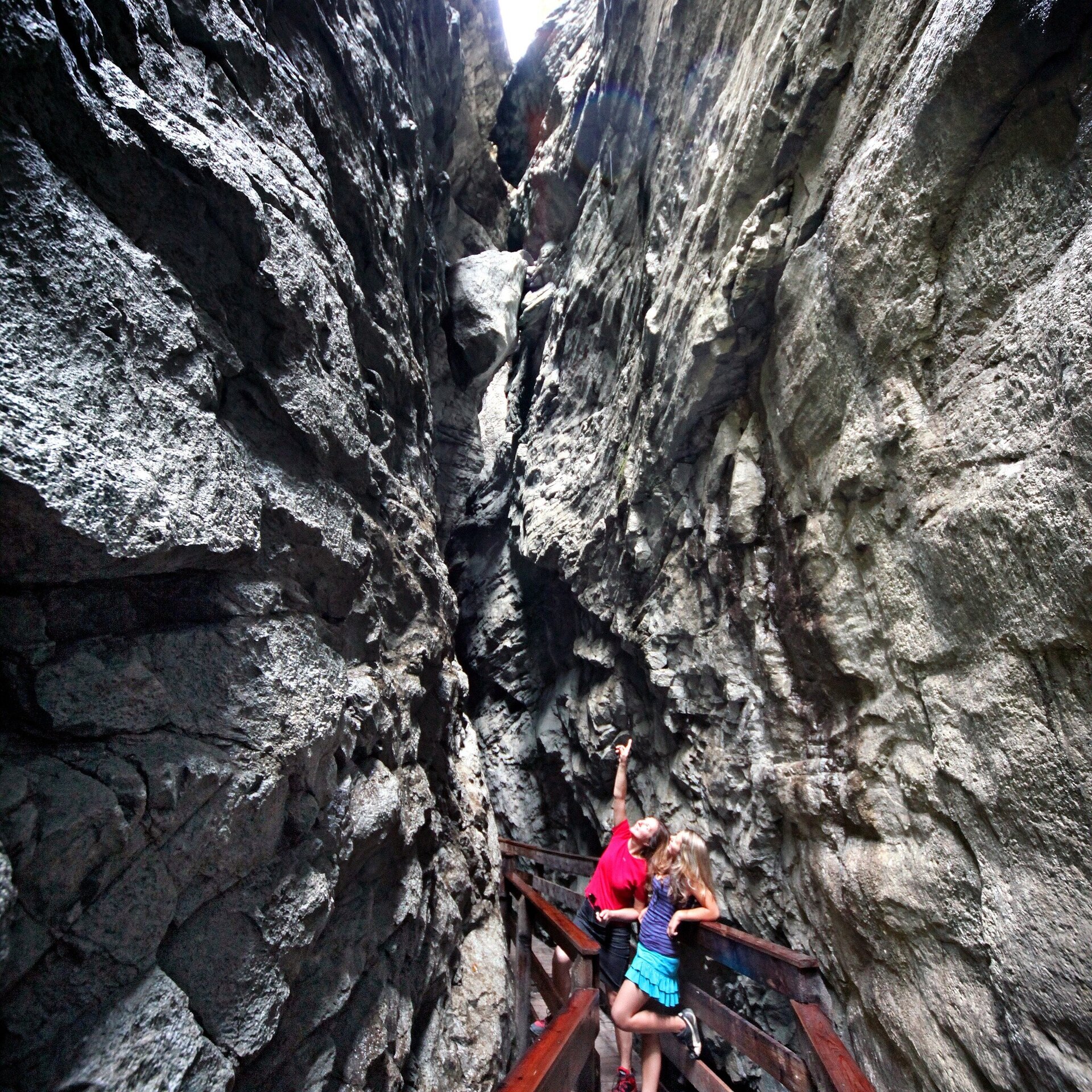
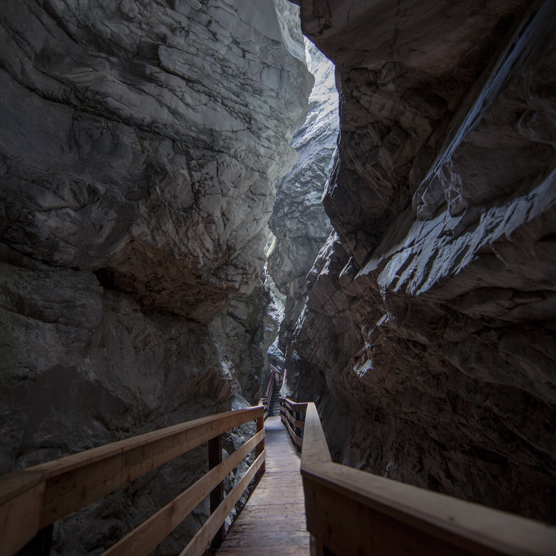
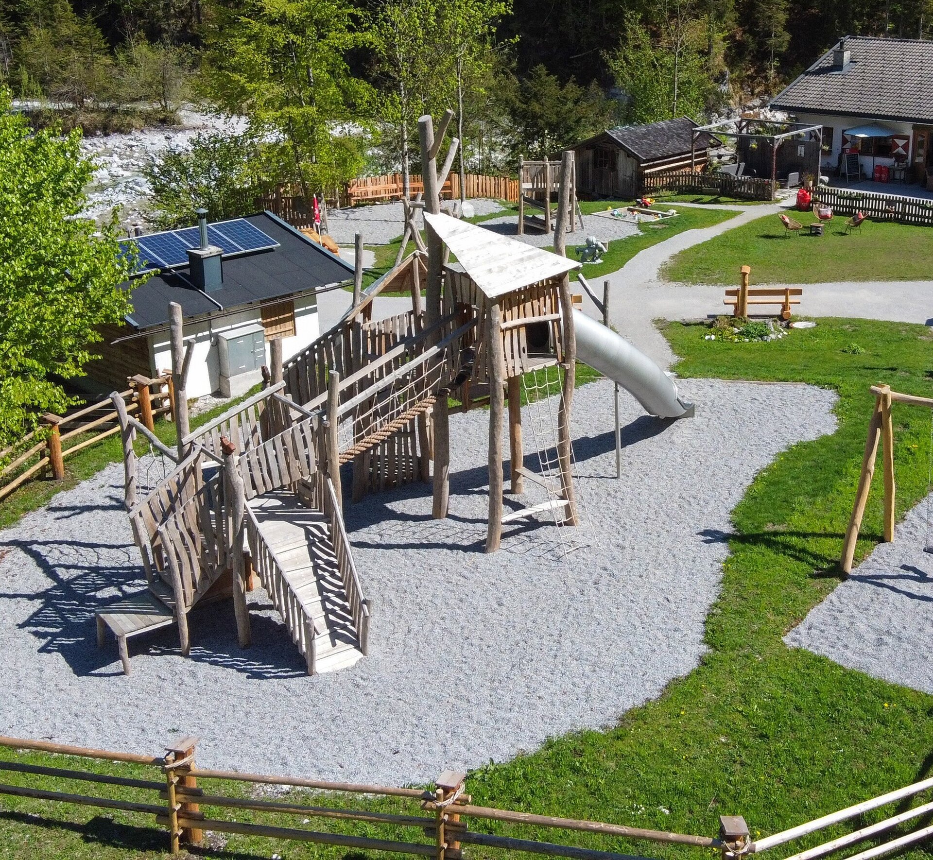
12,000 to 14,000 years ago, when the ice-age glaciers had melted away, the Ödenbach stream began to carve into the hard rock. Today the gorge is 400 metres long, 80 metres deep, up to six metres wide at the top and 80 centimetres narrow at the bottom. The extremely exciting path through the gorge leads over 51 footbridges and 35 stairs with a total of 373 steps.On the way to the Vorderkaserklamm gorge, which is about 2 kilometres long, you embark on an exciting journey back to the Stone Age. Visitors to the Stone Age Trail, especially children, are introduced to the way of life of earlier times in a playful way. The trail is lined with exciting and informative climbing and rope stations made of wood, as well as a mammoth and a full-size sabre-toothed tiger. An adventurous journey into the Stone Age.
Tour through the Vorderkaserklamm gorge
- Start
- Entrance Vorderkaserklamm
- Goal
- Entrance Vorderkaserklamm
Best Time of Year
Jän
Feb
Mär
Apr
Mai
Jun
Jul
Aug
Sep
Okt
Nov
Dez
Directions & Parking
Parking:
The exit to the Vorderkaserklamm is on the B311 between Lofer and St. Martin. You can park directly at the federal road exit and hike to the gorge via the Stone Age Experience Trail, which is about 2 kilometres long.
Shortly after the exit from the main road (subject to a charge) or directly at the Jausenstation Vorderkaser.
Public transport: Take the 260 bus to the St. Martin/Vorderkaserklamm stop (timetable).
Coordinates:
WGS: 47.52, 12.70498
GMS: 47° 31' 12.0" N, 12° 42' 17.9" E
Or you can drive to the entrance of the Vorderkaserklamm and park there.
Shortly after the exit from the main road (subject to a charge) or directly at the Jausenstation Vorderkaser.
Public transport: Take the 260 bus to the St. Martin/Vorderkaserklamm stop (timetable).
Coordinates:
WGS: 47.52, 12.70498
GMS: 47° 31' 12.0" N, 12° 42' 17.9" E