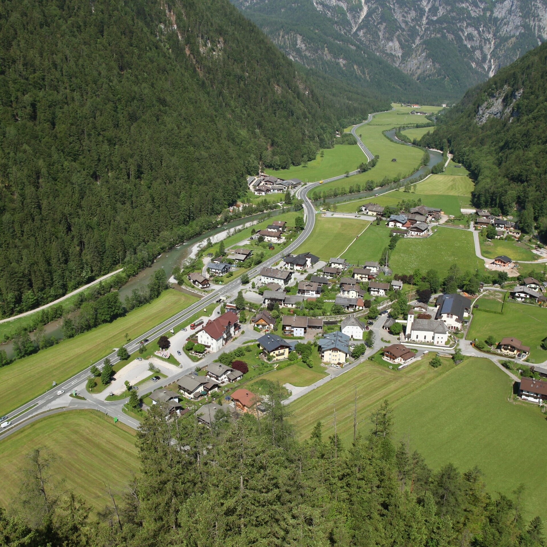
Along one side of the river from Weißbach via the Gasthof Frohnwies to the Hackerbauer and on the other side back to Weißbach.
Physical condition: The total hike is mainly flat through Weißbach. The total hiking time for the almost 3.5 kilometres is ca. 1 1/4 hours
In brief: The first part of the hike is along the asphalt path parallel to the main road to Gasthof Frohnwies and further on to Hackerbauer. From there a well-maintained gravel bath leads back to Weißbach. During the hike there is a stop for refreshments after ca. 750 metres at the Gasthof Frohnwies. At the end of the tour there are further restaurants and cafes offering refreshments in the centre of Weißbach.
Tour highlights: At the end of the tour the Top Spot and “wild bathing spot” at the new stream invite you to take a break and while away the time.
The tour is part of “Hiking with Kids” in the Salzburger Saalachtal. The duration and difficulty are suitable for children/families.
From Weißbach along the hiking and Tauern cycling path to the Gasthof Frohnwies. Through the underpass after the Gasthof Frohnwies to reach the other side of the road. Continue along the asphalt road to Hackerbauer. At the farm continue along the left side of the river downstream to the Bauunternehmen Schmuck and along the Tauern cycle path further on to the council offices in Weißbach. The Top Spot Weißbach is situated in the last few metres.
- Start
- Weißbach - Town hall
- Goal
- Weißbach - Town hall
Directions & Parking
Parking in the public car parks in Weißbach (subject to a fee)
Public transport: With the bus 260 to the bus stop Weißbach – Gemeindeamt (timetable)
Coordinates:
WGS: 47.52075, 12.75228
GMS: 47° 31' 14.7" N, 12° 45' 8.2" E